Stewart Falls
Utah County, Utah
Your visit at a glance
- Waterfall height
- Not recorded
- Location
- Utah County, Utah
- Access status
- Visitor route and trailhead documented; recreation fee at the Alpine Loop fee booth
- The walk
- About 3.5 miles out and back, per Utah.com; Road Trip Ryan maps 3.75 miles
- Ground & access
- Wide, well-marked trail. The descent from the ridge to the base of the falls is steep. Slippery in winter.
Stewart Falls is a two-tier waterfall over 200 feet tall on the east side of Mount Timpanogos. The Stewart Falls trail starts on the south side of the Aspen Grove Trailhead parking lot, near the pit toilet. The Mount Timpanogos trail also starts here, closer to the main road; do not take it. Stay on the main Stewart Falls trail as it climbs the hillside, rolls through aspens and then descends, more steeply and longer than expected, to a rocky outcrop with a view of the falls about 2 miles from the trailhead. The trail continues a short distance down to the stream bed and the base of the falls. Return the same way.
Plan your visit
Aspen Grove Trailhead on the Alpine Loop Road, Stewart Falls trail to the overlook and base of Stewart Falls
Utah.com gives about 3.5 miles out and back. Road Trip Ryan places the rocky outcrop overlook about 2 miles from the trailhead and maps 3.75 miles for the route.
Wide, well-marked trail. The descent from the ridge to the base of the falls is steep. Slippery in winter.
Where to start
Aspen Grove Trailhead. From US 189 in Provo Canyon, about 7 miles up the canyon, turn left onto the Alpine Loop Road toward Sundance Resort and drive 4.8 miles to the trailhead on the left, just after the Forest Service fee booth.
Timing & water
Utah.com says the trail is open year-round; some visitors snowshoe to the falls in winter.
Before you go
A fee is paid at the Forest Service fee booth on the Alpine Loop Road; Utah.com lists $6 for a three-day pass.
Visitor informationMore waterfalls nearby
Within 40 straight-line miles. Road and trail distances will differ.
- Lost Creek FallsPartial guide: steep trail, unclear paths near the fallsUtah County, UT2.5 miS
- Scout FallsNational forest trail route documented; recreation pass and weekend timed entryUtah County, UT2.8 miNW
- Upper FallsFirsthand trail guide; check current closuresUtah County, UT3.0 miS
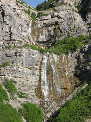 Bridal Veil FallsPaved park path and short trail to the base; also seen from the road607 ft (185 m) · Utah County, UT3.3 miS
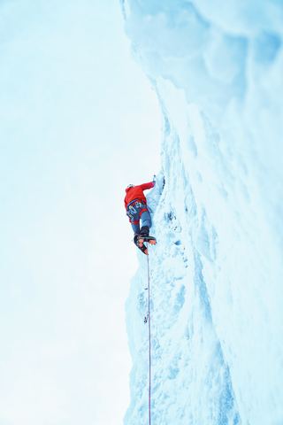 Upper Bridal Veil FallsUtah County, UT3.3 miS
- Smith Ditch Falls No. 2Utah County, UT3.8 miS
- Smith Ditch Falls No.1Unsigned foothill trail from a canyon park; rockfall hazardUtah County, UT3.9 miS
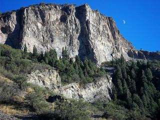 Battle Creek FallsPublished guidebook route and trailhead documentedUtah County, UT4.8 miW
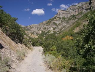 Grove Creek FallsPartial guide: trail to two waterfall viewpoints; which falls this listing marks is not confirmedUtah County, UT5.4 miW