Upper Falls
Utah County, Utah
Your visit at a glance
- Waterfall height
- Not recorded
- Location
- Utah County, Utah
- Access status
- Firsthand trail guide; check current closures
- The walk
- 0.7 mile round trip
- Ground & access
- Moderate rocky climb. The firsthand guide warns of sudden rockfalls and hazardous undermined snow.
MyHikes describes crossing the Provo River bridge from Upper Falls Park, briefly joining the parkway, then taking the rocky uphill path to Upper Falls.
Plan your visit
Upper Falls Park to Upper Falls
MyHikes records a 0.7-mile out-and-back route; the waterfall is about 0.35 mile from the start.
Moderate rocky climb. The firsthand guide warns of sudden rockfalls and hazardous undermined snow.
Where to start
Use Upper Falls Park’s main parking lot off Provo Canyon Road, identified in the guide at 40.346614, -111.593998.
Timing & water
The firsthand account dates to 2023. Confirm current Provo Canyon closures before travel, especially during snowmelt.
Before you go
Fees, permits and reservation requirements for this visit have not been confirmed; check with the land manager.
Visitor informationMore waterfalls nearby
Within 40 straight-line miles. Road and trail distances will differ.
 Upper Bridal Veil FallsUtah County, UT0.7 miSW
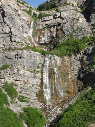 Bridal Veil FallsPaved park path and short trail to the base; also seen from the road607 ft (185 m) · Utah County, UT0.7 miSW
- Lost Creek FallsPartial guide: steep trail, unclear paths near the fallsUtah County, UT1.1 miW
- Smith Ditch Falls No. 2Utah County, UT1.4 miSW
- Smith Ditch Falls No.1Unsigned foothill trail from a canyon park; rockfall hazardUtah County, UT1.5 miSW
- Stewart FallsVisitor route and trailhead documented; recreation fee at the Alpine Loop fee boothUtah County, UT3.0 miN
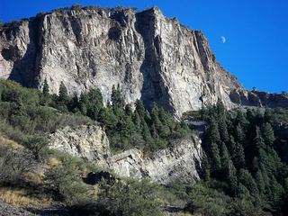 Battle Creek FallsPublished guidebook route and trailhead documentedUtah County, UT5.6 miW
- Scout FallsNational forest trail route documented; recreation pass and weekend timed entryUtah County, UT5.7 miNW
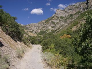 Grove Creek FallsPartial guide: trail to two waterfall viewpoints; which falls this listing marks is not confirmedUtah County, UT6.5 miW