Ghost Falls
Salt Lake County, Utah
Your visit at a glance
- Waterfall height
- Not recorded
- Location
- Salt Lake County, Utah
- Access status
- Signed Corner Canyon trails from a trailhead lot; shared with bikes
- The walk
- About 1.5 miles to the waterfall, per Random Rambler
- Ground & access
- Dirt trails through forest with steady climbing; bridges over the creek near the falls.
Ghost Falls is a small waterfall where a spring-fed creek drops over a limestone outcrop just off the Ghost Falls trail in Corner Canyon, Draper. Random Rambler starts at the Coyote Hollow Trailhead at the end of Coyote Hollow Court and follows the Corner Canyon trails uphill to the signed turnoffs for Ghost Falls. Bridge number 5 crosses the creek at the base of the falls. The upper end of the Ghost Falls trail also has a trailhead on Corner Canyon Road. Return the same way. These trails are shared with mountain bikers.
Plan your visit
Coyote Hollow Trailhead in Draper, up the Corner Canyon trails to the signed turnoffs for Ghost Falls, to the bridge at the base of the falls
Random Rambler gives about 1.5 miles from the Coyote Hollow Trailhead to the waterfall. Utah Mountain Biking says the Ghost Falls trail is 1.6 miles long, from its lower end to the Ghost Falls trailhead on Corner Canyon Road, and that the falls are about 70 feet off the trail.
Dirt trails through forest with steady climbing; bridges over the creek near the falls.
Where to start
Coyote Hollow Trailhead lot at the end of Coyote Hollow Court, Draper. From I-15, take 14600 South east, then Traverse Ridge Road, Mike Weir Drive, Pinion Hill Lane, Canyon Vista Drive, Gray Fox Drive and Coyote Hollow Court.
Timing & water
Utah Mountain Biking gives May through November as the riding season on the Ghost Falls trail.
Before you go
No fee is mentioned.
Visitor informationVisit sources
More waterfalls nearby
Within 40 straight-line miles. Road and trail distances will differ.
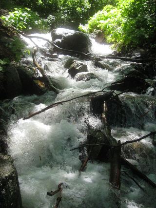 Rocky Mouth Canyon WaterfallGuide: short trail from Wasatch BoulevardSalt Lake County, UT3.4 miN
- Horsetail FallsResearched visit notesUtah County, UT4.9 miE
 Lower Bells Canyon WaterfallSteep canyon trail from a signed trailhead to a short spurSalt Lake County, UT5.2 miNE
- Upper Bells Canyon WaterfallSteep canyon trail from a signed trailhead; upper falls beyond the Lower Falls junctionSalt Lake County, UT5.3 miNE
- Monet WaterfallUtah County, UT6.5 miSW
- Lisa FallsRoute and parking researchedSalt Lake County, UT7.3 miNE
- Upper Lisa FallsSalt Lake County, UT7.7 miNE
- Gloria FallsResearched visit notesSalt Lake County, UT8.4 miNE
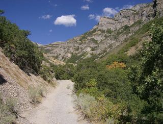 Grove Creek FallsPartial guide: trail to two waterfall viewpoints; which falls this listing marks is not confirmedUtah County, UT10 miSE