Adams Canyon Waterfall
Davis County, Utah
Your visit at a glance
- Waterfall height
- Not recorded
- Location
- Davis County, Utah
- Access status
- Visitor route and trailhead documented; steep canyon trail
- The walk
- About 4 miles round trip with over 1,000 feet of gain, per Road Trip Ryan; its map line for the upper falls is 3.90 miles
- Ground & access
- Steep, rocky trail with over 1,000 feet of gain. The lower switchbacks are hot with little shade; the canyon section is shaded. The last section below the falls is particularly steep and rocky, with braided side paths.
The upper Adams Canyon falls is a 40-foot waterfall in Adams Canyon above Layton and Fruit Heights. From the trailhead, the trail follows a fence line and climbs about 11 switchbacks. Stay left on the main path past the bench and the side trails to the lower falls. At the top of the switchbacks, turn right onto the Bonneville Shoreline Trail as it contours into Adams Canyon. About 0.75 miles from the trailhead, where the Bonneville Shoreline Trail turns right across a bridge, go straight up the canyon bottom instead. Past a log bridge the trail has steep, rocky sections and braided side paths; stay on the main trail up the canyon to the falls. Return the same way. The smaller lower falls has its own listing.
Plan your visit
Adams Canyon Trailhead on Eastside Drive, Adams Canyon Trail up the switchbacks, right at the Bonneville Shoreline Trail junction, then straight up the bottom of Adams Canyon to the 40-foot upper falls
Road Trip Ryan gives the upper falls hike as about 4 miles round trip with over 1,000 feet of elevation gain, and its route map line as 3.90 miles.
Steep, rocky trail with over 1,000 feet of gain. The lower switchbacks are hot with little shade; the canyon section is shaded. The last section below the falls is particularly steep and rocky, with braided side paths.
Where to start
Adams Canyon Trailhead on Eastside Drive, reached from the Oak Hills Drive exit of US 89: turn right, then left on Eastside Drive. Parking on the right, overflow on the left. Restroom and water fountain at the trailhead. On summer weekends the lot can fill early.
Timing & water
Road Trip Ryan lists spring, summer and fall. Start early in summer because the lower section is hot.
Before you go
No fee is mentioned.
Visitor informationVisit sources
More waterfalls nearby
Within 40 straight-line miles. Road and trail distances will differ.
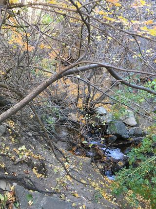 Adams Canyon Lower FallsVisitor route and trailhead documented; steep switchbacks16 ft (5 m) · Davis County, UT1.0 miW
- Hidden FallsResearched visit notesSalt Lake County, UT31 miS
- Moss Ledge WaterfallPartial guide: short unmaintained social trail with scramblingSalt Lake County, UT31 miS
- Easter FallsBox Elder County, UT32 miN
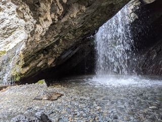 Donut FallsSummer parking and signed approach verified; winter gate changes the starting point.20 ft (6 m) · Salt Lake County, UT32 miS
- Upper Lisa FallsSalt Lake County, UT35 miS
- Lisa FallsRoute and parking researchedSalt Lake County, UT35 miS
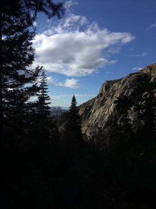 Lower Bells Canyon WaterfallSteep canyon trail from a signed trailhead to a short spurSalt Lake County, UT35 miS
- Upper Bells Canyon WaterfallSteep canyon trail from a signed trailhead; upper falls beyond the Lower Falls junctionSalt Lake County, UT36 miS