Waterfalls near Cedar City, UT
13 named waterfalls within 30 miles of Cedar City, closest first. Distances are straight-line from the town center.
Visits with route details
Read the walking route, starting point and current access notes.
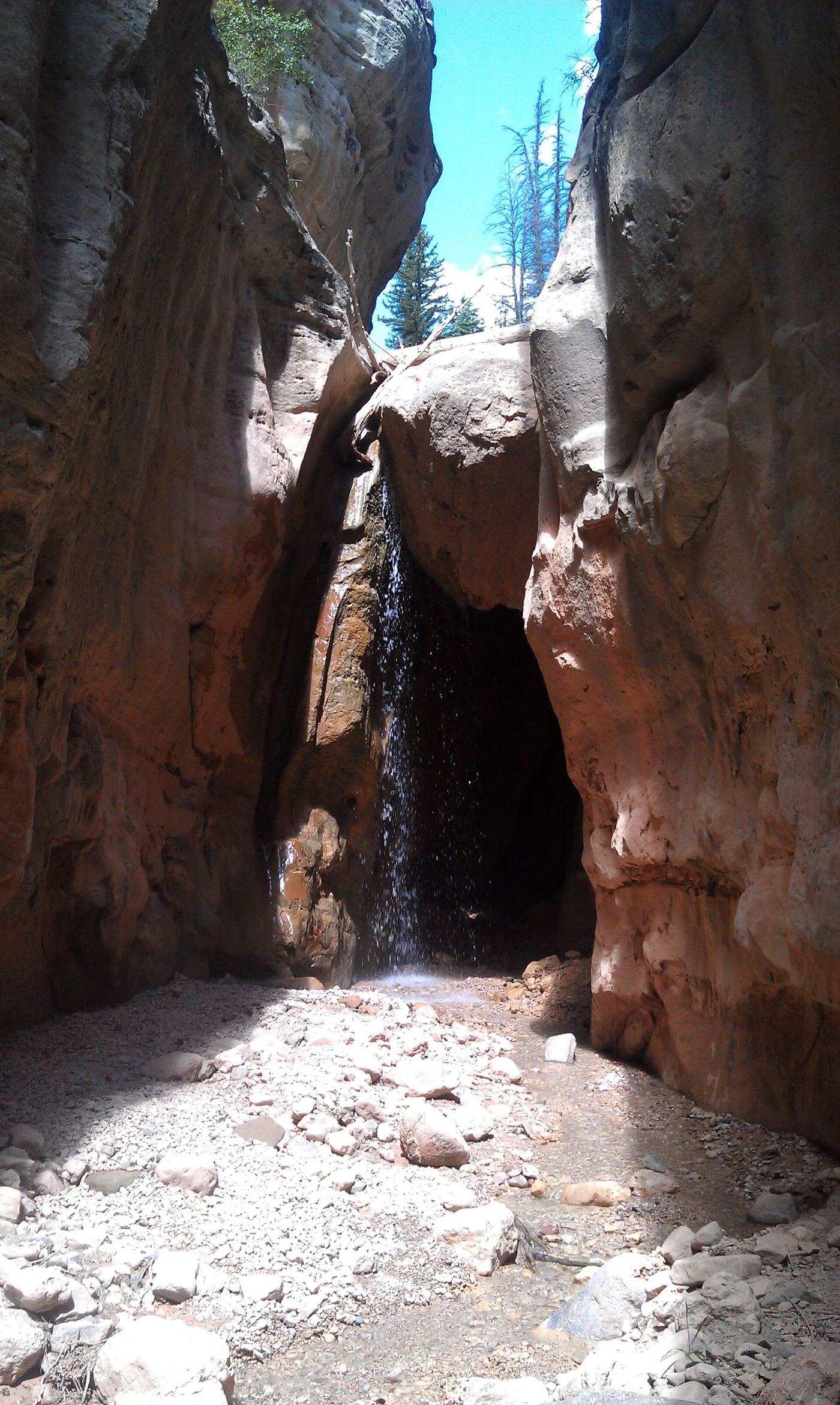
 Rattlesnake Creek WaterfallNational forest trail route documented; long descent to a view from the top of the fallsIron County, UT
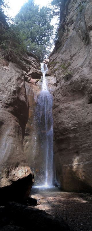
- 2nd Falls End of HikePermit hike up a creek and slot canyon past the first falls; ladder and scrambleIron County, UT
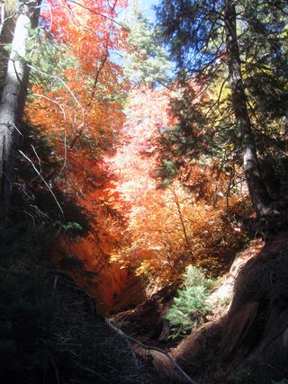 Lower Kanarra FallsPartial guide: permit hike documented; which drop this listing marks is not confirmedIron County, UT
- Cascade FallsSource-reviewed route and parkingKane County, UT
- Archangel FallsPartial guide: off-trail wilderness route; permit requiredWashington County, UT
- Mystery Canyon FallsNational park trail and river route documented; flash flood risk131 ft (40 m) · Washington County, UT
- Barrier FallsPartial guide: long off-trail creek route on a social trailWashington County, UT
- Double FallsPartial guide: long off-trail creek route on a social trailWashington County, UT
- Toquerville FallsRough dirt road to BLM falls; short walk without four-wheel drive10 ft (3 m) · Washington County, UT
- Menu FallsGuide: road walk from Big Bend to a viewing deckWashington County, UT
Closest with a photo
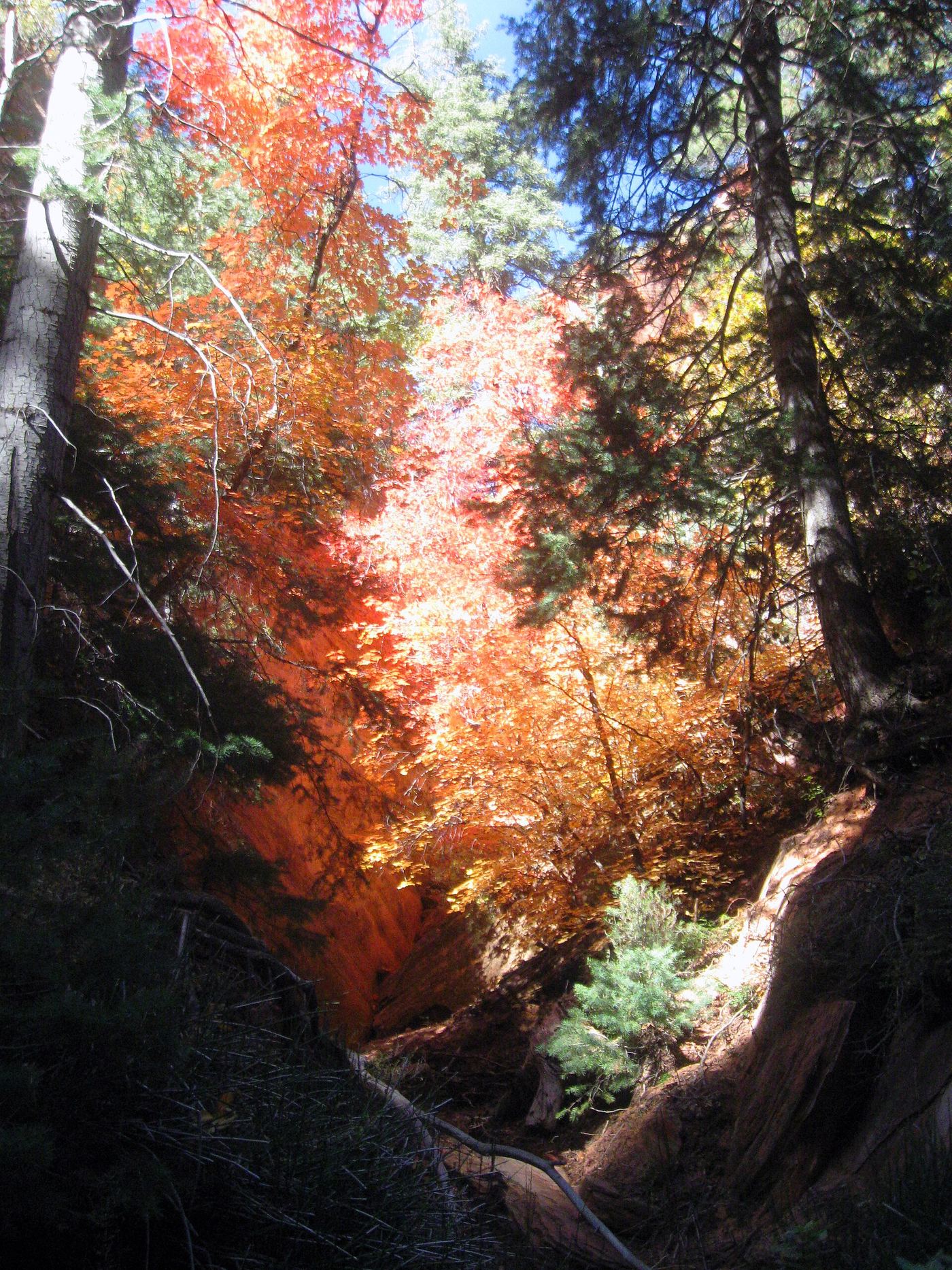
All 13 waterfalls
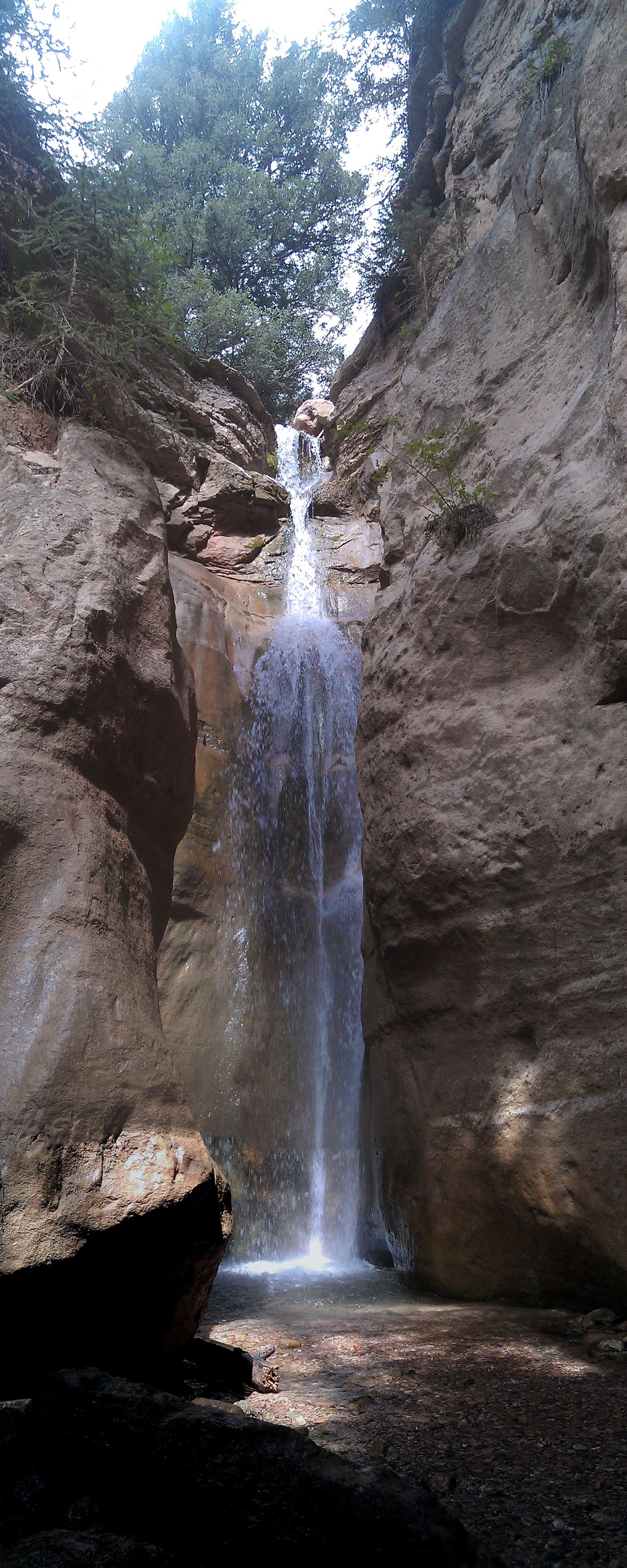
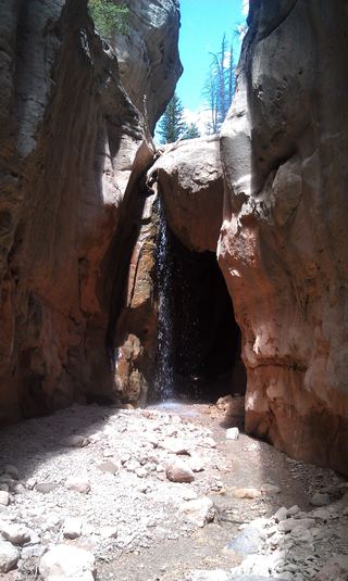 Lake Creek WaterfallIron County, UT8.7 miE
- Rattlesnake Creek WaterfallNational forest trail route documented; long descent to a view from the top of the fallsIron County, UT8.8 miE
- 2nd Falls End of HikePermit hike up a creek and slot canyon past the first falls; ladder and scrambleIron County, UT11 miSW
- Lower Kanarra FallsPartial guide: permit hike documented; which drop this listing marks is not confirmedIron County, UT11 miSW
- Cascade FallsSource-reviewed route and parkingKane County, UT21 miSE
- R2 - Bolted Rappel Anchor: 6 ft.Washington County, UT25 miS
- R3 - Keyhole Falls - Bolted Rappel Anchor: 10 ft.Washington County, UT25 miS
- Archangel FallsPartial guide: off-trail wilderness route; permit requiredWashington County, UT25 miS
- Mystery Canyon FallsNational park trail and river route documented; flash flood risk131 ft (40 m) · Washington County, UT27 miS
- Barrier FallsPartial guide: long off-trail creek route on a social trailWashington County, UT27 miS
- Double FallsPartial guide: long off-trail creek route on a social trailWashington County, UT27 miS
- Toquerville FallsRough dirt road to BLM falls; short walk without four-wheel drive10 ft (3 m) · Washington County, UT28 miS
- Menu FallsGuide: road walk from Big Bend to a viewing deckWashington County, UT28 miS