Rattlesnake Creek Waterfall
Iron County, Utah
Your visit at a glance
- Waterfall height
- Not recorded
- Location
- Iron County, Utah
- Access status
- National forest trail route documented; long descent to a view from the top of the falls
- The walk
- About 4.7 miles to Rattlesnake Creek, then 1.5 miles to the High Mountain Trail junction, then a few minutes down the creek, all one way, per Road Trip Ryan
- Ground & access
- Long descent on trail, then creek-side walking. A short scramble or bypass near a small falls above the main drop. Steep edges at the top of the falls. Flash flood risk is high in Ashdown Gorge.
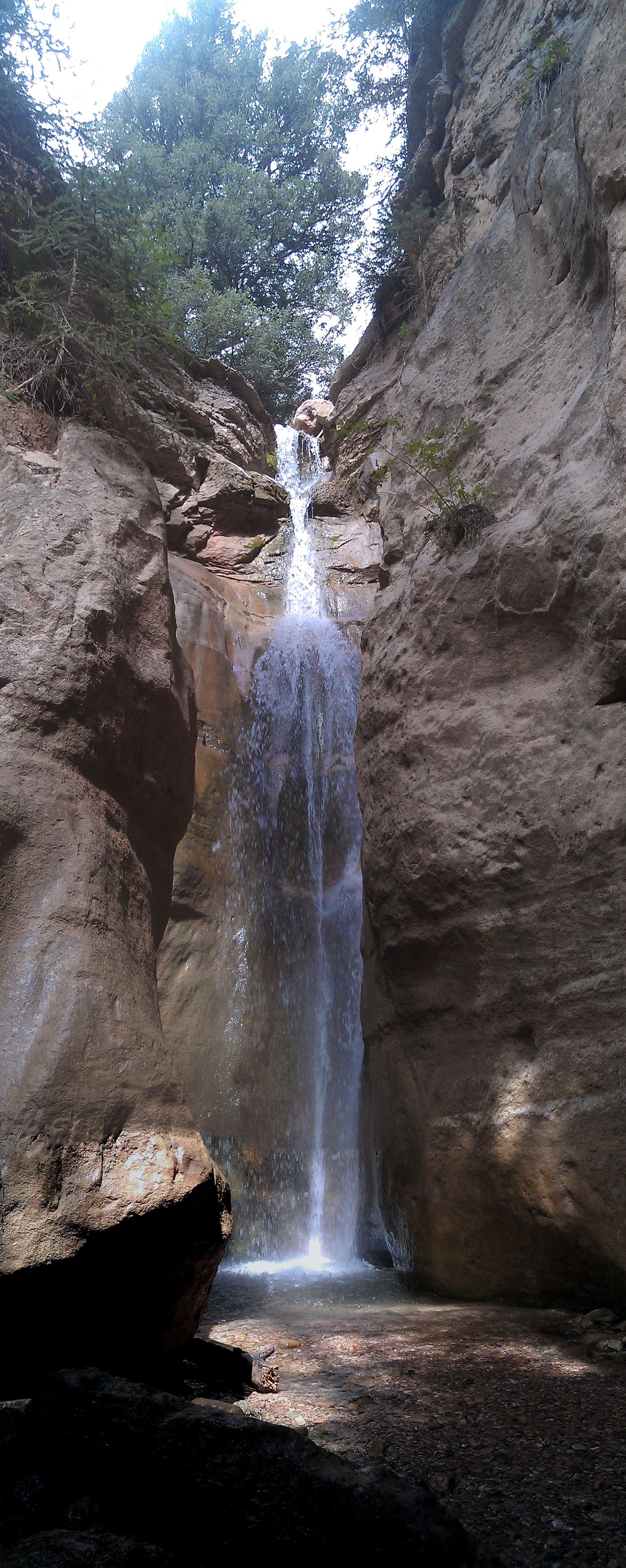
Rattlesnake Creek Falls is on Rattlesnake Creek above Ashdown Gorge, below the north rim of Cedar Breaks National Monument. From the Rattlesnake Creek Trailhead, the trail follows a fence, passes two short side trails to Cedar Breaks overlooks at about 0.6 and 0.8 miles, then switchbacks down to Rattlesnake Creek at about 4.7 miles. It crosses the creek once and follows the west bank for 1.5 miles to the High Mountain Trail junction. Go left to reach the creek, then walk a few minutes down the creek to overlook the falls from the top. A small falls on the way can be passed with a little scrambling on the left or without scrambling on the right. Return the same way, a long climb back to the trailhead, or arrange a shuttle and continue through Ashdown Gorge to UT-14. Do not go near the edge at the top of the falls.
Plan your visit
Rattlesnake Creek Trailhead on UT-148 just north of Cedar Breaks National Monument, Rattlesnake Creek Trail down to Rattlesnake Creek and along it to the High Mountain Trail junction, then a few minutes down the creek to overlook Rattlesnake Creek Falls from the top
Road Trip Ryan gives the segments separately: trailhead to Rattlesnake Creek about 4.7 miles, then 1.5 miles to the High Mountain Trail junction, then a few minutes down the creek to the top of the falls. It gives no single out-and-back total; its 12.7-mile figure is the full one-way shuttle hike through Ashdown Gorge.
Long descent on trail, then creek-side walking. A short scramble or bypass near a small falls above the main drop. Steep edges at the top of the falls. Flash flood risk is high in Ashdown Gorge.
Where to start
Rattlesnake Creek Trailhead, on the left side of UT-148, heading north, just after leaving Cedar Breaks National Monument, 8.5 miles from the UT-14 turnoff. Fairly large parking area with information signs.
Timing & water
Summer and fall, per Road Trip Ryan. Check the forecast for storms and flash floods before going.
Before you go
No fee is mentioned.
Visitor informationVisit sources
More waterfalls nearby
Within 40 straight-line miles. Road and trail distances will differ.
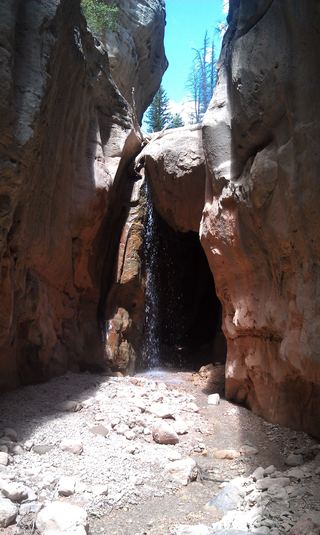 Lake Creek WaterfallIron County, UT0.1 miNW
- Cascade FallsSource-reviewed route and parkingKane County, UT13 miSE
- 2nd Falls End of HikePermit hike up a creek and slot canyon past the first falls; ladder and scrambleIron County, UT15 miSW
 Lower Kanarra FallsPartial guide: permit hike documented; which drop this listing marks is not confirmedIron County, UT15 miSW
- Mystery Canyon FallsNational park trail and river route documented; flash flood risk131 ft (40 m) · Washington County, UT24 miS
- R2 - Bolted Rappel Anchor: 6 ft.Washington County, UT24 miS
- R3 - Keyhole Falls - Bolted Rappel Anchor: 10 ft.Washington County, UT24 miS
- Archangel FallsPartial guide: off-trail wilderness route; permit requiredWashington County, UT24 miS
- Menu FallsGuide: road walk from Big Bend to a viewing deckWashington County, UT25 miS