Cascade Falls
Kane County, Utah
Your visit at a glance
- Waterfall height
- Not recorded
- Location
- Kane County, Utah
- Access status
- Source-reviewed route and parking
- The walk
- Approximately 1.3 miles return
- Ground & access
- Mostly level cliff-side trail with wooden steps, bridges and final stairs.
Grand Canyon Trust describes following the cliff-side trail to stairs and a final waterfall lookout, then returning the same way. Do not enter the cave system.
Plan your visit
Cascade Falls Trail to the lookout
Trust lists 1.3 miles overall and roughly 0.7 mile to the lookout; rounded figures, not precision measurements.
Mostly level cliff-side trail with wooden steps, bridges and final stairs.
Where to start
From UT 14, turn toward Duck Creek Visitor Center, continue on gravel roads following Cascade Falls signs and stay left at the Navajo Lake junction to the trailhead.
Timing & water
Current access and seasonal conditions require confirmation with the land manager.
Before you go
Trust lists no fee and advises checking current USFS information.
Visitor informationVisit sources
More waterfalls nearby
Within 40 straight-line miles. Road and trail distances will differ.
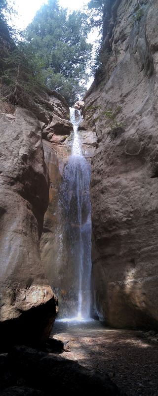 Rattlesnake Creek WaterfallNational forest trail route documented; long descent to a view from the top of the fallsIron County, UT13 miNW
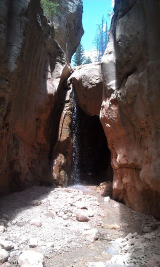 Lake Creek WaterfallIron County, UT13 miNW
- Mystery Canyon FallsNational park trail and river route documented; flash flood risk131 ft (40 m) · Washington County, UT17 miSW
- Menu FallsGuide: road walk from Big Bend to a viewing deckWashington County, UT18 miSW
- The FallsKane County, UT21 miSE
- R2 - Bolted Rappel Anchor: 6 ft.Washington County, UT21 miSW
- R3 - Keyhole Falls - Bolted Rappel Anchor: 10 ft.Washington County, UT21 miSW
- Barrier FallsPartial guide: long off-trail creek route on a social trailWashington County, UT21 miSW
- Archangel FallsPartial guide: off-trail wilderness route; permit requiredWashington County, UT21 miSW