Lower Kanarra Falls
Iron County, Utah
Your visit at a glance
- Waterfall height
- Not recorded
- Location
- Iron County, Utah
- Access status
- Partial guide: permit hike documented; which drop this listing marks is not confirmed
- The walk
- First large waterfall at 1.6 miles, per the Town of Kanarraville's Kanarra Falls site; the site lists the full hike as 4 miles round trip
- Ground & access
- Walking in cold, spring-fed water (usually ankle to mid-calf, deeper at high flow) and on rocky, slippery banks. Water shoes and poles are recommended. Flash flood and snowmelt hazards; no pets.
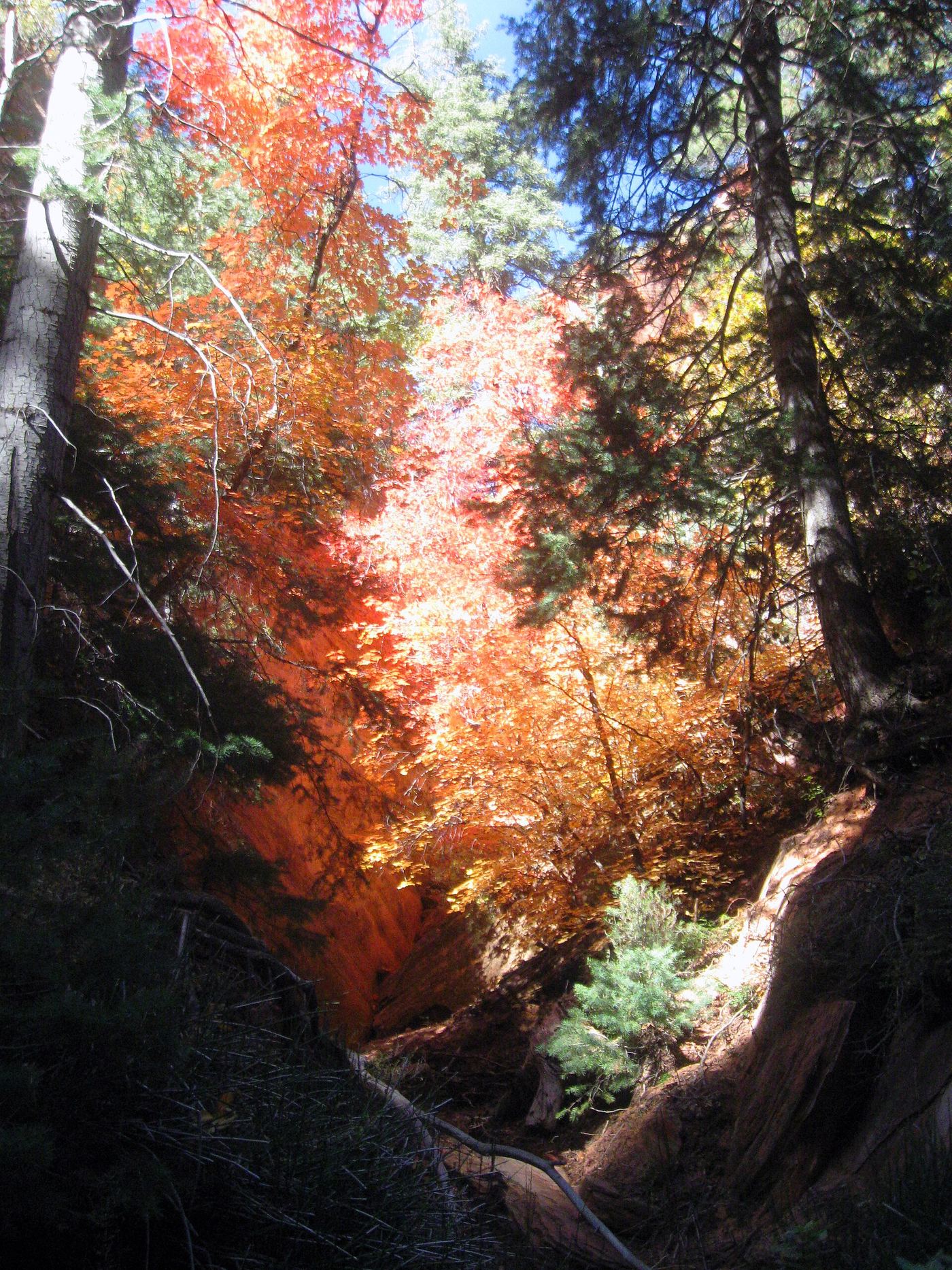
Kanarra Creek runs through a sandstone slot canyon above Kanarraville, with three waterfalls. The hike is managed by the Town of Kanarraville on state trust land, and a paid permit is required. From the trailhead lot, the trail follows an old access road for 0.8 mile into the Hurricane Cliffs, crossing the stream several times. Where the road ends, the trail narrows near the town spring and alternates between walking in the creek and on the bank. The first large waterfall is at 1.6 miles. To go farther you must climb a 20-foot ladder, and the trail is not maintained beyond it. This listing appears to be that first waterfall, but the sources do not say which drop is called Lower Kanarra Falls. Return the same way. The site says not to go beyond the final waterfall at 1.9 miles because the land past it is private.
Plan your visit
Kanarra Falls trailhead parking lot in Kanarraville, old access road (0.8 mile) into the Hurricane Cliffs with several stream crossings, then up Kanarra Creek in and beside the water to the first large waterfall
The Kanarra Falls site gives the first large waterfall at 1.6 miles, a second waterfall and boulder at 1.7 miles, and the final waterfall at 1.9 miles. It lists the hike as 4 miles round trip.
Walking in cold, spring-fed water (usually ankle to mid-calf, deeper at high flow) and on rocky, slippery banks. Water shoes and poles are recommended. Flash flood and snowmelt hazards; no pets.
Where to start
Free trailhead parking lot with restrooms and picnic tables in Kanarraville; RV and trailer parking at Center Street and 100 West. Permits are redeemed or bought at the kiosk.
Timing & water
Open dawn to dusk in spring, summer and fall, with limited hours in winter. From mid-April to the end of May, snowmelt can raise water levels quickly.
Before you go
Permit required: 15 dollars per person ages 8 and up; children 7 and under free but need a ticket. Limit of 200 general admission tickets per day. From April through October most days sell out in advance online.
Visitor informationVisit sources
More waterfalls nearby
Within 40 straight-line miles. Road and trail distances will differ.
- 2nd Falls End of HikePermit hike up a creek and slot canyon past the first falls; ladder and scrambleIron County, UT0.2 miE
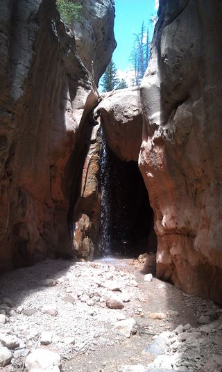 Lake Creek WaterfallIron County, UT15 miNE
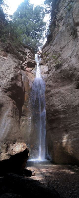 Rattlesnake Creek WaterfallNational forest trail route documented; long descent to a view from the top of the fallsIron County, UT15 miNE
- R2 - Bolted Rappel Anchor: 6 ft.Washington County, UT17 miS
- R3 - Keyhole Falls - Bolted Rappel Anchor: 10 ft.Washington County, UT17 miS
- Archangel FallsPartial guide: off-trail wilderness route; permit requiredWashington County, UT17 miS
- Toquerville FallsRough dirt road to BLM falls; short walk without four-wheel drive10 ft (3 m) · Washington County, UT17 miS
- Barrier FallsPartial guide: long off-trail creek route on a social trailWashington County, UT19 miSE
- Double FallsPartial guide: long off-trail creek route on a social trailWashington County, UT19 miS