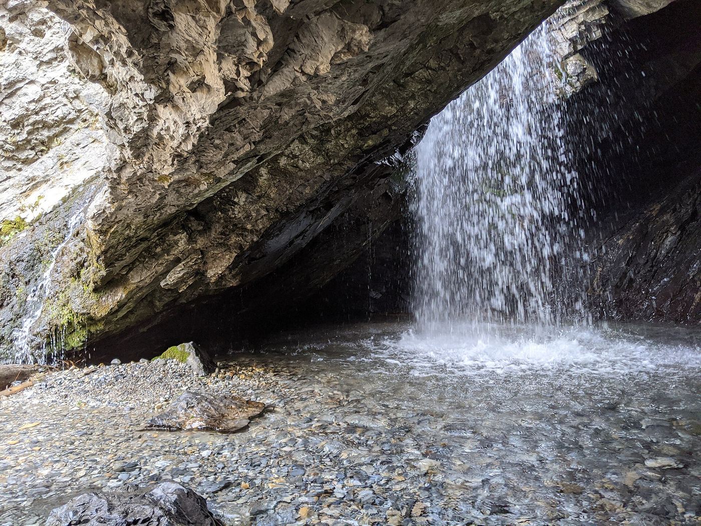
Waterfalls near Park City, UT
26 named waterfalls within 30 miles of Park City, closest first. Distances are straight-line from the town center.
Visits with route details
Read the walking route, starting point and current access notes.
 Donut FallsSummer parking and signed approach verified; winter gate changes the starting point.20 ft (6 m) · Salt Lake County, UT
- Moss Ledge WaterfallPartial guide: short unmaintained social trail with scramblingSalt Lake County, UT
- Gloria FallsResearched visit notesSalt Lake County, UT
- Hidden FallsResearched visit notesSalt Lake County, UT
- Lisa FallsRoute and parking researchedSalt Lake County, UT
- Upper Bells Canyon WaterfallSteep canyon trail from a signed trailhead; upper falls beyond the Lower Falls junctionSalt Lake County, UT
 Lower Bells Canyon WaterfallSteep canyon trail from a signed trailhead to a short spurSalt Lake County, UT
- Horsetail FallsResearched visit notesUtah County, UT
- Scout FallsNational forest trail route documented; recreation pass and weekend timed entryUtah County, UT
 Rocky Mouth Canyon WaterfallGuide: short trail from Wasatch BoulevardSalt Lake County, UT
- Stewart FallsVisitor route and trailhead documented; recreation fee at the Alpine Loop fee boothUtah County, UT
- Ghost FallsSigned Corner Canyon trails from a trailhead lot; shared with bikesSalt Lake County, UT
- Lost Creek FallsPartial guide: steep trail, unclear paths near the fallsUtah County, UT
- Upper FallsFirsthand trail guide; check current closuresUtah County, UT
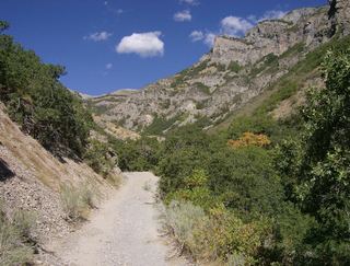 Grove Creek FallsPartial guide: trail to two waterfall viewpoints; which falls this listing marks is not confirmedUtah County, UT
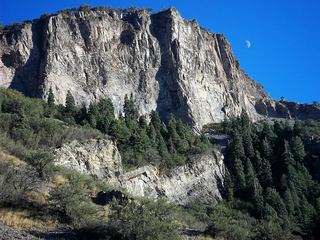 Battle Creek FallsPublished guidebook route and trailhead documentedUtah County, UT
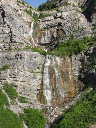 Bridal Veil FallsPaved park path and short trail to the base; also seen from the road607 ft (185 m) · Utah County, UT
- Smith Ditch Falls No.1Unsigned foothill trail from a canyon park; rockfall hazardUtah County, UT
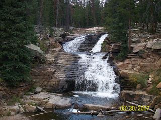 Upper Provo River FallsRoadside viewpoint at a signed highway parking area; recreation pass requiredSummit County, UT
- Middle Provo River FallsShort trail from a signed highway parking area; recreation pass requiredSummit County, UT
- Lower Provo River FallsShort trail from a signed highway parking area; recreation pass requiredSummit County, UT
Closest with a photo
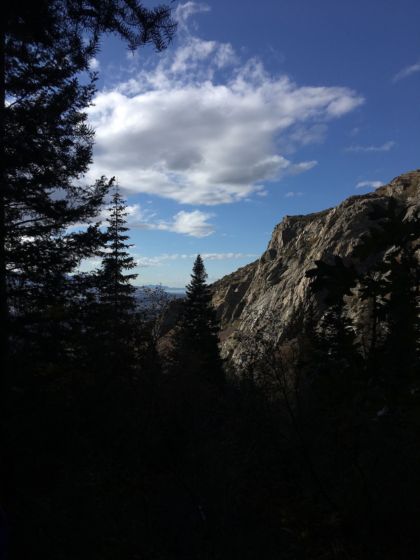
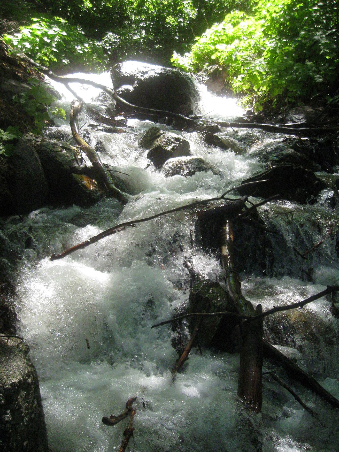
All 26 waterfalls
- Donut FallsSummer parking and signed approach verified; winter gate changes the starting point.20 ft (6 m) · Salt Lake County, UT8.3 miW
- Blackjack WaterfallSalt Lake County, UT9.2 miSW
- Moss Ledge WaterfallPartial guide: short unmaintained social trail with scramblingSalt Lake County, UT11 miW
- Gloria FallsResearched visit notesSalt Lake County, UT11 miSW
- Hidden FallsResearched visit notesSalt Lake County, UT12 miW
- Upper Lisa FallsSalt Lake County, UT13 miW
- Lisa FallsRoute and parking researchedSalt Lake County, UT13 miW
- Upper Bells Canyon WaterfallSteep canyon trail from a signed trailhead; upper falls beyond the Lower Falls junctionSalt Lake County, UT15 miSW
- Lower Bells Canyon WaterfallSteep canyon trail from a signed trailhead to a short spurSalt Lake County, UT15 miW
- Horsetail FallsResearched visit notesUtah County, UT16 miSW
- Scout FallsNational forest trail route documented; recreation pass and weekend timed entryUtah County, UT17 miSW
- Rocky Mouth Canyon WaterfallGuide: short trail from Wasatch BoulevardSalt Lake County, UT18 miSW
- Stewart FallsVisitor route and trailhead documented; recreation fee at the Alpine Loop fee boothUtah County, UT19 miS
- Ghost FallsSigned Corner Canyon trails from a trailhead lot; shared with bikesSalt Lake County, UT20 miSW
- Lost Creek FallsPartial guide: steep trail, unclear paths near the fallsUtah County, UT21 miS
- Upper FallsFirsthand trail guide; check current closuresUtah County, UT21 miS
- Grove Creek FallsPartial guide: trail to two waterfall viewpoints; which falls this listing marks is not confirmedUtah County, UT22 miSW
- Battle Creek FallsPublished guidebook route and trailhead documentedUtah County, UT22 miSW
- Bridal Veil FallsPaved park path and short trail to the base; also seen from the road607 ft (185 m) · Utah County, UT22 miS
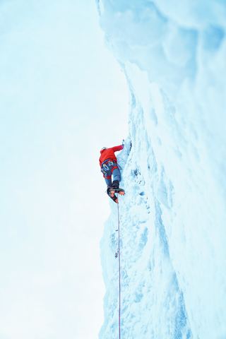 Upper Bridal Veil FallsUtah County, UT22 miS
- Smith Ditch Falls No. 2Utah County, UT23 miS
- Smith Ditch Falls No.1Unsigned foothill trail from a canyon park; rockfall hazardUtah County, UT23 miS
- Monet WaterfallUtah County, UT26 miSW
- Upper Provo River FallsRoadside viewpoint at a signed highway parking area; recreation pass requiredSummit County, UT29 miE
- Middle Provo River FallsShort trail from a signed highway parking area; recreation pass requiredSummit County, UT29 miE
- Lower Provo River FallsShort trail from a signed highway parking area; recreation pass requiredSummit County, UT29 miE