Double Falls
Utah County, Utah
Your visit at a glance
- Waterfall height
- Not recorded
- Location
- Utah County, Utah
- Access status
- Partial guide: unmarked user path with a rope descent
- The walk
- 1.0 mile round trip with 203 feet of gain, per Utah Hiking Beauty
- Ground & access
- Dirt and rock user path, a small stream crossing, then a steep, slippery descent to the falls using a rope that may not always be there. Wet rock near the falls is very slippery.
Double Falls is a two-tier waterfall on Wimmer Ranch Creek in Payson Canyon, with each tier about 20 feet high. The path is unmarked and is not a signed Forest Service trail. It starts at the Jones Ranch Trailhead on the Nebo Loop, between Grotto Falls and Payson Lakes. On the same side of the road as the parking area, walk back toward the primitive campground, where a small path enters the aspens. Cross a small stream right away, continue northeast through aspens and small meadows, then into pines and downhill to the creek at the top of the falls. Do not climb down there. Less than a minute back along the path, a side path descends steeply to the falls, where a rope may be in place. It reaches the middle ledge between the two tiers. The source says there is no safe way down to the base of the lower tier. This is a partial guide because the route is an unmarked user path and the rope is not maintained by the land manager.
Plan your visit
Jones Ranch Trailhead on the Nebo Loop in Payson Canyon, unmarked path from the primitive campground side through aspens, northeast and downhill to Wimmer Ranch Creek, then a steep side path with a rope down to the middle ledge of Double Falls
Utah Hiking Beauty gives 1.0 mile round trip, 203 feet of elevation gain and 30 to 60 minutes.
Dirt and rock user path, a small stream crossing, then a steep, slippery descent to the falls using a rope that may not always be there. Wet rock near the falls is very slippery.
Where to start
Parking area at the Jones Ranch Trailhead on the Nebo Loop Road in Payson Canyon. The signed Jones Ranch Trail starts on the opposite side of the road; the path to the falls does not. Restrooms are at Payson Lakes.
Timing & water
May to October, per Utah Hiking Beauty.
Before you go
Utah Hiking Beauty lists a 10-dollar day-use fee per car or a National Parks Pass. The Forest Service trail page read does not mention a fee at this trailhead.
Visitor informationVisit sources
More waterfalls nearby
Within 40 straight-line miles. Road and trail distances will differ.
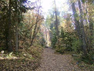 Grotto FallsForest Service trail and trailhead documentedUtah County, UT1.3 miW
- Salt Creek Canyon FallsNational forest trail from a campground gate; short side trailJuab County, UT11 miSW
- Ford FallsUtah County, UT11 miN
- DryfallPartial guide: dry fall on social trails at Red LedgesUtah County, UT16 miNE
- Smith Ditch Falls No.1Unsigned foothill trail from a canyon park; rockfall hazardUtah County, UT27 miN
- Smith Ditch Falls No. 2Utah County, UT27 miN
 Upper Bridal Veil FallsUtah County, UT27 miN
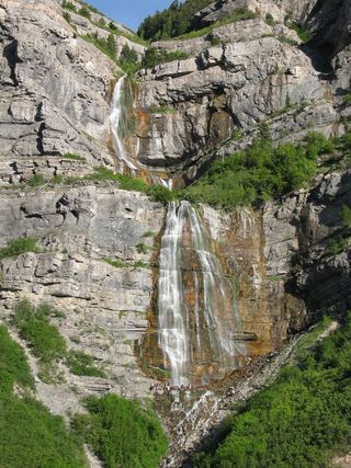 Bridal Veil FallsPaved park path and short trail to the base; also seen from the road607 ft (185 m) · Utah County, UT27 miN
- Upper FallsFirsthand trail guide; check current closuresUtah County, UT28 miN