Dryfall
Utah County, Utah
Your visit at a glance
- Waterfall height
- Not recorded
- Location
- Utah County, Utah
- Access status
- Partial guide: dry fall on social trails at Red Ledges
- The walk
- Short; the canyon guide lists the whole Red Ledges outing as less than 0.5 mile
- Ground & access
- Sandy, unmarked social trails. Scrambling and a short cliff band above the base.
This listing is a dry fall, a waterfall-shaped cliff, at the Red Ledges Picnic Area in Diamond Fork Canyon in Uinta-Wasatch-Cache National Forest. From the picnic area parking, sandy social trails head north up a wide valley among red cliffs. Going up the valley, the dry waterfall with a tree on top is on the right. You can walk to its base. Above the base, a fixed rope may help climbers up a 14-foot cliff band, and the top is used for rappelling: do not go higher without climbing skills. The paths are unmarked, so this is a partial guide. Return the same way.
Plan your visit
Red Ledges Picnic Area on Diamond Fork Road, then sandy social trails north up the valley to the base of the dry fall on the right
A canyon guide lists the Red Ledges outing as less than 0.5 mile and gives the dry fall as the last feature up the valley. No exact distance to the dry fall is given.
Sandy, unmarked social trails. Scrambling and a short cliff band above the base.
Where to start
Red Ledges Picnic Area, on the left 6.8 miles up Diamond Fork Road from Highway 6, with a large parking area, picnic tables and a pit toilet.
Timing & water
Any season, per the canyon guide.
Before you go
A canyon guide says there is a $10 Forest Service fee to use Red Ledges, or a National Park pass. No booking is needed.
Visitor informationVisit sources
More waterfalls nearby
Within 40 straight-line miles. Road and trail distances will differ.
- Ford FallsUtah County, UT12 miW
- Double FallsPartial guide: unmarked user path with a rope descentUtah County, UT16 miSW
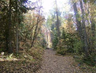 Grotto FallsForest Service trail and trailhead documentedUtah County, UT17 miSW
- Smith Ditch Falls No.1Unsigned foothill trail from a canyon park; rockfall hazardUtah County, UT20 miNW
- Smith Ditch Falls No. 2Utah County, UT20 miNW
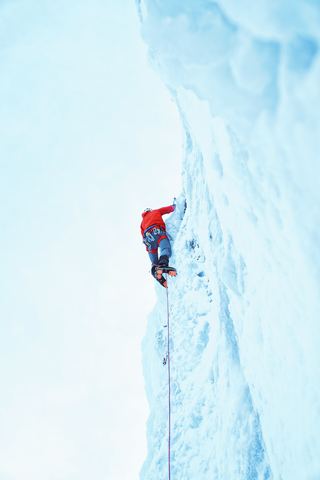 Upper Bridal Veil FallsUtah County, UT21 miNW
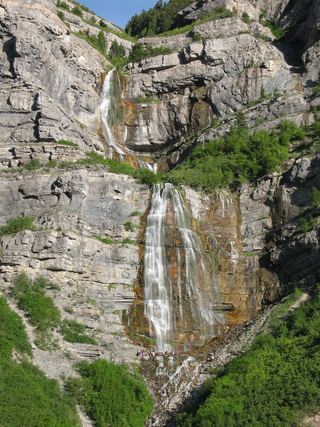 Bridal Veil FallsPaved park path and short trail to the base; also seen from the road607 ft (185 m) · Utah County, UT21 miNW
- Upper FallsFirsthand trail guide; check current closuresUtah County, UT21 miNW
- Lost Creek FallsPartial guide: steep trail, unclear paths near the fallsUtah County, UT22 miNW