Grotto Falls
Utah County, Utah
Your visit at a glance
- Waterfall height
- Not recorded
- Location
- Utah County, Utah
- Access status
- Forest Service trail and trailhead documented
- The walk
- 0.26 miles one way, per the Forest Service
- Ground & access
- Easy dirt trail with several stream crossings on small log bridges.
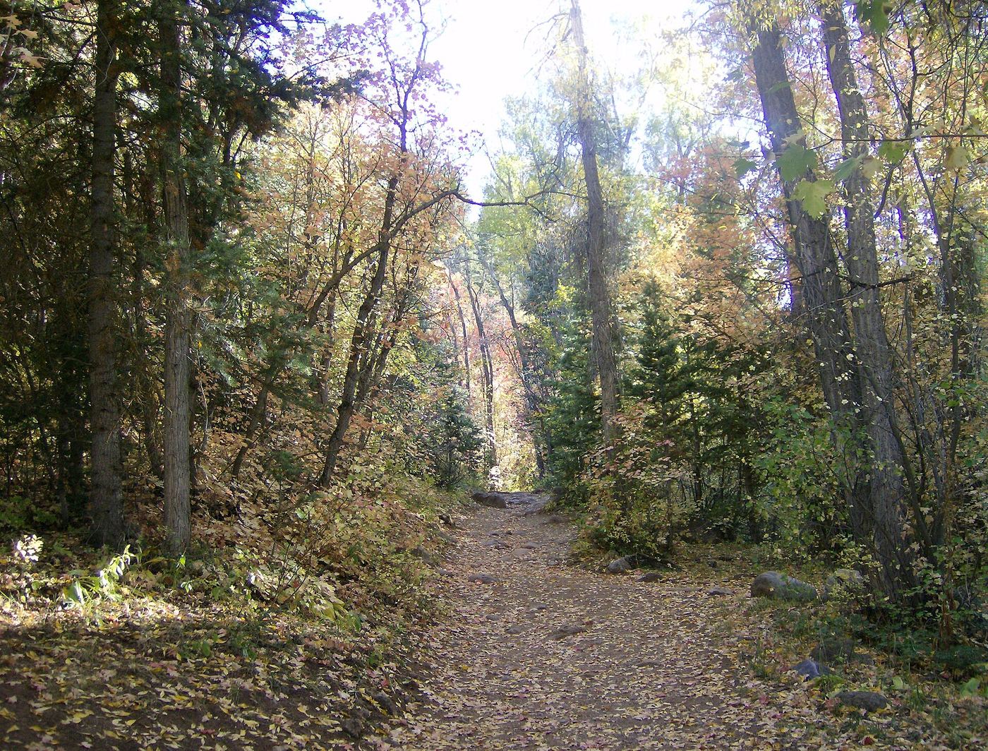
Grotto Falls is a waterfall nearly surrounded by rock, at the end of the Grotto Trail in the Uinta-Wasatch-Cache National Forest above Payson. The Forest Service calls it an easy, very popular family trail that follows a stream up to the falls and crosses the stream several times on small log bridges. Return the same way.
Plan your visit
Grotto Trail #086 trailhead on the Nebo Loop, just south of the Bennie Creek trailhead, trail up the stream to Grotto Falls
The Forest Service lists the Grotto Trail as 0.26 miles long, ending at the falls. Road Trip Ryan gives 0.7 mile for its route. Return the same way.
Easy dirt trail with several stream crossings on small log bridges.
Where to start
Grotto trailhead on the Mount Nebo Scenic Byway (Nebo Loop), 8 miles south of Payson City and just south of the Bennie Creek trailhead.
Timing & water
Road Trip Ryan lists spring through fall. In winter the road closure means a longer walk.
Before you go
No fee is mentioned.
Visitor informationMore waterfalls nearby
Within 40 straight-line miles. Road and trail distances will differ.
- Double FallsPartial guide: unmarked user path with a rope descentUtah County, UT1.3 miE
- Salt Creek Canyon FallsNational forest trail from a campground gate; short side trailJuab County, UT10 miS
- Ford FallsUtah County, UT11 miN
- DryfallPartial guide: dry fall on social trails at Red LedgesUtah County, UT17 miNE
- Smith Ditch Falls No.1Unsigned foothill trail from a canyon park; rockfall hazardUtah County, UT27 miN
- Smith Ditch Falls No. 2Utah County, UT27 miN
 Upper Bridal Veil FallsUtah County, UT27 miN
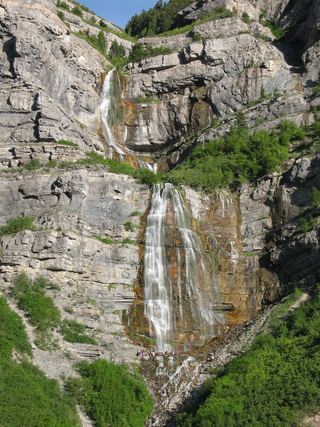 Bridal Veil FallsPaved park path and short trail to the base; also seen from the road607 ft (185 m) · Utah County, UT27 miN
- Upper FallsFirsthand trail guide; check current closuresUtah County, UT28 miN