Lower Calf Creek Falls
Garfield County, Utah
Your visit at a glance
- Waterfall height
- Not recorded
- Location
- Garfield County, Utah
- Access status
- Verified developed trail and recreation-area parking
- The walk
- 6 miles return
- Ground & access
- Sandy canyon trail with modest elevation change; sand and summer heat make the walk moderately difficult. Carry water and pack out solid human waste on the trail as BLM requires.
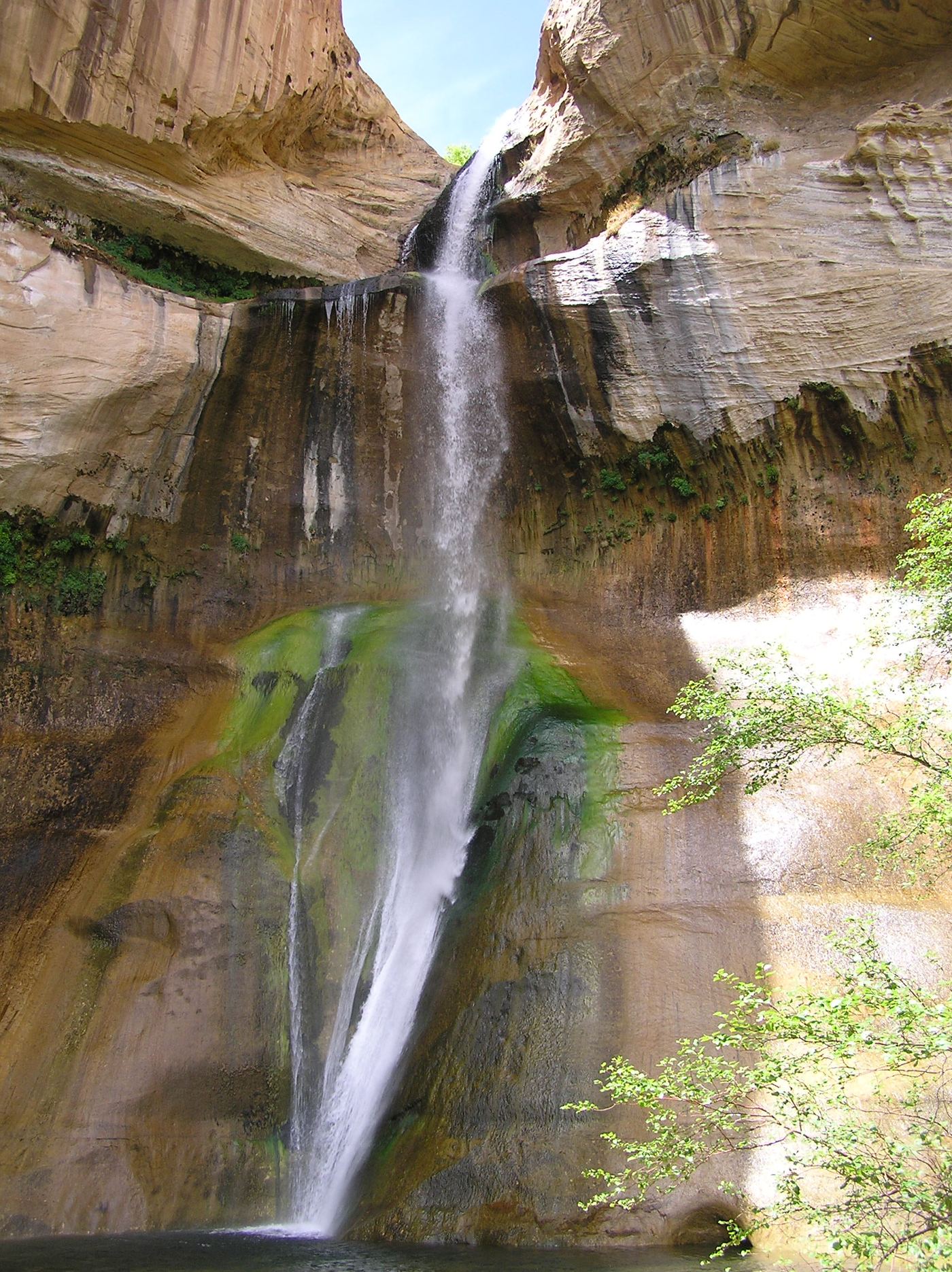
Start at the Calf Creek campground/recreation area off Highway 12 and follow the developed interpretive trail alongside Calf Creek to the lower waterfall. Return along the same trail.
Plan your visit
Calf Creek Recreation Area to Lower Calf Creek Falls
BLM's 6-mile round trip reaches Lower Calf Creek Falls. This is not the separate Upper Calf Creek Falls route.
Sandy canyon trail with modest elevation change; sand and summer heat make the walk moderately difficult. Carry water and pack out solid human waste on the trail as BLM requires.
Where to start
Use the Calf Creek Recreation Area trailhead parking associated with the campground on Highway 12, 15 miles east of Escalante. BLM's map identifies parking and restrooms; oversized vehicles are not accommodated in the campground.
Timing & water
BLM lists the campground open year-round and notes summer heat. Its current page carries a September 27, 2024 reopening notice; that dated notice is not a same-day trail inspection.
Before you go
BLM lists a $5 day-use fee per vehicle for hikers. No day-hike reservation requirement is stated.
Visitor informationMore waterfalls nearby
Within 40 straight-line miles. Road and trail distances will differ.
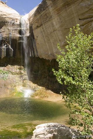 Upper Calf Creek FallState tourism route and trailhead documented; steep slickrockGarfield County, UT2.5 miNW
- Lower WaterfallPark route documented; creek walking, not a maintained trailWayne County, UT33 miN
- Middle WaterfallPartial guide: scrambling route, not a maintained trail; which of the three falls this listing marks is probable, not certainWayne County, UT33 miN
- Upper WaterfallPartial guide: unmaintained canyon route; listing probably marks the first fallsWayne County, UT33 miN
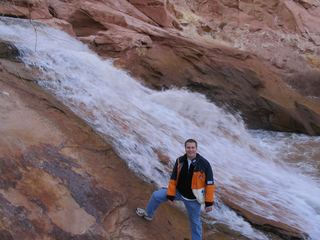 Fremont River WaterfallWayne County, UT35 miNE
- Swiss Cheese FallsPartial guide: long canyon walk; falls name not confirmed by a primary sourceKane County, UT36 miSE
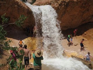 Tropic Ditch FallsShort park trail from the Mossy Cave TrailheadGarfield County, UT40 miW