Middle Waterfall
Wayne County, Utah
Your visit at a glance
- Waterfall height
- Not recorded
- Location
- Wayne County, Utah
- Access status
- Partial guide: scrambling route, not a maintained trail; which of the three falls this listing marks is probable, not certain
- The walk
- No single figure to this falls; park figures: trailhead to Sulphur Creek 1.8 miles, then 1.5 miles to the first falls, then 750 feet to the second
- Ground & access
- Wash and creek walking with downclimbs and scrambles of up to about 10 to 12 feet; shallow to deep water, sometimes swimming. Flash floods are a hazard; do not hike if rain is possible.
This listing appears to mark the middle of the three Sulphur Creek waterfalls in Capitol Reef National Park. The park describes the route downstream. From the paved pulloff, a short hiker-made trail leads over the hill into a small wash. Follow it 0.4 mile to a larger wash, bear right (south) and follow that wash 1.3 miles; downclimb two 6-foot pour-offs before Sulphur Creek. At the creek, turn left (east) and walk downstream past the view of the Goosenecks Overlook fence to the first falls. Pass it on the south side by crossing angled slickrock and scrambling down a 10-foot pitch. The second falls is 750 feet farther. It is also passed on the south side, under a large rock and down three short pitches. Most hikers continue downstream to the visitor center. The route is not an official, maintained trail.
Plan your visit
Sulphur Creek route from the upper parking pulloff on State Route 24 (west of Chimney Rock) down a wash and Sulphur Creek to the second (middle) waterfall
The National Park Service lists 1.8 miles from the trailhead to the Sulphur Creek confluence, 1.5 miles from the confluence to the first waterfall, and 750 feet from the first to the second waterfall. The full one-way route to the visitor center is 5.8 miles; without a second vehicle, add a 3.3-mile walk along Highway 24.
Wash and creek walking with downclimbs and scrambles of up to about 10 to 12 feet; shallow to deep water, sometimes swimming. Flash floods are a hazard; do not hike if rain is possible.
Where to start
Upper end: paved pulloff on Highway 24, 0.3 mile west of the Chimney Rock trailhead and 3.3 miles west of the visitor center. The park advises against parking at Chimney Rock. Lower end: gravel area on the north side of Highway 24 by the bridge over Sulphur Creek, across from the visitor center.
Timing & water
No season limits are stated. Ask at the visitor center for current conditions.
Before you go
No fee is mentioned. Free permits are required for backcountry camping.
Visitor informationVisit sources
More waterfalls nearby
Within 40 straight-line miles. Road and trail distances will differ.
- Upper WaterfallPartial guide: unmaintained canyon route; listing probably marks the first fallsWayne County, UT0.1 miW
- Lower WaterfallPark route documented; creek walking, not a maintained trailWayne County, UT1.1 miE
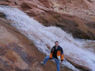 Fremont River WaterfallWayne County, UT7.0 miE
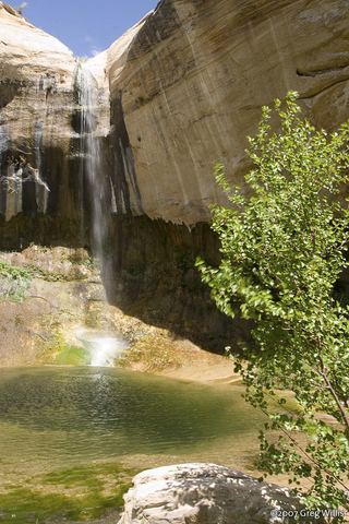 Upper Calf Creek FallState tourism route and trailhead documented; steep slickrockGarfield County, UT32 miS
- Scorpion FallsEmery County, UT32 miNE
- Bighorn FallsEmery County, UT32 miNE
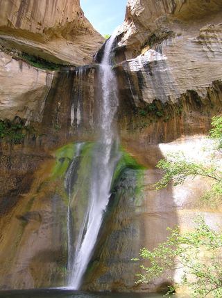 Lower Calf Creek FallsVerified developed trail and recreation-area parkingGarfield County, UT33 miS