Upper Calf Creek Fall
Garfield County, Utah
Your visit at a glance
- Waterfall height
- Not recorded
- Location
- Garfield County, Utah
- Access status
- State tourism route and trailhead documented; steep slickrock
- The walk
- 2 miles round trip (Visit Utah)
- Ground & access
- Visit Utah rates the hike hard, with Class 2 friction pitches just below the rim, a cairned slickrock route and boot-worn trails. The American Southwest gives an elevation change of 560 feet. Poison ivy grows near the base of the falls. Flash-flood danger in Calf Creek Canyon.
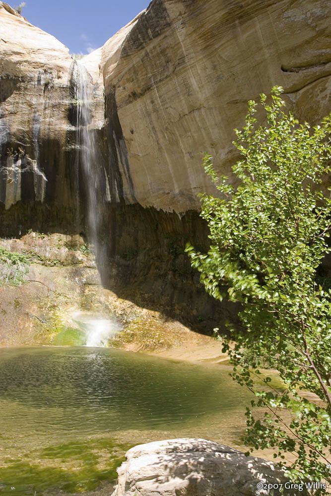
Upper Calf Creek Falls is an 87-foot waterfall in Grand Staircase-Escalante National Monument. From the trailhead on the rim of Calf Creek Canyon, follow cairns down a cleared swath over a steep slickrock friction pitch. About 300 feet below the rim, a sandy path descends gradually across a bench. Where the trail splits, the lower trail to the left descends over slickrock to the foot of the falls; the upper trail to the right goes up-canyon to the head of the falls and a small pool. Return by the same route, climbing back up the slickrock to the trailhead.
Plan your visit
Upper Calf Creek Falls Trailhead on the canyon rim off UT 12, cairned slickrock route down to a sandy path, then the lower trail to the foot of the falls
Visit Utah gives 2 miles round trip. The American Southwest gives just over 1 mile from the trailhead to the falls.
Visit Utah rates the hike hard, with Class 2 friction pitches just below the rim, a cairned slickrock route and boot-worn trails. The American Southwest gives an elevation change of 560 feet. Poison ivy grows near the base of the falls. Flash-flood danger in Calf Creek Canyon.
Where to start
Visit Utah says the unmarked spur road is about 20.5 miles north of Escalante and 7.4 miles southwest of Boulder on UT 12, on the north (left) side of the road between mile markers 80 and 81. The very rough, rocky road leads 0.1 mile to a parking area on the canyon rim. Low-clearance vehicles can use pullouts just off the highway.
Timing & water
Visit Utah lists the best seasons as April through early June and September through October. Leashed dogs are permitted but not recommended because of steep terrain near the falls.
Before you go
Visit Utah says permits are not required for day hikes. No fee is mentioned.
Visitor informationVisit sources
More waterfalls nearby
Within 40 straight-line miles. Road and trail distances will differ.
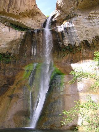 Lower Calf Creek FallsVerified developed trail and recreation-area parkingGarfield County, UT2.5 miSE
- Upper WaterfallPartial guide: unmaintained canyon route; listing probably marks the first fallsWayne County, UT32 miN
- Middle WaterfallPartial guide: scrambling route, not a maintained trail; which of the three falls this listing marks is probable, not certainWayne County, UT32 miN
- Lower WaterfallPark route documented; creek walking, not a maintained trailWayne County, UT32 miN
 Fremont River WaterfallWayne County, UT34 miNE
- Swiss Cheese FallsPartial guide: long canyon walk; falls name not confirmed by a primary sourceKane County, UT38 miSE
 Tropic Ditch FallsShort park trail from the Mossy Cave TrailheadGarfield County, UT38 miW