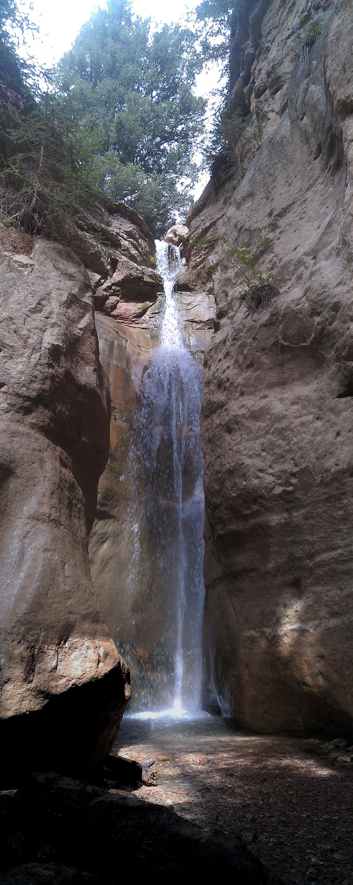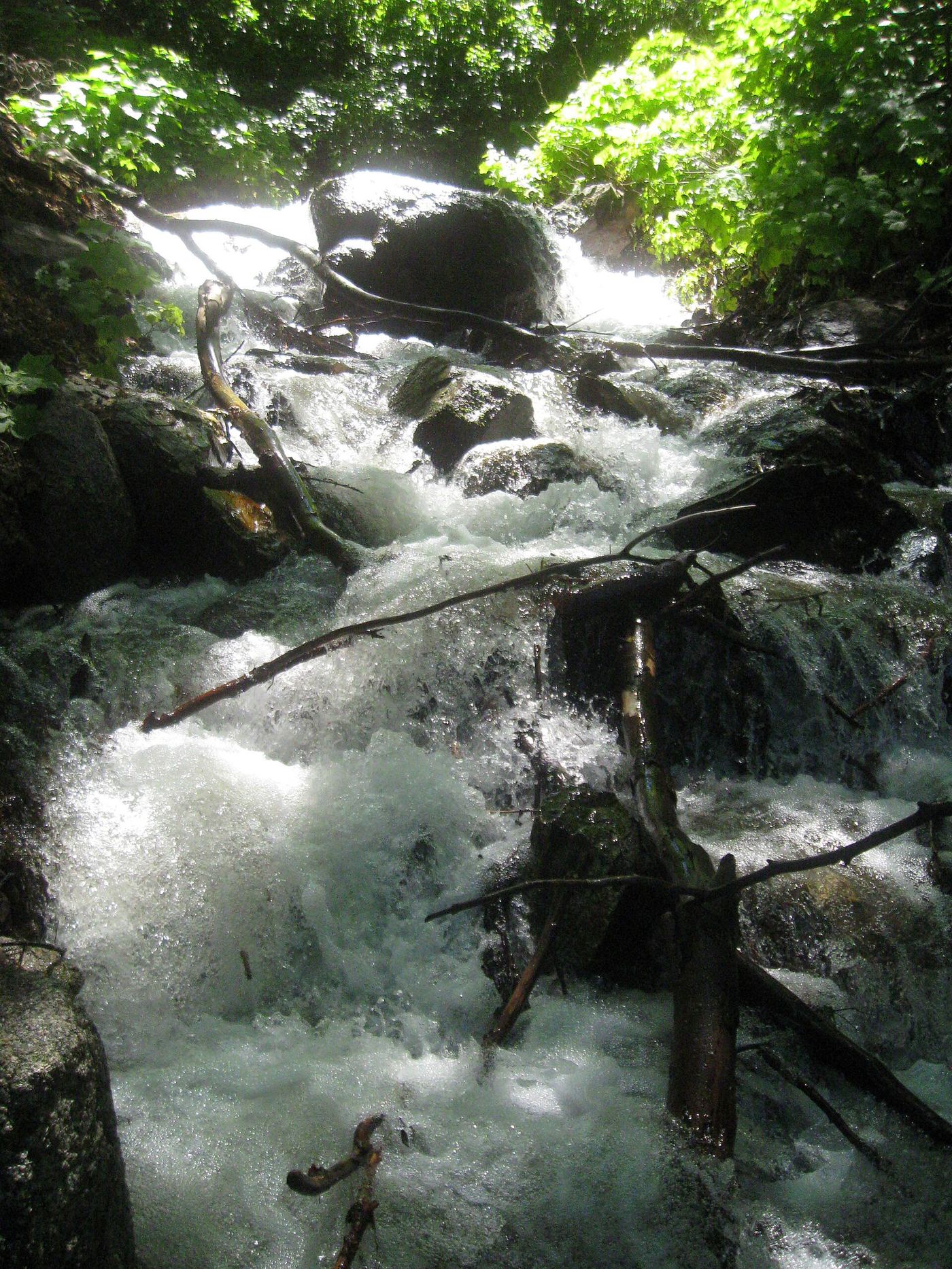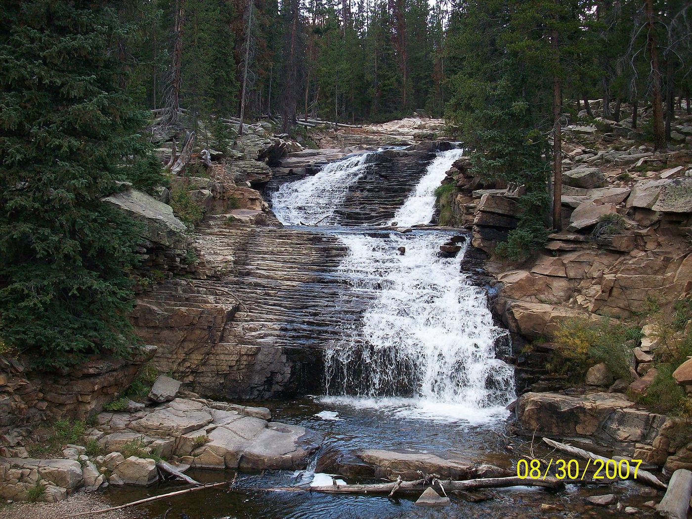
WaterfallNear Me

Utah waterfall visits

Compare 51 Utah waterfall visits by the approach, terrain, and where to start. Some routes have closures or unresolved details; read the individual guide before travelling.

51 visit options

Adams Canyon Lower Falls, UT

Visitor route and trailhead documented; steep switchbacks

Utah

Adams Canyon Lower Falls

About 1.2 miles round trip, per Road Trip Ryan; the side trail is about 0.3 mile from the junction

Lower Adams Canyon Falls is a falls of about 25 feet on a side trail of the Adams Canyon Trail near Layton and Fruit Heights. From the trailhead, the trail follows a fence line and climbs a series of about 11 switchbacks. Between about switchbacks 10 and 11 there is a bench, with major side trails on the right just before and just after it. Take the first side trail, before the bench. It descends a little, then winds up to the lower falls, about 0.3 mile from the junction. Return the same way. The main trail continues to the much longer hike to the upper falls.
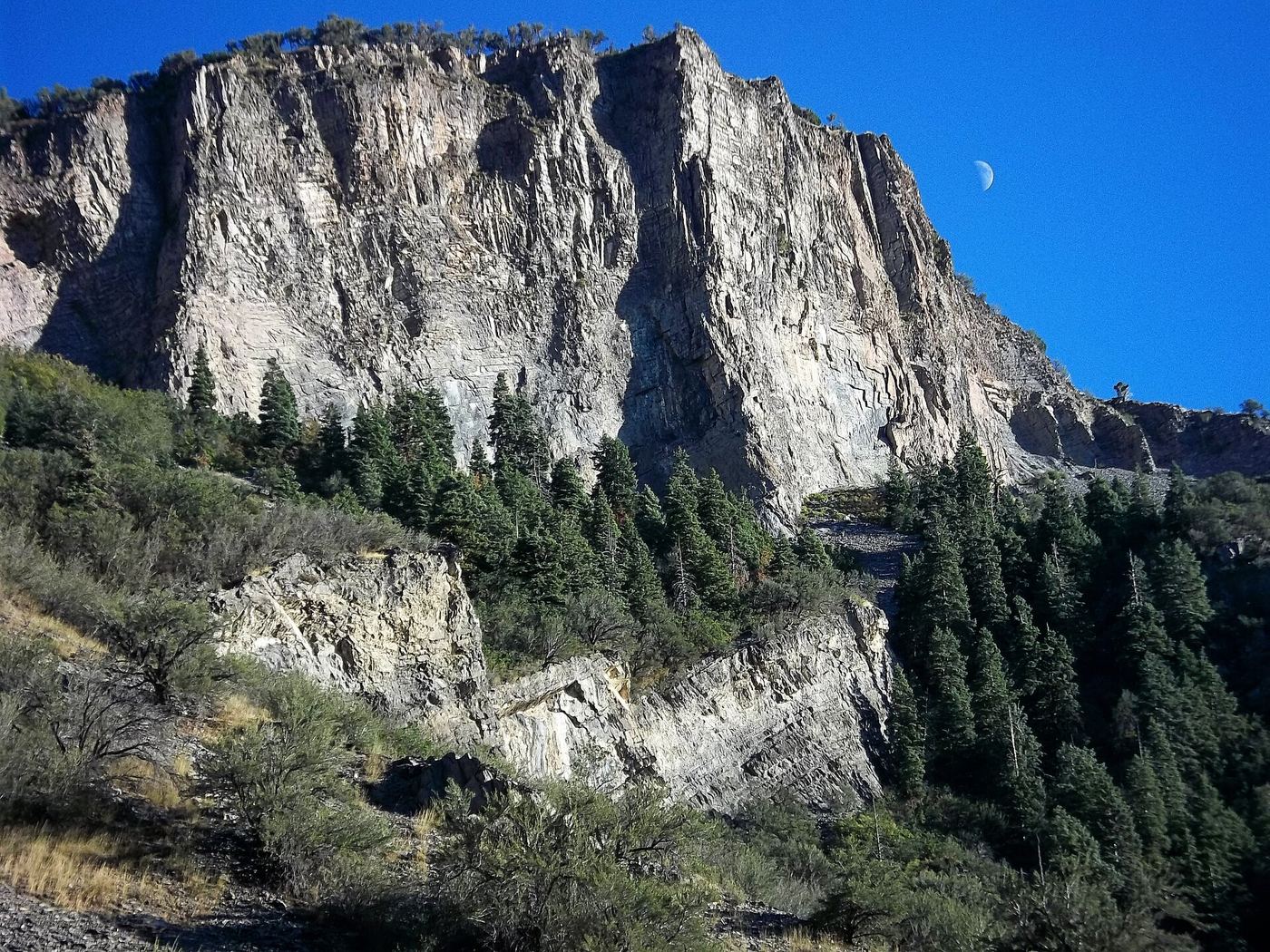
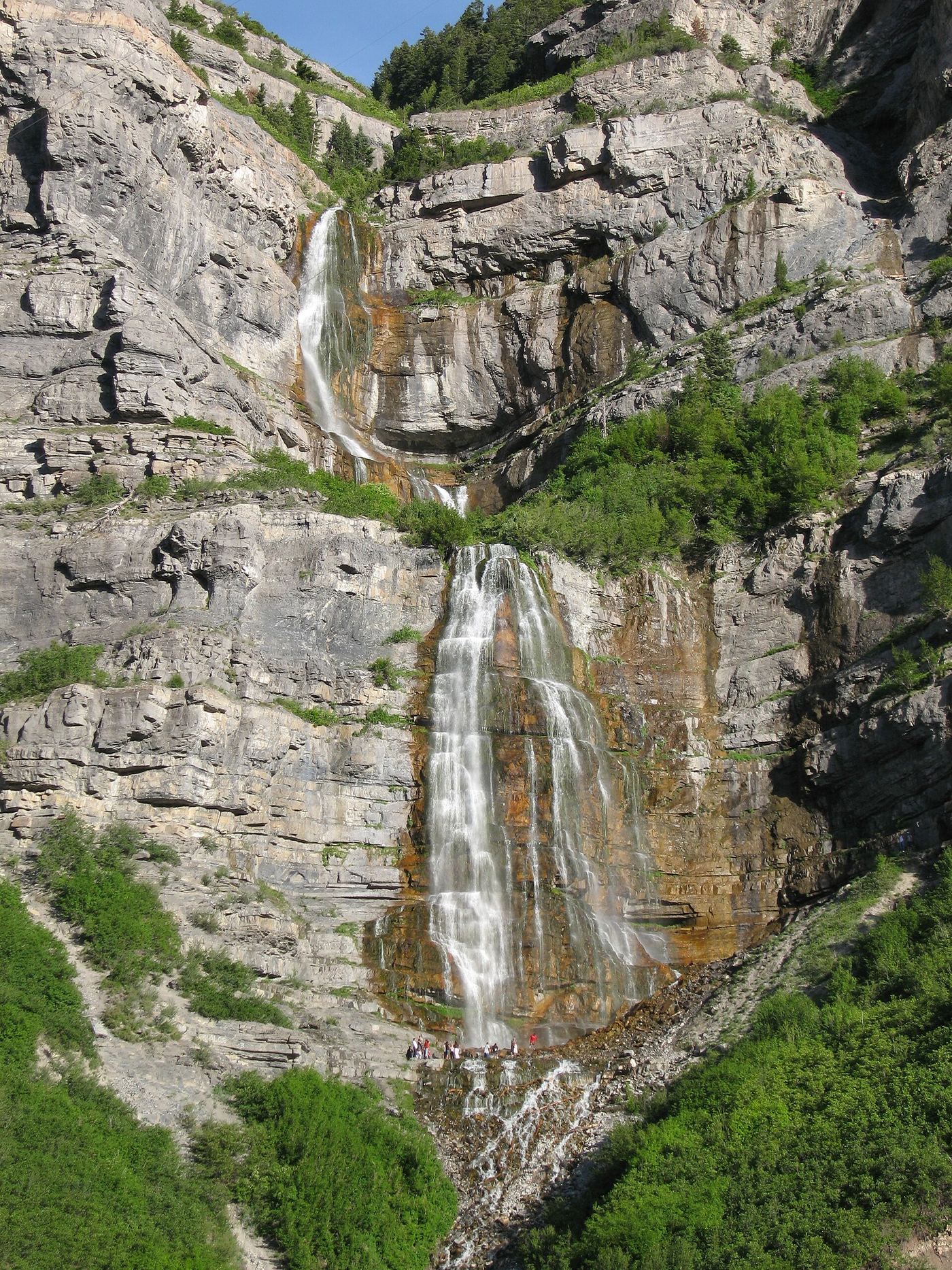
Photo creditPhoto: JacquesDemien, CC0, via Wikimedia Commons
Battle Creek Falls, UT

Published guidebook route and trailhead documented

Utah

Battle Creek Falls

1.6 miles round trip, per 60 Hikes Within 60 Miles: Salt Lake City

Battle Creek Falls is a 50-foot falls in Battle Creek Canyon on the west side of Mount Timpanogos, in the Uinta-Wasatch-Cache National Forest. From the parking area next to Kiwanis Park, walk toward the blue metal arch over the bridge into the park; the trailhead is up the steep slope on the right, just before the bridge. Follow the obvious trail into the canyon. It stays near the stream for most of the way and climbs onto a bench as it nears the falls. You can walk down to the base. Return the same way.

Photo creditPhoto: photophat, CC BY 3.0, via Wikimedia Commons
Bridal Veil Falls, UT

Paved park path and short trail to the base; also seen from the road

Utah

Bridal Veil Falls

Distance not stated

Bridal Veil Falls is a tall, tiered waterfall on the wall of Provo Canyon east of Orem. Take the Bridal Veil Falls exit from US 189. From the main parking lot, walk past the gate and follow the paved path through the park beside the Provo River. Past the shallow pool below the falls, a short trail heads up and to the right to the base of the falls. It is a little steep. Return the same way. The falls can also be seen from the highway and from a roadside lookout.

Photo creditPhoto: Mike Scalora, CC BY-SA 2.5, via Wikimedia Commons
Donut Falls, UT

Summer parking and signed approach verified; winter gate changes the starting point.

Utah

Donut Falls

Approximately 0.8 mile one way; 1.6 miles return

Visit Utah documents the short summer approach to the waterfall's circular rock formation.

Photo creditPhoto: Leijurv, CC BY-SA 4.0, via Wikimedia Commons
Faux Falls, UT

Short trail from a signed trailhead documented; rough dirt spur road

Utah

Faux Falls

About 200 yards each way, per Climb Utah

Faux Falls is a man-made waterfall near Moab: water from Mill Creek is diverted through a tunnel under Brimley Ridge and flows over the falls on its way to Kens Lake. From the Faux Falls Trailhead the falls are visible to the east. Follow the trail about 200 yards east to the base. The pool at the base is about three to four feet deep. Return the same way. If camping at Kens Lake Campground, a social trail also follows the creek from the campground to the falls.

Photo creditPhoto: Carter Pape, CC BY-SA 4.0, via Wikimedia Commons
Grotto Falls, UT

Forest Service trail and trailhead documented

Utah

Grotto Falls

0.26 miles one way, per the Forest Service

Grotto Falls is a waterfall nearly surrounded by rock, at the end of the Grotto Trail in the Uinta-Wasatch-Cache National Forest above Payson. The Forest Service calls it an easy, very popular family trail that follows a stream up to the falls and crosses the stream several times on small log bridges. Return the same way.

Photo creditPhoto: photophat, CC BY 3.0, via Wikimedia Commons
Grove Creek Falls, UT

Partial guide: trail to two waterfall viewpoints; which falls this listing marks is not confirmed

Utah

Grove Creek Falls

First waterfall viewpoint at 1.6 miles and second waterfall at about 2 miles from the trailhead, one way, per Trails Trekker; Deseret News gives 4.25 miles round trip to the upper waterfall

Grove Creek Canyon above Pleasant Grove has two waterfalls seen from the Grove Creek Trail. From the trailhead parking area, follow the dirt road until the trail splits off uphill, then climb switchbacks. The trail is exposed and runs along the steep side of the canyon, with ledges and drop-offs. The first waterfall is seen from a rock that juts into the canyon; the trail does not go close to it. The second, upper waterfall comes into view soon after, with a bench, and the trail passes near it but not to it. Return the same way. This is a partial guide because the sources do not say which of the two falls this listing marks.

Photo creditPhoto: photophat, CC BY 3.0, via Wikimedia Commons
Lower Bells Canyon Waterfall, UT

Steep canyon trail from a signed trailhead to a short spur

Utah

Lower Bells Canyon Waterfall

About 2 miles from the trailhead, per Road Trip Ryan

The Lower Bells Canyon Falls are on the creek in Bells Canyon above Sandy. Road Trip Ryan recommends the Preservation Trailhead: from the stoplight where Wasatch Boulevard meets Little Cottonwood Road, continue straight and take the first left, signed for the trailhead. Leave the east side of the upper parking lot and follow the trail over a ridge to the lower reservoir. Follow the left side of the reservoir on an old jeep road to a signed junction, and turn left onto the trail. Cross a bridge, enter the wilderness area and climb steeply. After a steep, rocky section and a small side stream, the main trail goes left about 4 minutes to the Lower Falls; the right branch goes on to the upper falls. Return the same way. People have been injured and killed slipping into the falls, so keep back from the edge.

Photo creditPhoto: JacquesDemien, CC0, via Wikimedia Commons
Lower Calf Creek Falls, UT

Verified developed trail and recreation-area parking

Utah

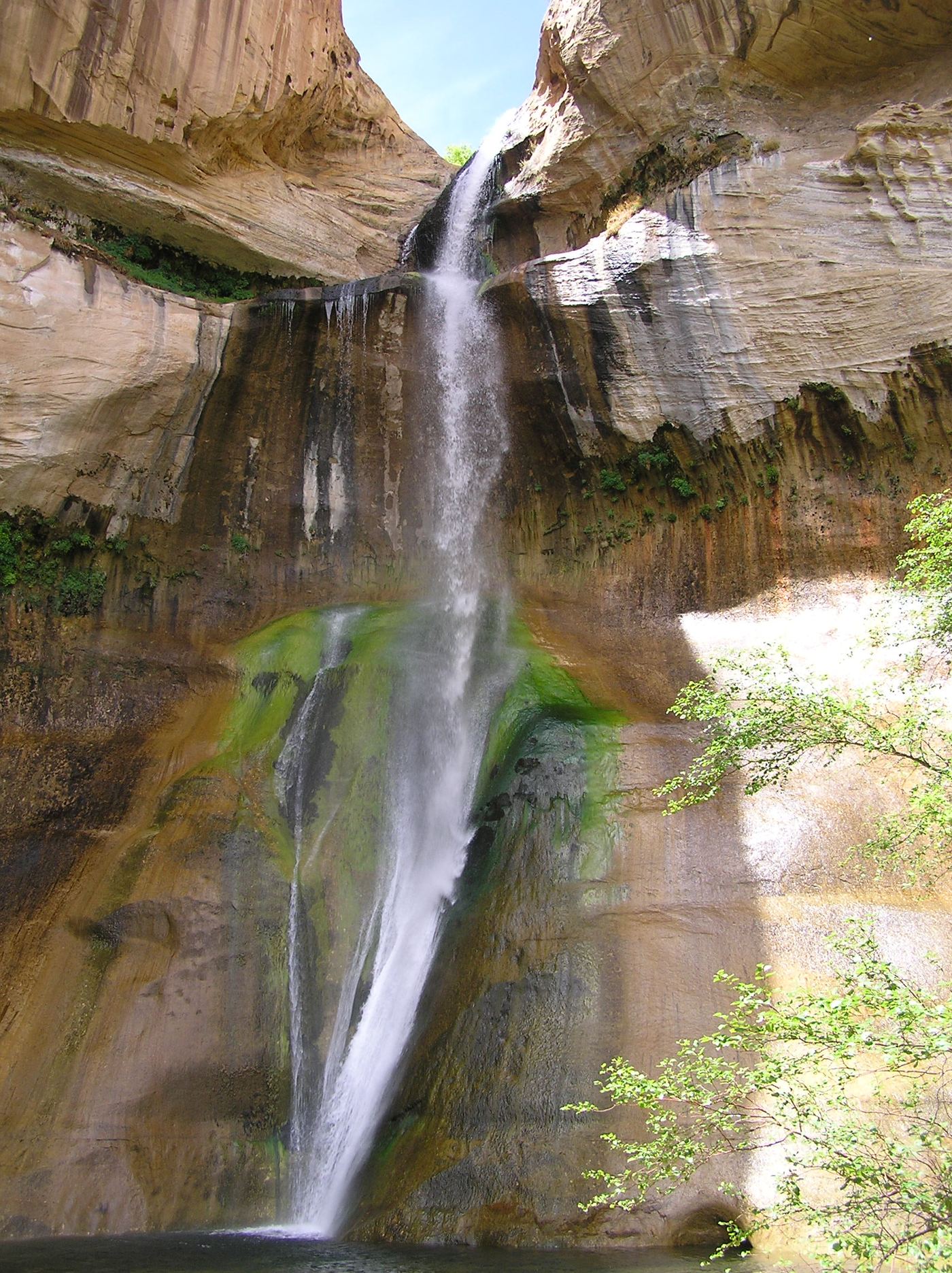
Lower Calf Creek Falls

6 miles return

Start at the Calf Creek campground/recreation area off Highway 12 and follow the developed interpretive trail alongside Calf Creek to the lower waterfall. Return along the same trail.

Photo creditPhoto: Scott Catron, CC BY 2.5, via Wikimedia Commons
Lower Kanarra Falls, UT

Partial guide: permit hike documented; which drop this listing marks is not confirmed

Utah

Lower Kanarra Falls

First large waterfall at 1.6 miles, per the Town of Kanarraville's Kanarra Falls site; the site lists the full hike as 4 miles round trip

Kanarra Creek runs through a sandstone slot canyon above Kanarraville, with three waterfalls. The hike is managed by the Town of Kanarraville on state trust land, and a paid permit is required. From the trailhead lot, the trail follows an old access road for 0.8 mile into the Hurricane Cliffs, crossing the stream several times. Where the road ends, the trail narrows near the town spring and alternates between walking in the creek and on the bank. The first large waterfall is at 1.6 miles. To go farther you must climb a 20-foot ladder, and the trail is not maintained beyond it. This listing appears to be that first waterfall, but the sources do not say which drop is called Lower Kanarra Falls. Return the same way. The site says not to go beyond the final waterfall at 1.9 miles because the land past it is private.

Photo creditPhoto: The Dye Clan, CC BY-SA 3.0, via Wikimedia Commons
Lower Pine Creek Waterfall, UT

Partial guide: unsigned social trail with boulder-hopping

Utah

Lower Pine Creek Waterfall

About 0.8 mile round trip, per a Zion hiking guide

Lower Pine Creek Falls is a small waterfall, about 10 to 15 feet tall, with a shallow pool, in Lower Pine Creek in Zion National Park. The park does not sign or advertise this walk. Drive east from Canyon Junction on Route 9 toward the Zion-Mount Carmel Tunnel and park on the wide shoulder before the Pine Creek Bridge at the first switchback. Follow the well-worn path east into the canyon. Near the end you boulder-hop, scramble a little and may wade to reach the falls. Stay on the established path and respect any signs closing side areas. Dogs are not allowed. Do not go if rain is possible: this is a flash-flood canyon. Return the same way.

Photo creditPhoto: Fredlyfish4, CC BY-SA 4.0, via Wikimedia Commons
Rattlesnake Creek Waterfall, UT

National forest trail route documented; long descent to a view from the top of the falls

Utah

Rattlesnake Creek Waterfall

About 4.7 miles to Rattlesnake Creek, then 1.5 miles to the High Mountain Trail junction, then a few minutes down the creek, all one way, per Road Trip Ryan

Rattlesnake Creek Falls is on Rattlesnake Creek above Ashdown Gorge, below the north rim of Cedar Breaks National Monument. From the Rattlesnake Creek Trailhead, the trail follows a fence, passes two short side trails to Cedar Breaks overlooks at about 0.6 and 0.8 miles, then switchbacks down to Rattlesnake Creek at about 4.7 miles. It crosses the creek once and follows the west bank for 1.5 miles to the High Mountain Trail junction. Go left to reach the creek, then walk a few minutes down the creek to overlook the falls from the top. A small falls on the way can be passed with a little scrambling on the left or without scrambling on the right. Return the same way, a long climb back to the trailhead, or arrange a shuttle and continue through Ashdown Gorge to UT-14. Do not go near the edge at the top of the falls.

Photo creditPhoto: The Dye Clan, CC BY-SA 3.0, via Wikimedia Commons
Rocky Mouth Canyon Waterfall, UT

Guide: short trail from Wasatch Boulevard

Utah

Rocky Mouth Canyon Waterfall

About 1 mile round trip, per a hiking blog

Rocky Mouth Falls is a spring-fed waterfall at the mouth of Rocky Mouth Canyon above Sandy, in Salt Lake County. Park in the small signed trailhead lot on the east side of Wasatch Boulevard, across from a church. Climb the stairs to a residential street, turn right as the sign directs, and walk up the sidewalk past several homes to more trail signs and a path between two homes. The path climbs, then levels off to the falls. You may no longer park on Eagle View Drive, and signs at the upper trail entrance say there is no trailhead parking. The first half of the walk goes through a neighborhood, so respect the homes. Dogs are not allowed because the canyon is watershed. Return the same way.

Photo creditPhoto: The Dye Clan, CC BY-SA 3.0, via Wikimedia Commons
Tropic Ditch Falls, UT

Short park trail from the Mossy Cave Trailhead

Utah

Tropic Ditch Falls

Junction at about 0.3 miles, then about 0.1 miles to the falls, per Noah Lang

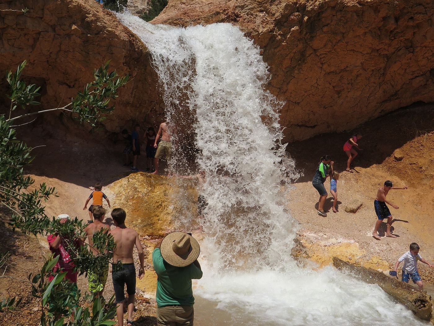
Tropic Ditch Falls is a small waterfall on the Tropic Ditch, an irrigation canal that runs through Water Canyon in the northern part of Bryce Canyon National Park. From the Mossy Cave Trailhead, follow the Mossy Cave Trail up the canyon. At the junction, one path goes to Mossy Cave and the other goes straight to Tropic Ditch Falls. The falls are the end of the maintained trail. Return the same way. A path continues upstream but fades, and Noah Lang recommends going past the falls only with off-trail experience.

Photo creditPhoto: Ken Lund from Reno, Nevada, USA, CC BY-SA 2.0, via Wikimedia Commons
Upper Calf Creek Fall, UT

State tourism route and trailhead documented; steep slickrock

Utah

Upper Calf Creek Fall

2 miles round trip (Visit Utah)

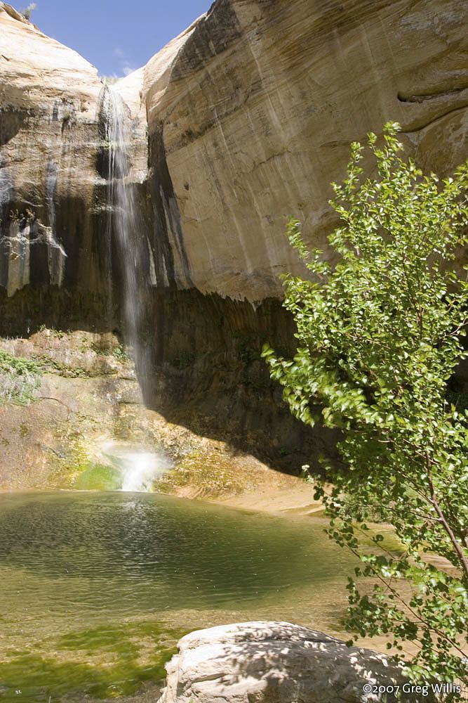
Upper Calf Creek Falls is an 87-foot waterfall in Grand Staircase-Escalante National Monument. From the trailhead on the rim of Calf Creek Canyon, follow cairns down a cleared swath over a steep slickrock friction pitch. About 300 feet below the rim, a sandy path descends gradually across a bench. Where the trail splits, the lower trail to the left descends over slickrock to the foot of the falls; the upper trail to the right goes up-canyon to the head of the falls and a small pool. Return by the same route, climbing back up the slickrock to the trailhead.

Photo creditPhoto: Greg Willis from Denver, CO, usa, CC BY-SA 2.0, via Wikimedia Commons
Upper Provo River Falls, UT

Roadside viewpoint at a signed highway parking area; recreation pass required

Utah

Upper Provo River Falls

Climb-Utah says the vantage spots are about a hundred feet east of the parking area

The upper falls is the first of three main drops of the Provo River at the Provo River Falls stop on the Mirror Lake Highway in the Uinta Mountains. It can be seen from the parking lot. A short improved trail leads about a hundred feet east to several viewpoints along the river. Random Rambler says a third tier of the upper falls is only visible if you walk down a little way. The trail continues downstream to the middle and lower falls, which have their own listings. Return the same way.

Photo creditPhoto: nick thornton, CC BY-SA 3.0, via Wikimedia Commons

Partial guide: likely the Mary Jane Canyon falls; name not confirmed

Utah

"Slytherin Falls"

About 4 miles one way; Hiking Project lists 8.2 miles out and back

This listing is probably the 30-foot waterfall at the end of Mary Jane Canyon, on the Professor Creek route northeast of Moab on BLM land. No source confirms that the name Slytherin Falls means the same falls, so treat the identity as likely, not certain. From Highway 128, a ranch road that is BLM Road 98 runs about 2 miles to its end at the trailhead. There are no signs for Mary Jane Canyon: take the unsigned trail to the left (not the Sylvester Trail) and follow Professor Creek upstream, crossing it many times. Near the 4-mile mark the canyon narrows and the waterfall ends the hike. There is no overlook; you must walk into the water to see the falls. Return the same way.

Location map; no photo available.

Permit hike up a creek and slot canyon past the first falls; ladder and scramble

Utah

2nd Falls End of Hike

About 3.7 miles round trip to the second waterfall, per Girl on a Hike

This listing is the second waterfall in the Kanarra Creek slot canyon above Kanarraville, the usual end of the hike for people without technical gear. A permit is required. From the parking lot, go through the hiker's gate and follow the old access road about 0.8 miles up into the canyon, crossing the stream several times. Where the road ends by the water well, continue up the creek, mostly walking in the water. The canyon narrows into a slot and reaches Kanarra Falls, the first waterfall, which has a ladder or staircase beside it; floods have changed this spot over the years. Above it, scramble up next to the falls and continue upstream to the second waterfall. Girl on a Hike says going beyond the second falls without technical gear is unsafe. Return the same way.

Location map; no photo available.

Visitor route and trailhead documented; steep canyon trail

Utah

Adams Canyon Waterfall

About 4 miles round trip with over 1,000 feet of gain, per Road Trip Ryan; its map line for the upper falls is 3.90 miles

The upper Adams Canyon falls is a 40-foot waterfall in Adams Canyon above Layton and Fruit Heights. From the trailhead, the trail follows a fence line and climbs about 11 switchbacks. Stay left on the main path past the bench and the side trails to the lower falls. At the top of the switchbacks, turn right onto the Bonneville Shoreline Trail as it contours into Adams Canyon. About 0.75 miles from the trailhead, where the Bonneville Shoreline Trail turns right across a bridge, go straight up the canyon bottom instead. Past a log bridge the trail has steep, rocky sections and braided side paths; stay on the main trail up the canyon to the falls. Return the same way. The smaller lower falls has its own listing.

Location map; no photo available.

Partial guide: off-trail wilderness route; permit required

Utah

Archangel Falls

About 3.25 miles one way, per a photography guide

Archangel Falls is a series of stepped red cascades in the Left Fork of North Creek in Zion National Park, a few hundred yards below the Subway. Every hiker needs a wilderness permit for the Left Fork. From the Left Fork Trailhead on Kolob Terrace Road, a fairly flat half-mile walk leads to the rim, then a very steep trail drops about 400 feet into the canyon. Upstream there is no trail: this is an off-trail wilderness route with boulder scrambling and many creek crossings, and hikers get lost here every year, so carry a topographic map and a good route description. Pets are not allowed. Return the same way, including the steep climb out.

Location map; no photo available.

Partial guide: long off-trail creek route on a social trail

Utah

Barrier Falls

A quarter mile or so past Double Falls, which is about 4.3 miles from the Right/Left Fork confluence, per Road Trip Ryan; its whole route is a 10-mile round trip

Barrier Falls blocks upstream travel in the Right Fork of North Creek in Zion National Park and is the end point for hikers. From the Right Fork Trailhead, follow the trail southeast to the canyon rim and carefully descend through lava cliffs to North Creek. Note where the trail climbs back to the rim, because it is hard to find on the way out. Turn left (upstream) along North Creek to where the Right Fork comes in, and take the right fork east. Follow the social trail and the stream bed upstream for several hours, crossing the creek often, to Double Falls. A trail on the right goes around Double Falls to the next waterfall and then to Barrier Falls. Getting past Barrier Falls needs technical rock climbing on bad rock and is not recommended. Return the same way.

Location map; no photo available.

Source-reviewed route and parking

Utah

Cascade Falls

Approximately 1.3 miles return

Grand Canyon Trust describes following the cliff-side trail to stairs and a final waterfall lookout, then returning the same way. Do not enter the cave system.

Location map; no photo available.

Partial guide: long off-trail creek route on a social trail

Utah

Double Falls

About 4.3 miles from the Right/Left Fork confluence to Double Falls, per Road Trip Ryan; its whole route is about 10 to 11 miles round trip

Double Falls is a double waterfall jetting into a pool in the Right Fork of North Creek in Zion National Park. From the Right Fork Trailhead, follow the trail southeast to the canyon rim and carefully descend through lava cliffs to North Creek. Note where the trail climbs back to the rim, because it is hard to find on the way out. Turn left (upstream) along North Creek to where the Right Fork comes in, and take the right fork east. Follow the social trail and the stream bed upstream for several hours, crossing the creek often. As the canyon narrows, you reach Double Falls. Barrier Falls is about a quarter mile farther and blocks hikers. Return the same way. There is no maintained trail in the Right Fork.

Location map; no photo available.

Partial guide: unmarked user path with a rope descent

Utah

Double Falls

1.0 mile round trip with 203 feet of gain, per Utah Hiking Beauty

Double Falls is a two-tier waterfall on Wimmer Ranch Creek in Payson Canyon, with each tier about 20 feet high. The path is unmarked and is not a signed Forest Service trail. It starts at the Jones Ranch Trailhead on the Nebo Loop, between Grotto Falls and Payson Lakes. On the same side of the road as the parking area, walk back toward the primitive campground, where a small path enters the aspens. Cross a small stream right away, continue northeast through aspens and small meadows, then into pines and downhill to the creek at the top of the falls. Do not climb down there. Less than a minute back along the path, a side path descends steeply to the falls, where a rope may be in place. It reaches the middle ledge between the two tiers. The source says there is no safe way down to the base of the lower tier. This is a partial guide because the route is an unmarked user path and the rope is not maintained by the land manager.

Location map; no photo available.

Partial guide: dry fall on social trails at Red Ledges

Utah

Dryfall

Short; the canyon guide lists the whole Red Ledges outing as less than 0.5 mile

This listing is a dry fall, a waterfall-shaped cliff, at the Red Ledges Picnic Area in Diamond Fork Canyon in Uinta-Wasatch-Cache National Forest. From the picnic area parking, sandy social trails head north up a wide valley among red cliffs. Going up the valley, the dry waterfall with a tree on top is on the right. You can walk to its base. Above the base, a fixed rope may help climbers up a 14-foot cliff band, and the top is used for rappelling: do not go higher without climbing skills. The paths are unmarked, so this is a partial guide. Return the same way.

Location map; no photo available.

Signed Corner Canyon trails from a trailhead lot; shared with bikes

Utah

Ghost Falls

About 1.5 miles to the waterfall, per Random Rambler

Ghost Falls is a small waterfall where a spring-fed creek drops over a limestone outcrop just off the Ghost Falls trail in Corner Canyon, Draper. Random Rambler starts at the Coyote Hollow Trailhead at the end of Coyote Hollow Court and follows the Corner Canyon trails uphill to the signed turnoffs for Ghost Falls. Bridge number 5 crosses the creek at the base of the falls. The upper end of the Ghost Falls trail also has a trailhead on Corner Canyon Road. Return the same way. These trails are shared with mountain bikers.

Location map; no photo available.

Partial guide: roadside falls; parking spot not stated

Utah

Indian Creek Fall

No walking distance is given; a visitor site places the falls where Lockhart Basin Road crosses Indian Creek

Indian Creek Fall is a small waterfall with a deep plunge pool on Indian Creek in the Indian Creek Corridor of San Juan County, near the Needles District of Canyonlands National Park. A visitor site says the falls are where the Lockhart Basin Road crosses the creek. From US 191, take Highway 211 west about 23 miles, then turn north toward Lockhart Basin and Hamburger Rock Campground. The BLM group campsite named for the falls is on this road. Sources do not name a public parking spot at the crossing, so this is a partial guide. The flow drops at times because an upstream ranch uses the creek for irrigation.

Location map; no photo available.

Route and parking researched

Utah

Lisa Falls

0.2 miles return

From the north-side Lisa Falls trailhead, follow the short rocky path to the lower falls and return the same way.

Location map; no photo available.

Partial guide: rough 4x4 road to the base; walking distance not confirmed

Utah

Little Deer Creek Falls

No walking distance is given. Red Rock Adventure says the road is fine for any vehicle until about three miles from the waterfall; that is a road distance on the rough section, which some people walk

Little Deer Creek, a tributary of the Duchesne River in the Uinta Mountains, has several waterfalls; this listing is the main one, at the edge of Cataract Gorge. From Highway 150 east of Kamas, turn east on the Murdock Basin Road (Forest Road 137), then east again on Forest Road 027. Follow it down to the East Portal reservoir and along the reservoir to the base of the main waterfall. The last part of the road is narrow and extremely rocky, with large rocks and deep holes, and needs high-clearance four-wheel drive; some visitors park where the rough section starts and walk the road instead. Map apps may route you to a point above the falls, and climbing down the stream from there is possible but arduous. This is a partial guide because the walking distance and the land manager's rules for this road are not confirmed by an official source.

Location map; no photo available.

Partial guide: steep trail, unclear paths near the falls

Utah

Lost Creek Falls

About 1.2 miles one way, per a hiking blog

Lost Creek Falls is a multi-tiered cascade on the north side of Provo Canyon, across from Bridal Veil Falls. From the Nunn's Park parking area, walk up the Great Western Trail to a wider dirt road and turn right (north). Follow the road until a trail turns off steeply to the left near a pump house and utility boxes, and climb that trail into Lost Creek canyon. The trail is clear at first, but after it meets the creek it becomes rocky and less clear, with paths on either side of the creek. Sources do not name the land manager, and the upper path is unclear, so this is a partial guide. Return the same way, with care on the steep descent.

Location map; no photo available.

Short trail from a signed highway parking area; recreation pass required

Utah

Lower Provo River Falls

Distance not stated

The lower falls is the last of three main drops of the Provo River at the Provo River Falls stop on the Mirror Lake Highway in the Uinta Mountains. From the parking area, a trail goes down to the upper falls, which can be seen from the lot, then continues downstream past cascades and the middle falls to the lower falls. Random Rambler notes there is a paved trail, though many visitors scramble down the rocks. Return the same way. Visit Utah says visitors can swim and wade in the lower pools of the falls.

Location map; no photo available.

Park route documented; creek walking, not a maintained trail

Utah

Lower Waterfall

0.7 mile upstream from the visitor center, per the National Park Service

Sulphur Creek has three small waterfalls in Capitol Reef National Park. The lowest, about eight feet high, is the one closest to the visitor center. For a short hike, start at the visitor center and follow Sulphur Creek upstream about 0.7 mile to this waterfall. The lower part of the route passes an old lime kiln built by early residents of Fruita; do not climb on or in the kiln. Return the same way. The route is not an official, maintained trail and usually involves walking in shallow water.

Location map; no photo available.

Guide: road walk from Big Bend to a viewing deck

Utah

Menu Falls

.6 mile one way from Big Bend, per a Zion hiking guide

Menu Falls is a small seep and waterfall, about ten feet tall, in a forested alcove on the east side of the Zion Canyon Scenic Drive between the Big Bend and Temple of Sinawava shuttle stops. It is named for a picture once used on the Zion Lodge menu. There is no stop at the falls and no sign. Get off the shuttle at Big Bend and walk north along the road, then look to the right (east) for a short path to a wooden viewing deck. You can also walk south along the road from the Temple of Sinawava. Step aside for vehicles, especially shuttle buses. Return the same way or continue to the next stop.

Location map; no photo available.

Short trail from a signed highway parking area; recreation pass required

Utah

Middle Provo River Falls

Distance not stated

The middle falls is the second of three main drops of the Provo River at the Provo River Falls stop on the Mirror Lake Highway in the Uinta Mountains. From the parking area, a trail goes down to the upper falls, which can be seen from the lot, then continues downstream past cascades to the middle falls. The lower falls is a little farther downstream. Random Rambler notes there is a paved trail, though many visitors scramble down the rocks. Return the same way.

Location map; no photo available.

Partial guide: scrambling route, not a maintained trail; which of the three falls this listing marks is probable, not certain

Utah

Middle Waterfall

No single figure to this falls; park figures: trailhead to Sulphur Creek 1.8 miles, then 1.5 miles to the first falls, then 750 feet to the second

This listing appears to mark the middle of the three Sulphur Creek waterfalls in Capitol Reef National Park. The park describes the route downstream. From the paved pulloff, a short hiker-made trail leads over the hill into a small wash. Follow it 0.4 mile to a larger wash, bear right (south) and follow that wash 1.3 miles; downclimb two 6-foot pour-offs before Sulphur Creek. At the creek, turn left (east) and walk downstream past the view of the Goosenecks Overlook fence to the first falls. Pass it on the south side by crossing angled slickrock and scrambling down a 10-foot pitch. The second falls is 750 feet farther. It is also passed on the south side, under a large rock and down three short pitches. Most hikers continue downstream to the visitor center. The route is not an official, maintained trail.

Location map; no photo available.

Partial guide: short roadside walk from one trip report; rough road, informal parking

Utah

Milky Falls

About 150 yards from the road, per a sign quoted in a family trip report

Milky Falls is a large waterfall on the creek in Manti Canyon above Manti. Drive east from Manti on 500 South straight up the canyon. The road passes the Yearns fishing pond and forks about 6 miles up; keep right. The last 1.5 miles are very bumpy and rough. A trip report says the falls are about 7.5 miles from the last houses and about 150 yards from the road, by a sign. There is no viewing platform; a faint path climbs a slick hillside along the falls. Return the same way. This is a partial guide because the only route source is one family trip report, the parking spot is informal, and the land manager is not confirmed.

Location map; no photo available.

Guide: Mill Creek trail into the North Fork

Utah

Mille Creek Falls (Left Hand)

About 0.8 mile one way, per a BLM Moab hiking trails brochure

This listing is the waterfall on the left-hand (North) fork of Mill Creek, just east of Moab, on BLM land. The canyon mouth is reached by Powerhouse Lane from the parking area next to the remains of an old dam. Follow the trail upstream beside Mill Creek, past the man-made falls at the old mill site. About halfway, the creek forks: take the left path, cross the creek, and enter the steep-sided North Fork canyon. There are three short creek crossings in all; after the third, take the right-hand path beside the creek to the base of the falls. The path that climbs left after the third crossing scrambles to the top of the falls and is steep. Return the same way.

Location map; no photo available.

Partial guide: short unmaintained social trail with scrambling

Utah

Moss Ledge Waterfall

About 0.4 to 0.6 mile round trip, per visitor reports

Moss Ledge Waterfall is a two-tiered falls on a side stream just above the Big Cottonwood Canyon road. From the parking area at mile post 7, follow the trail that angles up to the old picnic area. On the bench, the path follows the stream upstream on the left bank (facing downstream). It gets rockier and narrower; a short steep section can be passed on the same side or in the stream bed. Above it, stay on that side, where the social trail and some built steps help. The falls come into view only near the end. Return the same way. The path is a faint, unmaintained social trail with scrambling.

Location map; no photo available.

National park trail and river route documented; flash flood risk

Utah

Mystery Canyon Falls

1.0 mile on the Riverside Walk, then 0.25 mile upstream in the river to Mystery Falls, per a Narrows trip guide; Zion Guru calls the walk from the end of the Riverside Walk to Mystery Falls and back 1/2 mile

Mystery Falls is where Mystery Canyon spills about 120 feet down the wall of Zion Canyon into the Virgin River, at the start of The Narrows in Zion National Park. From the Temple of Sinawava, walk the paved Riverside Walk for 1 mile to where the pavement ends. From there, wade upstream in the Virgin River for about a quarter mile to the falls. Return the same way. No Narrows permit is needed for the bottom-up hike from the Temple of Sinawava. The Narrows can be closed for high water, and flash floods can happen at any time; check conditions at a visitor center before entering the river.

Location map; no photo available.

National forest trail from a campground gate; short side trail

Utah

Salt Creek Canyon Falls

About 1.5 miles one way, per Girl on a Hike

Salt Creek Canyon Falls is a waterfall of about 10 feet, with a longer section of falls above it, in the Mount Nebo Wilderness east of Nephi. Drive to the very end of Bear Canyon Campground and park in front of the gate, where a sign marks the Salt Creek Trail; do not block campsite parking. Go through the gate, close it behind you, and follow the trail up the canyon. Around 1.4 miles, just after crossing a stream bed, look for a small side trail to the left (west) and follow it to the falls. If you reach a makeshift bridge, you have gone too far. Return the same way. Cattle graze in the area.

Location map; no photo available.

National forest trail route documented; recreation pass and weekend timed entry

Utah

Scout Falls

About 3 miles round trip, per Road Trip Ryan; its route map line is 2.95 miles

Scout Falls is a mossy, multi-tier waterfall that pours down a limestone cliff on the north side of Mount Timpanogos. From the Timpooneke Trailhead, head south and go straight through the 4-way junction just past the start (Salamander Flat Trail is left, Equestrian Campground Trail is right). The trail climbs; at about 1.1 miles a social path leaves left at the first switchback, but it is a steep, loose route. Continue up the main trail to the switchback at about 1.4 miles and take the more common side trail east to the falls. There is one rough spot over a mess of tree roots. Return the same way.

Location map; no photo available.

Unsigned foothill trail from a canyon park; rockfall hazard

Utah

Smith Ditch Falls No.1

About 1.2 miles one way, per MyHikes

Smith Ditch Falls No. 1, also called Springdell Cascade or Springdell Falls, is a waterfall of about 120 feet on the south side of Provo Canyon. MyHikes starts at the southern end of Bridal Veil Falls Park. Follow the bike trail a few hundred feet to the start of the Bonneville Shoreline Trail, which has no signs. Around mile 0.85, turn left at a 4-way trail junction. The falls are at about mile 1.2. Return the same way. MyHikes warns that the cliffs around the falls drop rock suddenly, so do not linger below them.

Location map; no photo available.

Visitor route and trailhead documented; recreation fee at the Alpine Loop fee booth

Utah

Stewart Falls

About 3.5 miles out and back, per Utah.com; Road Trip Ryan maps 3.75 miles

Stewart Falls is a two-tier waterfall over 200 feet tall on the east side of Mount Timpanogos. The Stewart Falls trail starts on the south side of the Aspen Grove Trailhead parking lot, near the pit toilet. The Mount Timpanogos trail also starts here, closer to the main road; do not take it. Stay on the main Stewart Falls trail as it climbs the hillside, rolls through aspens and then descends, more steeply and longer than expected, to a rocky outcrop with a view of the falls about 2 miles from the trailhead. The trail continues a short distance down to the stream bed and the base of the falls. Return the same way.

Location map; no photo available.

Partial guide: long canyon walk; falls name not confirmed by a primary source

Utah

Swiss Cheese Falls

Hurricane Wash is about 6 miles to Coyote Gulch; from there about 1.7 miles to Jacob Hamblin Arch; the small waterfalls are about a mile below the shortcut entrance just past the arch. All figures are one way, per Road Trip Ryan

This listing marks small waterfalls where Coyote Gulch makes a bend, about a mile below the steep Jacob Hamblin Arch shortcut route, in Glen Canyon National Recreation Area off the Hole-in-the-Rock Road. A hiking app calls a small falls here Swiss Cheese Falls, but no primary source uses that name. The non-technical way in is from the Hurricane Wash Trailhead: walk north down Hurricane Wash to Coyote Gulch, then downstream past Jacob Hamblin Arch to the bend with the falls. Return the same way, or plan a longer trip with a shuttle. The shortcut route near Jacob Hamblin Arch is a steep friction climb where most people need a rope, and the park does not maintain a rope there. This is a partial guide because the name is not confirmed by a primary source and the walk is long, with no single stated total.

Location map; no photo available.

Rough dirt road to BLM falls; short walk without four-wheel drive

Utah

Toquerville Falls

0.2 miles from the turn at 5.6 miles if you park there, per St. George News

Toquerville Falls is a set of cascades and swimming pools on La Verkin Creek on Bureau of Land Management land northeast of Toquerville. From State Route 17 in Toquerville, turn east onto Spring Drive. The pavement ends after about 0.6 miles and a rough dirt road begins; stay right at the first fork, about 3.5 miles from town. The falls come into view from the road at about 5.3 miles. Turn right at the next turn, 5.6 miles from Toquerville. Without four-wheel drive, park there and walk the last 0.2 miles of sandy road. Return the same way.

Location map; no photo available.

Steep canyon trail from a signed trailhead; upper falls beyond the Lower Falls junction

Utah

Upper Bells Canyon Waterfall

Road Trip Ryan lists the Upper Falls hike from the Preservation Trailhead as 5.9 miles

Upper Bells Canyon Falls is on the creek in Bells Canyon above Sandy, about 20 minutes up the trail beyond the Lower Falls. From the east side of the upper parking lot at the Preservation Trailhead, follow the trail over a ridge to the lower reservoir. Follow the left side of the reservoir on an old jeep road to a signed junction and turn left onto the trail. Cross a bridge, enter the wilderness area and climb. At the major side trail to the Lower Falls, take the right-hand trail instead. A few minutes higher, a side trail on the left goes to Bells Towers; stay right. Pass a meadow and a small cascade, which is not the upper falls. The upper falls is on the left a little higher, with a granite slab to view it from. Return the same way. People have been injured and killed slipping into the Bells Canyon falls, so keep back from the edge.

Location map; no photo available.

Firsthand trail guide; check current closures

Utah

Upper Falls

0.7 mile round trip

MyHikes describes crossing the Provo River bridge from Upper Falls Park, briefly joining the parkway, then taking the rocky uphill path to Upper Falls.

Location map; no photo available.

Partial guide: unmaintained canyon route; listing probably marks the first falls

Utah

Upper Waterfall

No single figure to this falls; park figures: trailhead to Sulphur Creek 1.8 miles, then 1.5 miles to the first falls

This listing appears to mark the first (upstream) of the three Sulphur Creek waterfalls in Capitol Reef National Park. The park describes the route downstream. From the paved pulloff, a short hiker-made trail leads over the hill into a small wash. Follow it 0.4 mile to a larger wash, bear right (south) and follow that wash 1.3 miles; downclimb two 6-foot pour-offs before Sulphur Creek. At the creek, turn left (east) and walk downstream. After the first view of the Goosenecks Overlook fence high above, it is about another mile of creekside walking to the first falls. To pass the falls, keep to the south side, cross angled slickrock and scramble down a 10-foot pitch. The route is not an official, maintained trail. Most hikers continue downstream past two more falls to the visitor center.

Location map; no photo available.

Choose another state All mapped waterfalls in Utah