Little Deer Creek Falls
Duchesne County, Utah
Your visit at a glance
- Waterfall height
- Not recorded
- Location
- Duchesne County, Utah
- Access status
- Partial guide: rough 4x4 road to the base; walking distance not confirmed
- The walk
- No walking distance is given. Red Rock Adventure says the road is fine for any vehicle until about three miles from the waterfall; that is a road distance on the rough section, which some people walk
- Ground & access
- Rough four-wheel-drive road, narrow and extremely rocky. Walking down the stream from above the falls is arduous.
Little Deer Creek, a tributary of the Duchesne River in the Uinta Mountains, has several waterfalls; this listing is the main one, at the edge of Cataract Gorge. From Highway 150 east of Kamas, turn east on the Murdock Basin Road (Forest Road 137), then east again on Forest Road 027. Follow it down to the East Portal reservoir and along the reservoir to the base of the main waterfall. The last part of the road is narrow and extremely rocky, with large rocks and deep holes, and needs high-clearance four-wheel drive; some visitors park where the rough section starts and walk the road instead. Map apps may route you to a point above the falls, and climbing down the stream from there is possible but arduous. This is a partial guide because the walking distance and the land manager's rules for this road are not confirmed by an official source.
Plan your visit
Highway 150 (Mirror Lake Highway) east of Kamas, Murdock Basin Road (Forest Road 137), then Forest Road 027 down past the East Portal reservoir to the base of the main Little Deer Creek waterfall; the final miles need high-clearance four-wheel drive, or walk the rough section
Red Rock Adventure gives no hiking distance. It says only the final roughly three miles of road need high clearance and that some people park where the rough section begins and hike to the waterfall.
Rough four-wheel-drive road, narrow and extremely rocky. Walking down the stream from above the falls is arduous.
Where to start
Park where the rough section of Forest Road 027 begins, or drive to the base of the falls with high-clearance four-wheel drive. Another hiking listing suggests parking at the junction of Forest Roads 137 and 027. Dispersed campsites along Murdock Basin and Road 027.
Timing & water
No season is stated by the sources. One visitor found ample flow in late July.
Before you go
The Outbound says a Mirror Lake area recreation pass must be displayed when parking at the Forest Road 137 and 027 junction; the amount is not confirmed by the Forest Service.
Visitor informationVisit sources
More waterfalls nearby
Within 40 straight-line miles. Road and trail distances will differ.
- Lower Provo River FallsShort trail from a signed highway parking area; recreation pass requiredSummit County, UT3.7 miNW
- Middle Provo River FallsShort trail from a signed highway parking area; recreation pass requiredSummit County, UT3.7 miNW
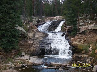 Upper Provo River FallsRoadside viewpoint at a signed highway parking area; recreation pass requiredSummit County, UT3.8 miNW
- Blackjack WaterfallSalt Lake County, UT40 miW
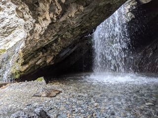 Donut FallsSummer parking and signed approach verified; winter gate changes the starting point.20 ft (6 m) · Salt Lake County, UT40 miW