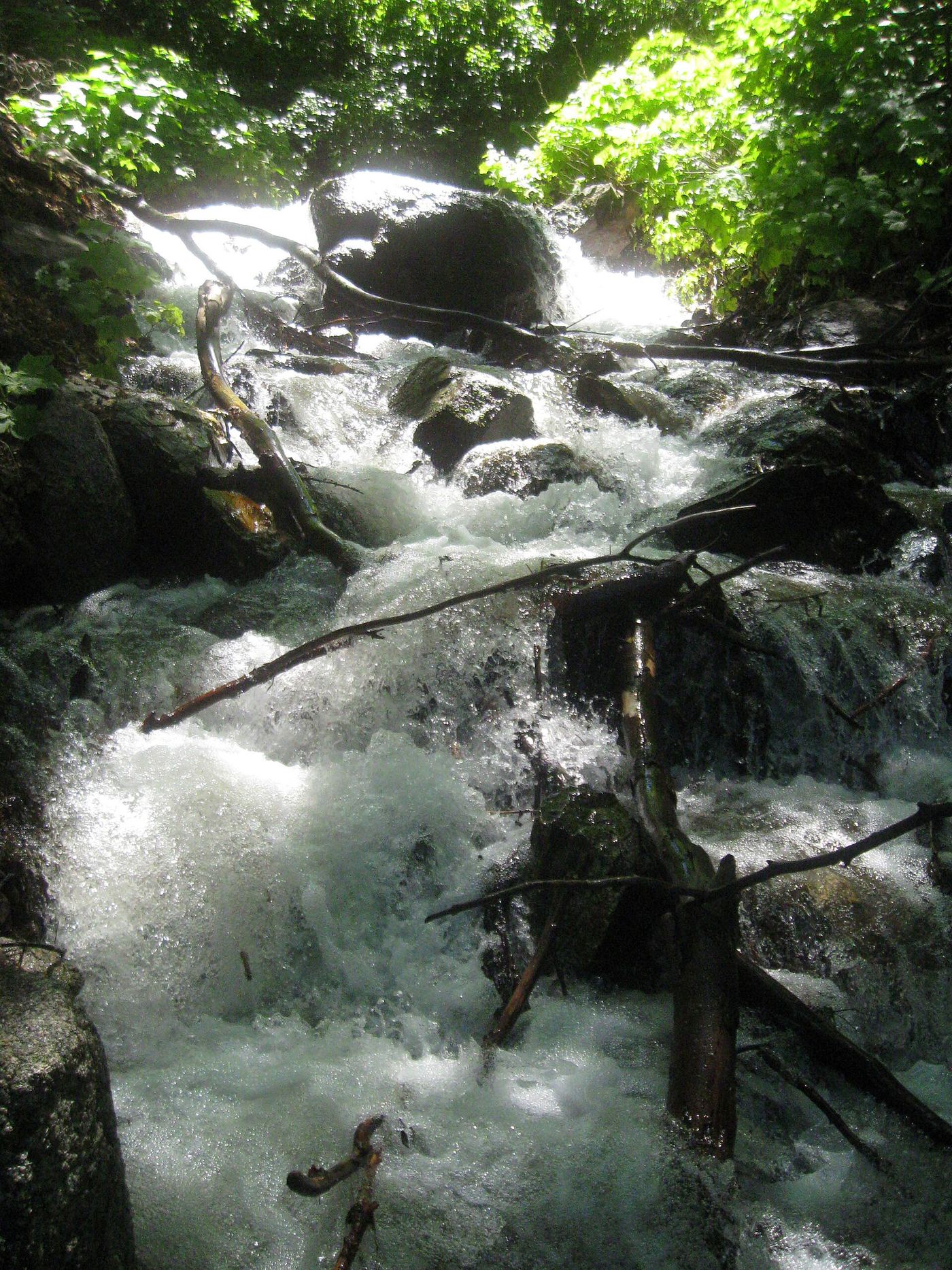
Waterfalls near Magna, UT
15 named waterfalls within 30 miles of Magna, closest first. Distances are straight-line from the town center.
Visits with route details
Read the walking route, starting point and current access notes.
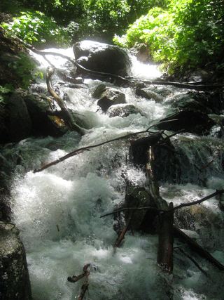 Rocky Mouth Canyon WaterfallGuide: short trail from Wasatch BoulevardSalt Lake County, UT
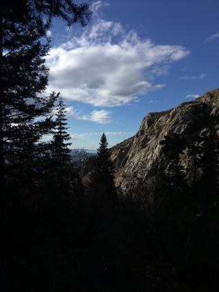 Lower Bells Canyon WaterfallSteep canyon trail from a signed trailhead to a short spurSalt Lake County, UT
- Hidden FallsResearched visit notesSalt Lake County, UT
- Upper Bells Canyon WaterfallSteep canyon trail from a signed trailhead; upper falls beyond the Lower Falls junctionSalt Lake County, UT
- Ghost FallsSigned Corner Canyon trails from a trailhead lot; shared with bikesSalt Lake County, UT
- Moss Ledge WaterfallPartial guide: short unmaintained social trail with scramblingSalt Lake County, UT
- Lisa FallsRoute and parking researchedSalt Lake County, UT
- Gloria FallsResearched visit notesSalt Lake County, UT
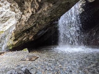 Donut FallsSummer parking and signed approach verified; winter gate changes the starting point.20 ft (6 m) · Salt Lake County, UT
- Horsetail FallsResearched visit notesUtah County, UT
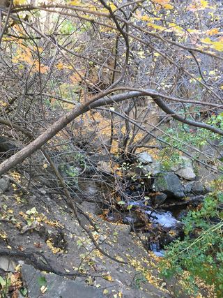 Adams Canyon Lower FallsVisitor route and trailhead documented; steep switchbacks16 ft (5 m) · Davis County, UT
- Adams Canyon WaterfallVisitor route and trailhead documented; steep canyon trailDavis County, UT
Closest with a photo
All 15 waterfalls
- Rocky Mouth Canyon WaterfallGuide: short trail from Wasatch BoulevardSalt Lake County, UT19 miSE
- Lower Bells Canyon WaterfallSteep canyon trail from a signed trailhead to a short spurSalt Lake County, UT20 miSE
- Hidden FallsResearched visit notesSalt Lake County, UT20 miE
- Upper Bells Canyon WaterfallSteep canyon trail from a signed trailhead; upper falls beyond the Lower Falls junctionSalt Lake County, UT21 miSE
- Ghost FallsSigned Corner Canyon trails from a trailhead lot; shared with bikesSalt Lake County, UT21 miSE
- Moss Ledge WaterfallPartial guide: short unmaintained social trail with scramblingSalt Lake County, UT21 miE
- Monet WaterfallUtah County, UT21 miSE
- Lisa FallsRoute and parking researchedSalt Lake County, UT22 miSE
- Upper Lisa FallsSalt Lake County, UT22 miSE
- Gloria FallsResearched visit notesSalt Lake County, UT24 miSE
- Donut FallsSummer parking and signed approach verified; winter gate changes the starting point.20 ft (6 m) · Salt Lake County, UT24 miE
- Horsetail FallsResearched visit notesUtah County, UT24 miSE
- Blackjack WaterfallSalt Lake County, UT25 miE
- Adams Canyon Lower FallsVisitor route and trailhead documented; steep switchbacks16 ft (5 m) · Davis County, UT27 miNE
- Adams Canyon WaterfallVisitor route and trailhead documented; steep canyon trailDavis County, UT27 miNE