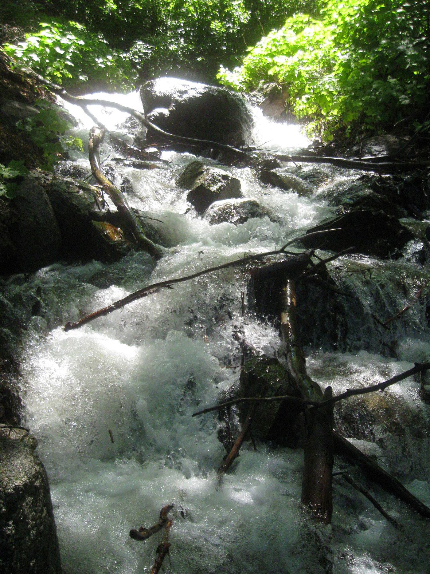
Waterfalls near West Jordan, UT
23 named waterfalls within 30 miles of West Jordan, closest first. Distances are straight-line from the town center.
Visits with route details
Read the walking route, starting point and current access notes.
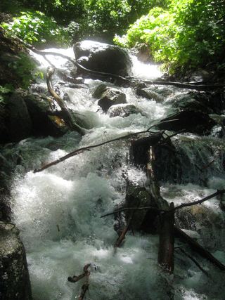 Rocky Mouth Canyon WaterfallGuide: short trail from Wasatch BoulevardSalt Lake County, UT
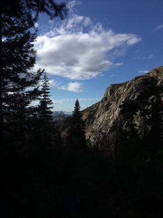 Lower Bells Canyon WaterfallSteep canyon trail from a signed trailhead to a short spurSalt Lake County, UT
- Ghost FallsSigned Corner Canyon trails from a trailhead lot; shared with bikesSalt Lake County, UT
- Upper Bells Canyon WaterfallSteep canyon trail from a signed trailhead; upper falls beyond the Lower Falls junctionSalt Lake County, UT
- Lisa FallsRoute and parking researchedSalt Lake County, UT
- Hidden FallsResearched visit notesSalt Lake County, UT
- Moss Ledge WaterfallPartial guide: short unmaintained social trail with scramblingSalt Lake County, UT
- Horsetail FallsResearched visit notesUtah County, UT
- Gloria FallsResearched visit notesSalt Lake County, UT
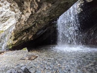 Donut FallsSummer parking and signed approach verified; winter gate changes the starting point.20 ft (6 m) · Salt Lake County, UT
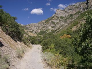 Grove Creek FallsPartial guide: trail to two waterfall viewpoints; which falls this listing marks is not confirmedUtah County, UT
- Scout FallsNational forest trail route documented; recreation pass and weekend timed entryUtah County, UT
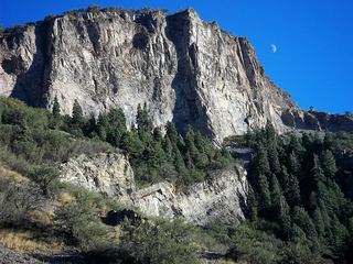 Battle Creek FallsPublished guidebook route and trailhead documentedUtah County, UT
- Stewart FallsVisitor route and trailhead documented; recreation fee at the Alpine Loop fee boothUtah County, UT
- Lost Creek FallsPartial guide: steep trail, unclear paths near the fallsUtah County, UT
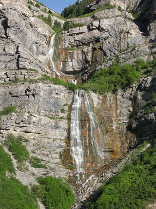 Bridal Veil FallsPaved park path and short trail to the base; also seen from the road607 ft (185 m) · Utah County, UT
- Smith Ditch Falls No.1Unsigned foothill trail from a canyon park; rockfall hazardUtah County, UT
- Upper FallsFirsthand trail guide; check current closuresUtah County, UT
Closest with a photo
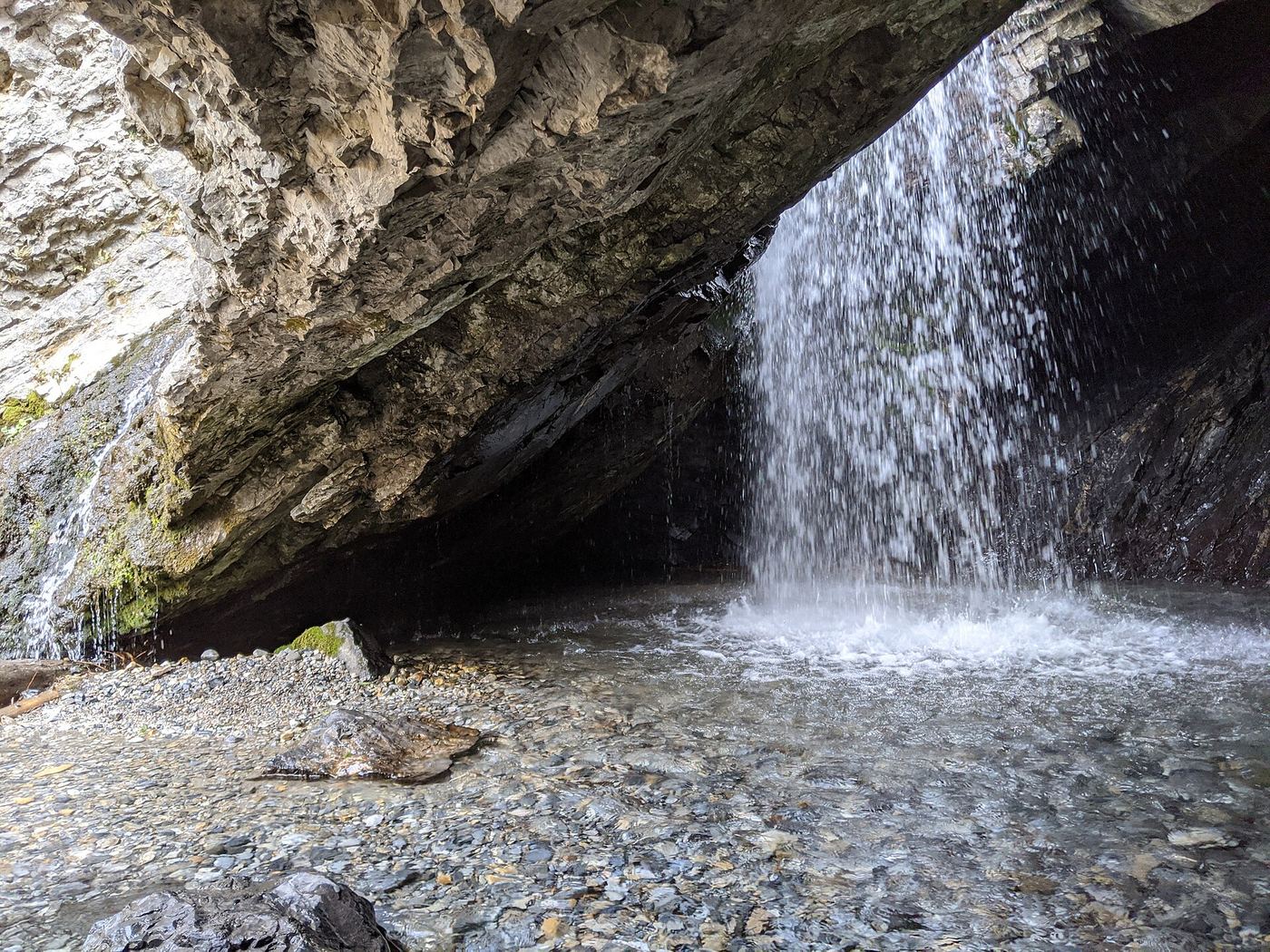
All 23 waterfalls
- Rocky Mouth Canyon WaterfallGuide: short trail from Wasatch BoulevardSalt Lake County, UT8.5 miSE
- Lower Bells Canyon WaterfallSteep canyon trail from a signed trailhead to a short spurSalt Lake County, UT9.5 miE
- Ghost FallsSigned Corner Canyon trails from a trailhead lot; shared with bikesSalt Lake County, UT10.0 miSE
- Upper Bells Canyon WaterfallSteep canyon trail from a signed trailhead; upper falls beyond the Lower Falls junctionSalt Lake County, UT10 miE
- Lisa FallsRoute and parking researchedSalt Lake County, UT11 miE
- Hidden FallsResearched visit notesSalt Lake County, UT11 miE
- Upper Lisa FallsSalt Lake County, UT12 miE
- Moss Ledge WaterfallPartial guide: short unmaintained social trail with scramblingSalt Lake County, UT12 miE
- Monet WaterfallUtah County, UT12 miS
- Horsetail FallsResearched visit notesUtah County, UT13 miSE
- Gloria FallsResearched visit notesSalt Lake County, UT14 miE
- Donut FallsSummer parking and signed approach verified; winter gate changes the starting point.20 ft (6 m) · Salt Lake County, UT15 miE
- Blackjack WaterfallSalt Lake County, UT15 miE
- Grove Creek FallsPartial guide: trail to two waterfall viewpoints; which falls this listing marks is not confirmedUtah County, UT20 miSE
- Scout FallsNational forest trail route documented; recreation pass and weekend timed entryUtah County, UT21 miSE
- Battle Creek FallsPublished guidebook route and trailhead documentedUtah County, UT21 miSE
- Stewart FallsVisitor route and trailhead documented; recreation fee at the Alpine Loop fee boothUtah County, UT23 miSE
- Lost Creek FallsPartial guide: steep trail, unclear paths near the fallsUtah County, UT25 miSE
- Bridal Veil FallsPaved park path and short trail to the base; also seen from the road607 ft (185 m) · Utah County, UT26 miSE
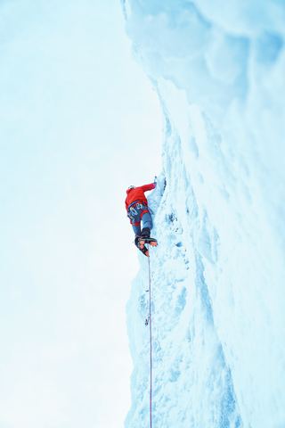 Upper Bridal Veil FallsUtah County, UT26 miSE
- Smith Ditch Falls No. 2Utah County, UT26 miSE
- Smith Ditch Falls No.1Unsigned foothill trail from a canyon park; rockfall hazardUtah County, UT26 miSE
- Upper FallsFirsthand trail guide; check current closuresUtah County, UT26 miSE