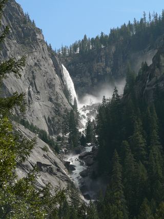
Lower Yosemite Fall
Mariposa County, California
Your visit at a glance
- Waterfall height
- 320 ft lower fall
- Location
- Mariposa County, California
- The walk
- 1-mile loop
- Ground & access
- The eastern section is wheelchair accessible when free of ice and snow. The western section has a short steep grade near the viewing area.
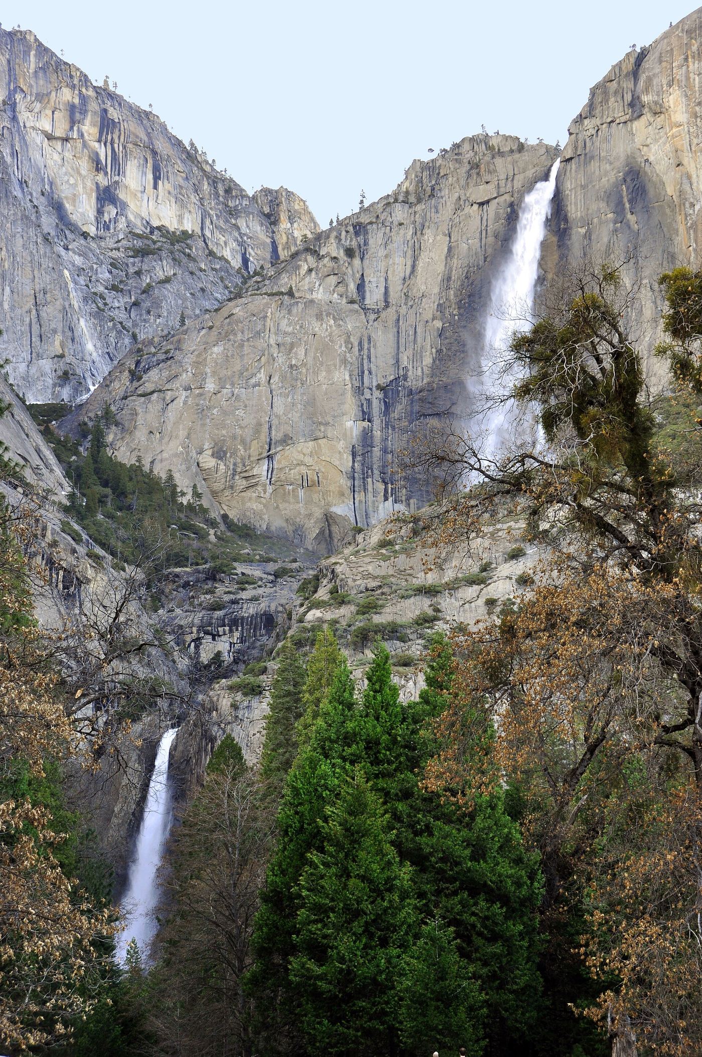
This paved loop visits the base of the lower fall. It is a different route from the much longer hike to Upper Yosemite Fall.
Plan your visit
Lower Yosemite Fall loop
Approximately 50 ft of elevation gain over the full loop.
The eastern section is wheelchair accessible when free of ice and snow. The western section has a short steep grade near the viewing area.
Where to start
There is no parking at the trailhead. Use Yosemite Village or Yosemite Falls parking, then walk or take the shuttle to the Lower Yosemite Fall stop.
Timing & water
The trail is open year-round. The waterfall is often dry from late July or August through October.
Before you go
Check the national park's current entry requirements before travelling.
Visitor informationMore waterfalls nearby
Within 40 straight-line miles. Road and trail distances will differ.
 Middle CascadesSpecific viewpoint approach and parking unconfirmed676 ft (206 m) · Mariposa County, CA0.2 miN
 Upper Yosemite FallSource-reviewed route and parking1,444 ft (440 m) · Mariposa County, CA0.4 miN
 Lehamite FallsPartial guide: distant view only; no named viewpoint or parking1,181 ft (360 m) · Mariposa County, CA1.3 miNE
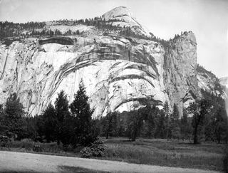 Royal Arch CascadeOfficial location note; parking and approach unknown1,247 ft (380 m) · Mariposa County, CA1.4 miE
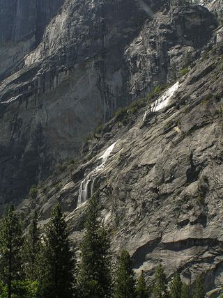 Staircase FallsResearched visit notes1,017 ft (310 m) · Mariposa County, CA1.7 miSE
- Sentinel FallPartial guide: viewing locations verified; parking and exact approach unknown.1,936 ft (590 m) · Mariposa County, CA1.8 miS
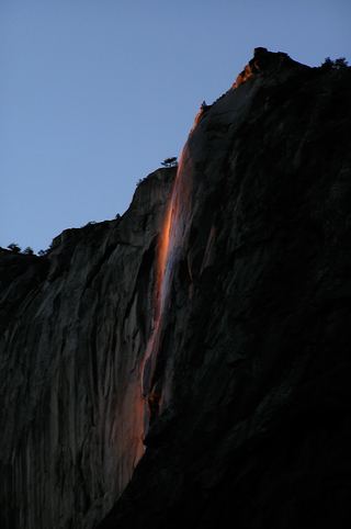 Horsetail FallDated February 2026 viewing route; confirm the next season's access plan.1,542 ft (470 m) · Mariposa County, CA2.2 miSW
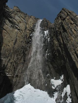 Ribbon FallResearched visit notes1,612 ft (491.4 m) · Mariposa County, CA3.0 miW
 Illilouette FallPublished trail route documented; Glacier Point Road open when checked361 ft (110 m) · Mariposa County, CA3.2 miSE