Horsetail Fall
Mariposa County, California
Your visit at a glance
- Waterfall height
- 1,542 ft (470 m)
- Location
- Mariposa County, California
- Access status
- Dated February 2026 viewing route; confirm the next season's access plan.
- The walk
- 1.5 miles one way; 3 miles return
- Ground & access
- Winter walking may involve snow, ice and darkness; special pedestrian arrangements apply in February.
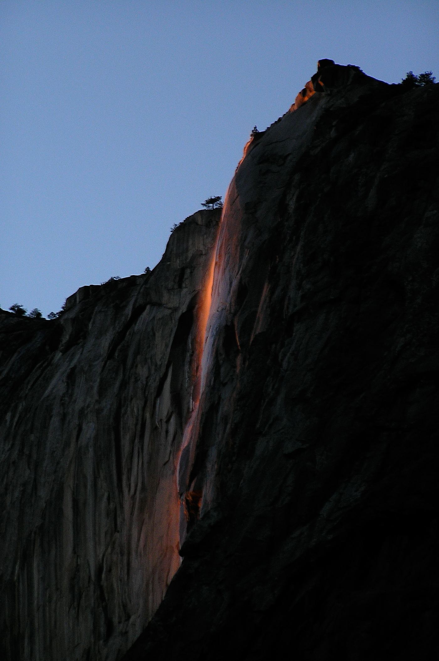
Yosemite's Horsetail Fall flows from the eastern edge of El Capitan. Its orange sunset illumination depends on flowing water and clear February skies.
Plan your visit
For the published February 2026 viewing arrangement, walk from Yosemite Falls parking to the viewing area near El Capitan Picnic Area and return. Verify arrangements for a future February before using this route.
NPS explicitly gives 1.5 miles each way for the late-February viewing arrangement.
Winter walking may involve snow, ice and darkness; special pedestrian arrangements apply in February.
Where to start
The February 2026 plan uses Yosemite Falls parking west of Yosemite Valley Lodge, with shuttle alternatives from Yosemite Village or Curry Village if full.
Timing & water
Usually flows in winter; the illumination may occur in mid-to-late February. This is a dated February 2026 access plan, not confirmation of 2027 arrangements.
Before you go
NPS says February 2026 did not require a reservation. Future-year requirements and current entrance fees are unverified.
Visitor informationVisit sources
More waterfalls nearby
Within 40 straight-line miles. Road and trail distances will differ.
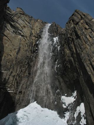 Ribbon FallResearched visit notes1,612 ft (491.4 m) · Mariposa County, CA1.1 miW
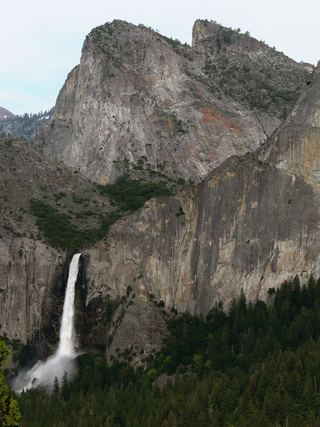 Bridalveil FallSource-reviewed route and parking617 ft (188 m) · Mariposa County, CA1.4 miSW
- Sentinel FallPartial guide: viewing locations verified; parking and exact approach unknown.1,936 ft (590 m) · Mariposa County, CA1.8 miE
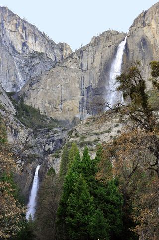 Lower Yosemite FallResearched visit notes320 ft lower fall · Mariposa County, CA2.2 miNE
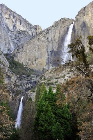 Middle CascadesSpecific viewpoint approach and parking unconfirmed676 ft (206 m) · Mariposa County, CA2.3 miNE
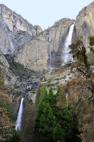 Upper Yosemite FallSource-reviewed route and parking1,444 ft (440 m) · Mariposa County, CA2.5 miNE
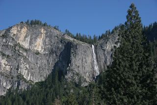 Silver Strand FallsPartial guide: viewpoint from a travel company guide, not confirmed by NPS574 ft (175 m) · Mariposa County, CA2.9 miSW
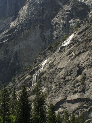 Staircase FallsResearched visit notes1,017 ft (310 m) · Mariposa County, CA2.9 miE
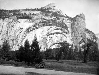 Royal Arch CascadeOfficial location note; parking and approach unknown1,247 ft (380 m) · Mariposa County, CA3.4 miE