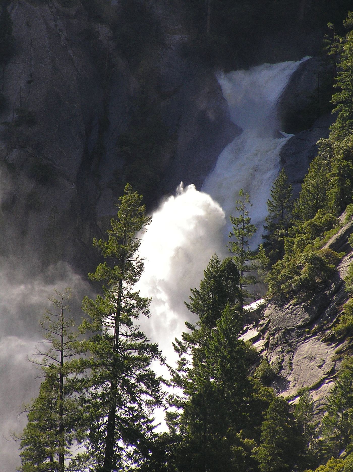
Photo credit
Photo: Taken by flickr user Ambitious Wench on June 5, 2006. CC-BY-SA-2.0 as of 2007-03-02. https://www.flickr.com/photos/amb, CC BY-SA 2.0, via Wikimedia CommonsSnow Creek Falls
2,133 ft (650 m) · Mariposa County, CA
377 named waterfalls in 46 counties. Browse mapped locations and recorded heights. A map listing does not confirm public access or a walking route.
Read the walking route, starting point and current access notes.
 Huntington FallsSource-reviewed route and parking110 ft (33.5 m) · San Francisco County, CA
 Middle CascadesSpecific viewpoint approach and parking unconfirmed676 ft (206 m) · Mariposa County, CA
 Lower Yosemite FallResearched visit notes320 ft lower fall · Mariposa County, CA
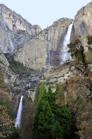 Upper Yosemite FallSource-reviewed route and parking1,444 ft (440 m) · Mariposa County, CA
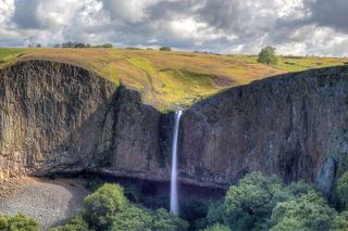 Phantom FallsApproach verified on the official map; paths are unmaintained.164 ft (50 m) · Butte County, CA
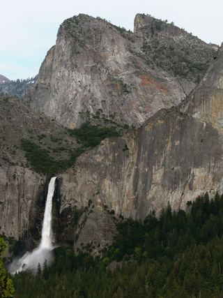 Bridalveil FallSource-reviewed route and parking617 ft (188 m) · Mariposa County, CA
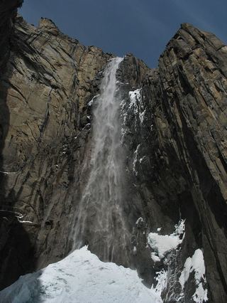 Ribbon FallResearched visit notes1,612 ft (491.4 m) · Mariposa County, CA
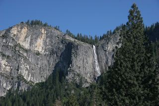 Silver Strand FallsPartial guide: viewpoint from a travel company guide, not confirmed by NPS574 ft (175 m) · Mariposa County, CA
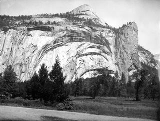 Royal Arch CascadeOfficial location note; parking and approach unknown1,247 ft (380 m) · Mariposa County, CA
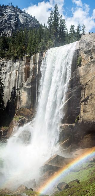 Vernal FallResearched visit notes318 ft (97 m) · Mariposa County, CA
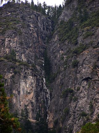 Lehamite FallsPartial guide: distant view only; no named viewpoint or parking1,181 ft (360 m) · Mariposa County, CA
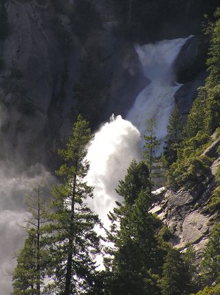 Snow Creek FallsNamed trail does not provide a waterfall view2,133 ft (650 m) · Mariposa County, CA
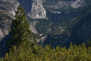 Nevada FallOfficial park trail; strenuous594 ft (181 m) · Mariposa County, CA
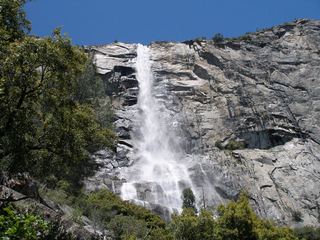 Tueeulala FallsPartial guide: shoreline viewing route verified; exact viewpoint and parking approach unknown.915 ft (279 m) · Tuolumne County, CA
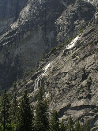 Staircase FallsResearched visit notes1,017 ft (310 m) · Mariposa County, CA
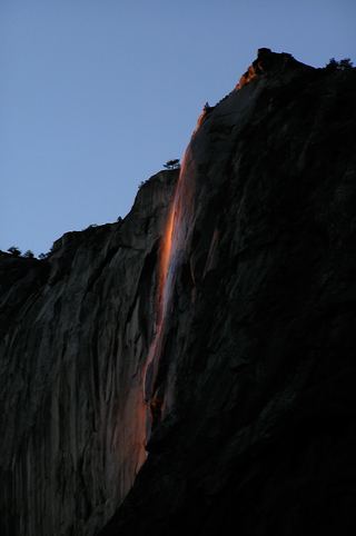 Horsetail FallDated February 2026 viewing route; confirm the next season's access plan.1,542 ft (470 m) · Mariposa County, CA
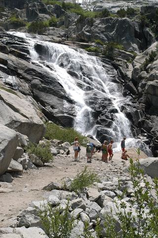 Tokopah FallsResearched visit notesTulare County, CA
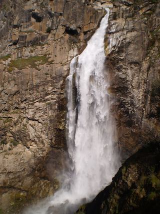 Feather FallsTrail reopened; campground closed410 ft (125 m) · Butte County, CA
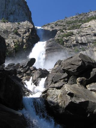 Wapama FallsResearched walking route1,286 ft (392 m) · Tuolumne County, CA
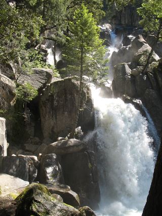 Chilnualna FallOfficial NPS trail and trailheadMariposa County, CA
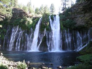 Burney FallsResearched visit notes115 ft (35 m) · Shasta County, CA
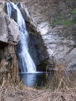 Paradise FallsSigned park trail; check current COSCA closures70 ft (21.4 m) · Ventura County, CA
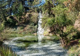 Rainbow FallsPartial: park viewpoint; flow and parking not confirmedSan Francisco County, CA
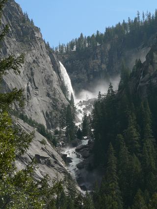 Illilouette FallPublished trail route documented; Glacier Point Road open when checked361 ft (110 m) · Mariposa County, CA
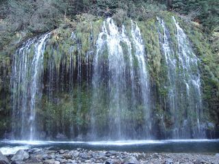 Mossbrae FallsPublic trail proposed; legal approach unverifiedSiskiyou County, CA
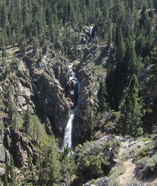 Leavitt FallsSource-reviewed route and parkingMono County, CA
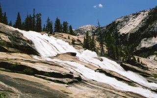 Waterwheel FallsOfficial long route; Tioga Road seasonal accessTuolumne County, CA
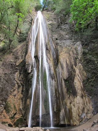 Nojoqui FallsPublished county park route and parking documentedSanta Barbara County, CA
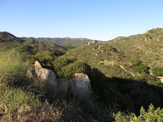 Ortega FallsShort published path from a highway turnout35 ft (10.6 m) · Riverside County, CA
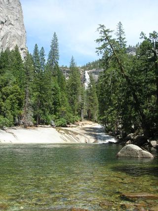 Silver ApronOfficial trail; weekday detour and winter closures applyMariposa County, CA
 Castle Rock FallsPublished state park trail route and fee documented; viewing platformSanta Cruz County, CA
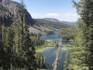 Twin FallsResearched walking routeMono County, CA
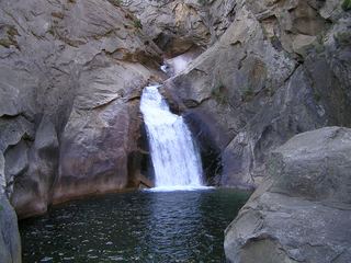 Roaring River FallsResearched visit notesFresno County, CA
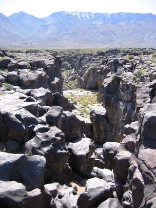 Fossil FallsPublished short route and parking documented; dry falls, cliff edgesInyo County, CA
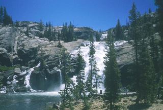 Tuolumne FallsOfficial trail distance and road season documented; seasonal roadTuolumne County, CA
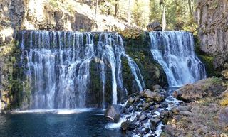 Upper FallsVehicle access closed October 5, 2026–May 1, 2027; winter walking approach unverified.Siskiyou County, CA
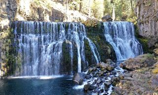 Middle FallsSeasonal road closure; winter walk unmeasuredSiskiyou County, CA
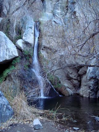 Darwin FallsRoad closed; longer walking approachInyo County, CA
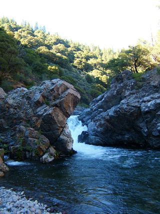 Deer Creek FallsRoute and parking researchedTehama County, CA
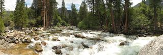 Rancheria FallsOfficial NPS trail; long day hike or overnightTuolumne County, CA
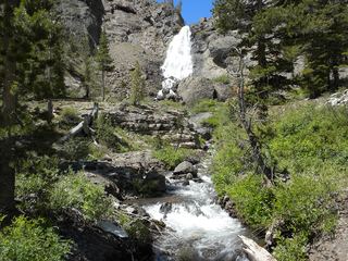 Sardine FallsPartial guide: unmarked use trail; exact pullout not confirmed by an official sourceMono County, CA
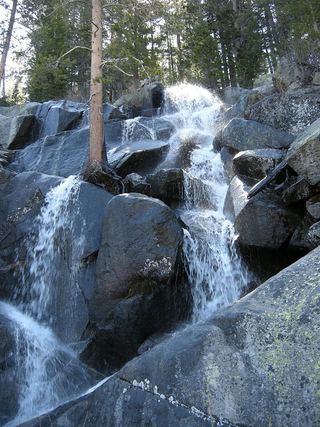 Quaking Aspen FallsApproach or parking partly unconfirmedMariposa County, CA
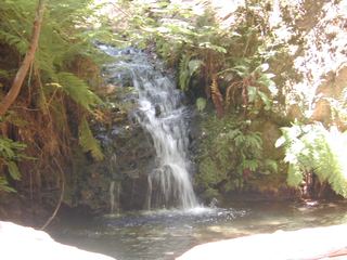 Tip Toe FallsPublished trail route documented; state park day-use fee appliesSan Mateo County, CA
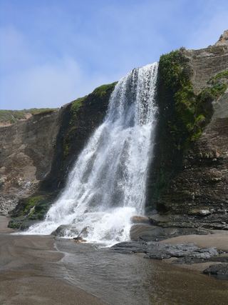 Alamere FallsLong hike with tide-dependent beach access; use the NPS route.Marin County, CA
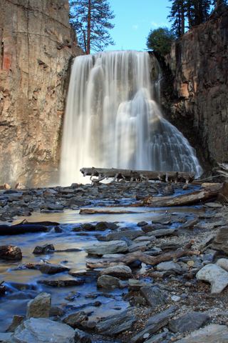 Rainbow FallsRoad closed weekdays through November 1, 2026; full road closure from November 2. Partial guide: day-use parking approach unverified.Madera County, CA
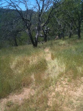 Pacheco FallsOfficial park backpacking route; strenuous multi-day tripSanta Clara County, CA
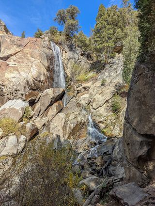 Grizzly FallsPartial guide: picnic-area walk documented; parking unknown.Fresno County, CA
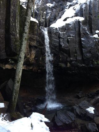 Hedge Creek FallsCity trail with documented trailhead parkingSiskiyou County, CA
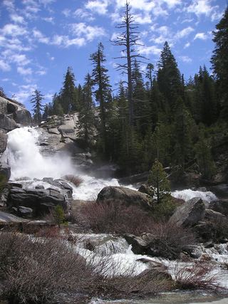 Chilnualna Creek CascadesPartial guide: exact cascade position on the route not confirmedMariposa County, CA
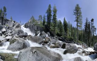 Bassi FallsPartial notes: Millionaire Trail approach documented; parking and distance convention unverified.El Dorado County, CA
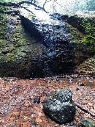 Chamberlain Creek WaterfallVisitor-documented trailhead and short stepped trail in Jackson Demonstration State ForestMendocino County, CA
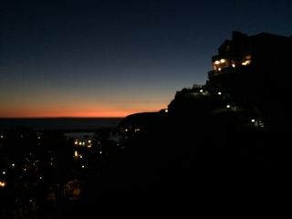 Dana Point Seasonal WaterfallRoadside seasonal waterfall; flows only after rainOrange County, CA
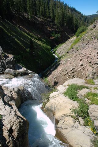 Mill Creek FallsOfficial park trailTehama County, CA
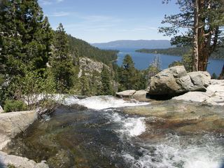 Lower Eagle FallsOfficial state park trailEl Dorado County, CA
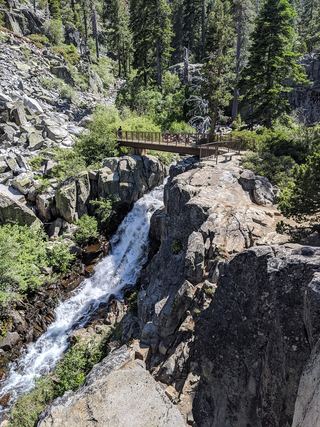 Upper Eagle FallsOfficial trailhead; seasonal parking typically closes mid-OctoberEl Dorado County, CA
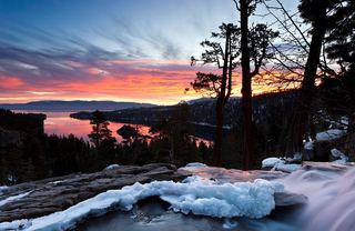 Eagle FallsLower Eagle Falls route verifiedEl Dorado County, CA
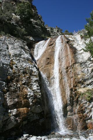 San Antonio FallsPermitted parking and current access unconfirmedSan Bernardino County, CA
 Tahquitz FallsOfficial trail, hours and admission documentedRiverside County, CA
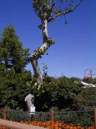 Bonfante FallsInside a paid theme park; admission and parking feeSanta Clara County, CA
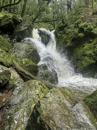 Sonoma Creek FallsOfficial park waterfall route and fee documentedSonoma County, CA
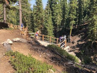 Kings Creek FallsConflicting access informationShasta County, CA
 Millard FallsCamp closure posted; road and falls access unverifiedLos Angeles County, CA
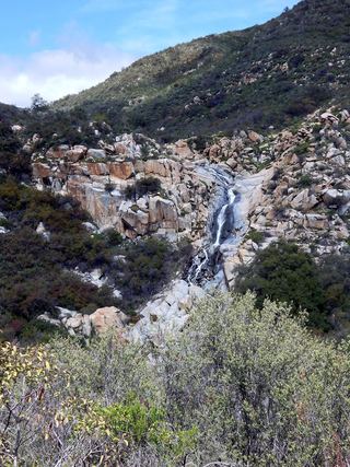 Tenaja FallsOfficial trail documented; check road alertsRiverside County, CA
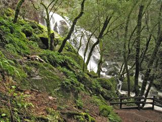 Laurel Dell FallsPartial guide: route to Laurel Dell documented; exact drop not named in sourcesMarin County, CA
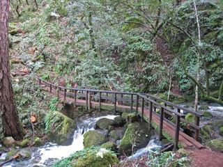 Cataract FallsPublished trail route; roadside parking at the hairpinMarin County, CA
2,133 ft (650 m) · Mariposa County, CA
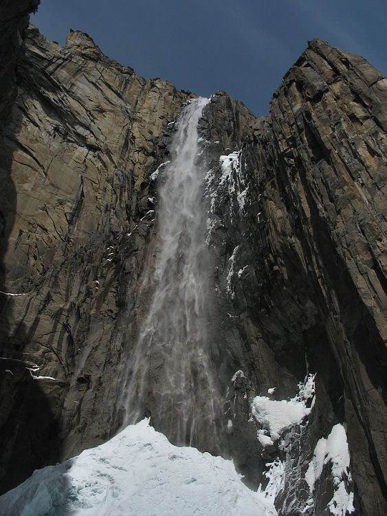
1,612 ft (491.4 m) · Mariposa County, CA
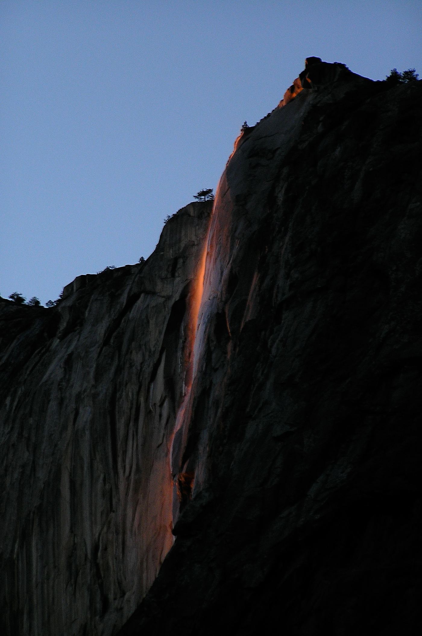
1,542 ft (470 m) · Mariposa County, CA
Upper Yosemite FallSource-reviewed route and parking1,444 ft (440 m) · Mariposa CountyWapama FallsResearched walking route1,286 ft (392 m) · Tuolumne CountyRoyal Arch CascadeOfficial location note; parking and approach unknown1,247 ft (380 m) · Mariposa CountyLehamite FallsPartial guide: distant view only; no named viewpoint or parking1,181 ft (360 m) · Mariposa CountyStaircase FallsResearched visit notes1,017 ft (310 m) · Mariposa CountyTueeulala FallsPartial guide: shoreline viewing route verified; exact viewpoint and parking approach unknown.915 ft (279 m) · Tuolumne CountyBridalveil FallSource-reviewed route and parking617 ft (188 m) · Mariposa CountyChilnualna Creek CascadesPartial guide: exact cascade position on the route not confirmedMariposa CountyChilnualna FallOfficial NPS trail and trailheadMariposa CountyHorsetail FallDated February 2026 viewing route; confirm the next season's access plan.1,542 ft (470 m) · Mariposa CountyIllilouette FallPublished trail route documented; Glacier Point Road open when checked361 ft (110 m) · Mariposa CountyLehamite FallsPartial guide: distant view only; no named viewpoint or parking1,181 ft (360 m) · Mariposa CountyLower Yosemite FallResearched visit notes320 ft lower fall · Mariposa CountyMiddle CascadesSpecific viewpoint approach and parking unconfirmed676 ft (206 m) · Mariposa CountyNevada FallOfficial park trail; strenuous594 ft (181 m) · Mariposa CountyQuaking Aspen FallsApproach or parking partly unconfirmedMariposa CountyRibbon FallResearched visit notes1,612 ft (491.4 m) · Mariposa CountyRoyal Arch CascadeOfficial location note; parking and approach unknown1,247 ft (380 m) · Mariposa CountySilver ApronOfficial trail; weekday detour and winter closures applyMariposa CountySilver Strand FallsPartial guide: viewpoint from a travel company guide, not confirmed by NPS574 ft (175 m) · Mariposa CountySnow Creek FallsNamed trail does not provide a waterfall view2,133 ft (650 m) · Mariposa CountyStaircase FallsResearched visit notes1,017 ft (310 m) · Mariposa CountyUpper Yosemite FallSource-reviewed route and parking1,444 ft (440 m) · Mariposa CountyVernal FallResearched visit notes318 ft (97 m) · Mariposa CountyMillard FallsCamp closure posted; road and falls access unverifiedLos Angeles County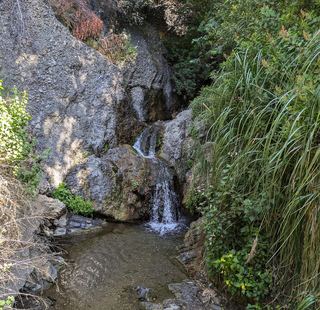 Temescal FallsLos Angeles CountyTokopah FallsResearched visit notesTulare CountyBurney FallsResearched visit notes115 ft (35 m) · Shasta CountyKings Creek FallsConflicting access informationShasta CountyHedge Creek FallsCity trail with documented trailhead parkingSiskiyou CountyMiddle FallsSeasonal road closure; winter walk unmeasuredSiskiyou CountyMossbrae FallsPublic trail proposed; legal approach unverifiedSiskiyou CountyUpper FallsVehicle access closed October 5, 2026–May 1, 2027; winter walking approach unverified.Siskiyou CountyFeather FallsTrail reopened; campground closed410 ft (125 m) · Butte CountyPhantom FallsApproach verified on the official map; paths are unmaintained.164 ft (50 m) · Butte CountyGrizzly FallsPartial guide: picnic-area walk documented; parking unknown.Fresno CountyRoaring River FallsResearched visit notesFresno County
 Adobe FallsSan Diego County
 Lower Adobe FallsSan Diego County
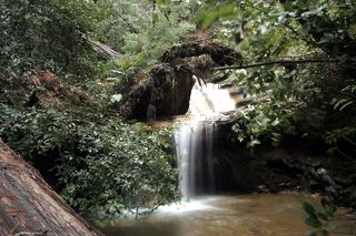 Berry Creek FallsSanta Cruz CountyCastle Rock FallsPublished state park trail route and fee documented; viewing platformSanta Cruz CountyRancheria FallsOfficial NPS trail; long day hike or overnightTuolumne CountyTueeulala FallsPartial guide: shoreline viewing route verified; exact viewpoint and parking approach unknown.915 ft (279 m) · Tuolumne CountyTuolumne FallsOfficial trail distance and road season documented; seasonal roadTuolumne CountyWapama FallsResearched walking route1,286 ft (392 m) · Tuolumne CountyWaterwheel FallsOfficial long route; Tioga Road seasonal accessTuolumne CountyAlamere FallsLong hike with tide-dependent beach access; use the NPS route.Marin CountyCataract FallsPublished trail route; roadside parking at the hairpinMarin CountyLaurel Dell FallsPartial guide: route to Laurel Dell documented; exact drop not named in sourcesMarin CountyDana Point Seasonal WaterfallRoadside seasonal waterfall; flows only after rainOrange County
 Holly Jim FallsOrange CountySan Antonio FallsPermitted parking and current access unconfirmedSan Bernardino CountyBassi FallsPartial notes: Millionaire Trail approach documented; parking and distance convention unverified.El Dorado CountyEagle FallsLower Eagle Falls route verifiedEl Dorado CountyLower Eagle FallsOfficial state park trailEl Dorado CountyUpper Eagle FallsOfficial trailhead; seasonal parking typically closes mid-OctoberEl Dorado CountyOrtega FallsShort published path from a highway turnout35 ft (10.6 m) · Riverside CountyTahquitz FallsOfficial trail, hours and admission documentedRiverside CountyTenaja FallsOfficial trail documented; check road alertsRiverside CountyRainbow FallsRoad closed weekdays through November 1, 2026; full road closure from November 2. Partial guide: day-use parking approach unverified.Madera CountyLeavitt FallsSource-reviewed route and parkingMono CountySardine FallsPartial guide: unmarked use trail; exact pullout not confirmed by an official sourceMono CountyTwin FallsResearched walking routeMono CountyBonfante FallsInside a paid theme park; admission and parking feeSanta Clara CountyPacheco FallsOfficial park backpacking route; strenuous multi-day tripSanta Clara CountyParadise FallsSigned park trail; check current COSCA closures70 ft (21.4 m) · Ventura CountyDarwin FallsRoad closed; longer walking approachInyo CountyFossil FallsPublished short route and parking documented; dry falls, cliff edgesInyo CountyNojoqui FallsPublished county park route and parking documentedSanta Barbara County