White Cascade
Tuolumne County, California
Your visit at a glance
- Waterfall height
- Not recorded
- Location
- Tuolumne County, California
- Access status
- Official trail distance and road season documented; seasonal road
- The walk
- About 8 miles return
- Ground & access
- Long day hike on dirt, rocky and uneven trail with several unbridged stream crossings that can be high, cold and swift early in the season. No pets or bicycles.
From the Glen Aulin and Soda Springs Trailhead on Tioga Road, follow the trail along the Tuolumne River through meadows and forest toward Glen Aulin. White Cascade and Tuolumne Fall are four miles from the trailhead. Return the same way, which is mostly uphill with 800 feet of gain.
Plan your visit
Glen Aulin and Soda Springs Trailhead in Tuolumne Meadows to White Cascade at Glen Aulin
NPS says White Cascade is four miles from the trailhead, so about 8 miles out and back. The NPS 11-mile figure is for the full Glen Aulin hike.
Long day hike on dirt, rocky and uneven trail with several unbridged stream crossings that can be high, cold and swift early in the season. No pets or bicycles.
Where to start
Glen Aulin and Soda Springs Trailhead in Tuolumne Meadows, reachable by vehicle only when Tioga Road is open. Overnight parking ends October 15.
Timing & water
Tioga Road is typically open from late May or early June to October or November and closes after the first significant snowfall.
Before you go
Yosemite entrance pass required: $35 per private vehicle, valid seven days. Non-US residents pay an extra $100 per person. NPS says no timed reservation system in 2026.
Visitor informationMore waterfalls nearby
Within 40 straight-line miles. Road and trail distances will differ.
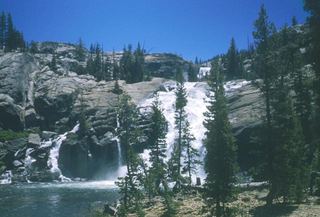 Tuolumne FallsOfficial trail distance and road season documented; seasonal roadTuolumne County, CA0.2 miSE
- California FallsPartial guide: exact distance to California Falls and trailhead parking not confirmedTuolumne County, CA1.3 miNW
- LeConte FallsOfficial trail route; long day hike, exact distance not publishedTuolumne County, CA2.0 miNW
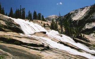 Waterwheel FallsOfficial long route; Tioga Road seasonal accessTuolumne County, CA2.5 miNW
- Upper Cathedral Creek FallsTuolumne County, CA4.7 miW
- Lower Cathedral Creek FallsTuolumne County, CA4.7 miW
- Tenaya Creek WaterslideMariposa County, CA7.6 miS
- Pywiack CascadeDistant viewpoint only; the cascade is not reached on foot591 ft (180 m) · Mariposa County, CA9.2 miSW
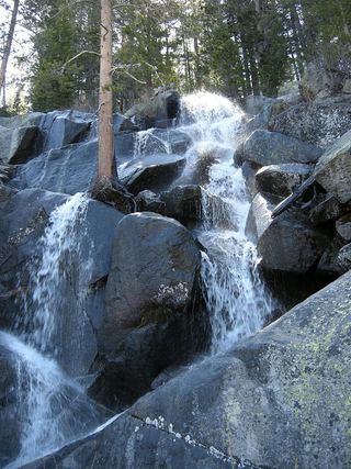 Quaking Aspen FallsApproach or parking partly unconfirmedMariposa County, CA9.2 miSW