Quaking Aspen Falls
Mariposa County, California
Your visit at a glance
- Waterfall height
- Not recorded
- Location
- Mariposa County, California
- Access status
- Approach or parking partly unconfirmed
- The walk
- Roadside view; no measured walk
- Ground & access
- Roadside stop; no maintained walking route established.
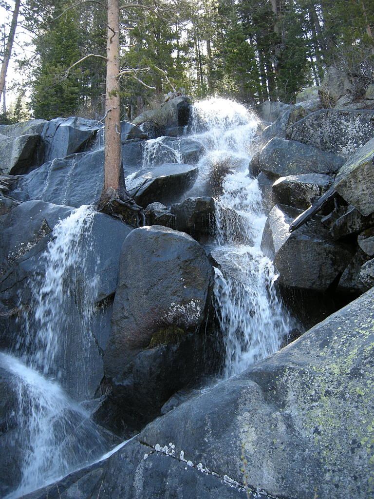
World Waterfall Database reports an in-person survey and locates this unofficially named fall beside Tioga Road, a quarter mile east of Yosemite Creek Picnic Area. It also identifies the name Tioga Pass Falls.
Plan your visit
Quaking Aspen Falls roadside views on Tioga Road
Only the stated source distance is supported; mapped proximity is not a walking distance.
Roadside stop; no maintained walking route established.
Where to start
The survey describes pullouts on both sides of Highway 120 a quarter mile east of Yosemite Creek Picnic Area. Current pullout legality and road status have not been independently confirmed.
Timing & water
Seasonal snowmelt fall; source expects it to dry by mid-June or early July in most years. Tioga Road opening must be checked.
Before you go
Unknown: current fees or reservation requirements were not established in the reviewed source.
Visitor informationVisit sources
More waterfalls nearby
Within 40 straight-line miles. Road and trail distances will differ.
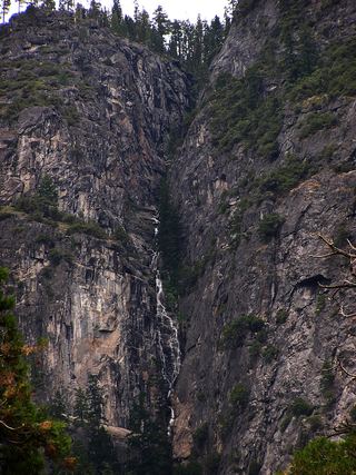 Lehamite FallsPartial guide: distant view only; no named viewpoint or parking1,181 ft (360 m) · Mariposa County, CA5.9 miS
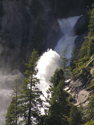 Snow Creek FallsNamed trail does not provide a waterfall view2,133 ft (650 m) · Mariposa County, CA6.0 miS
- Pywiack CascadeDistant viewpoint only; the cascade is not reached on foot591 ft (180 m) · Mariposa County, CA6.1 miSE
- Tenaya Creek WaterslideMariposa County, CA6.2 miSE
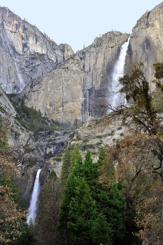 Upper Yosemite FallSource-reviewed route and parking1,444 ft (440 m) · Mariposa County, CA6.4 miS
- Three Chute FallsMariposa County, CA6.4 miS
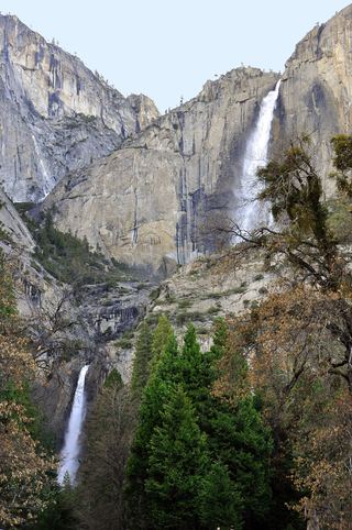 Middle CascadesSpecific viewpoint approach and parking unconfirmed676 ft (206 m) · Mariposa County, CA6.6 miS
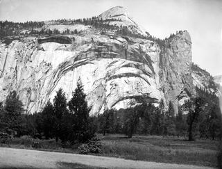 Royal Arch CascadeOfficial location note; parking and approach unknown1,247 ft (380 m) · Mariposa County, CA6.7 miS
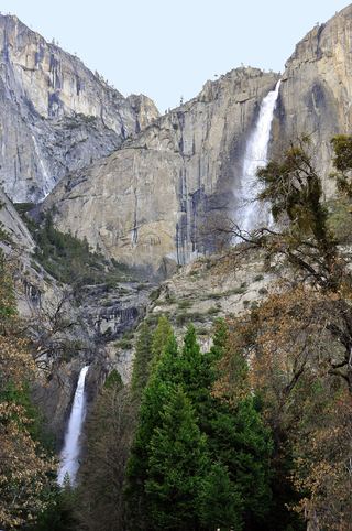 Lower Yosemite FallResearched visit notes320 ft lower fall · Mariposa County, CA6.8 miS