Upper Yosemite Fall
Mariposa County, California
Your visit at a glance
- Waterfall height
- 1,444 ft (440 m)
- Location
- Mariposa County, California
- Access status
- Source-reviewed route and parking
- The walk
- 7.2 miles round trip to the top
- Ground & access
- Strenuous, steep rocky switchbacks with exposed drop-offs and slippery loose granite.
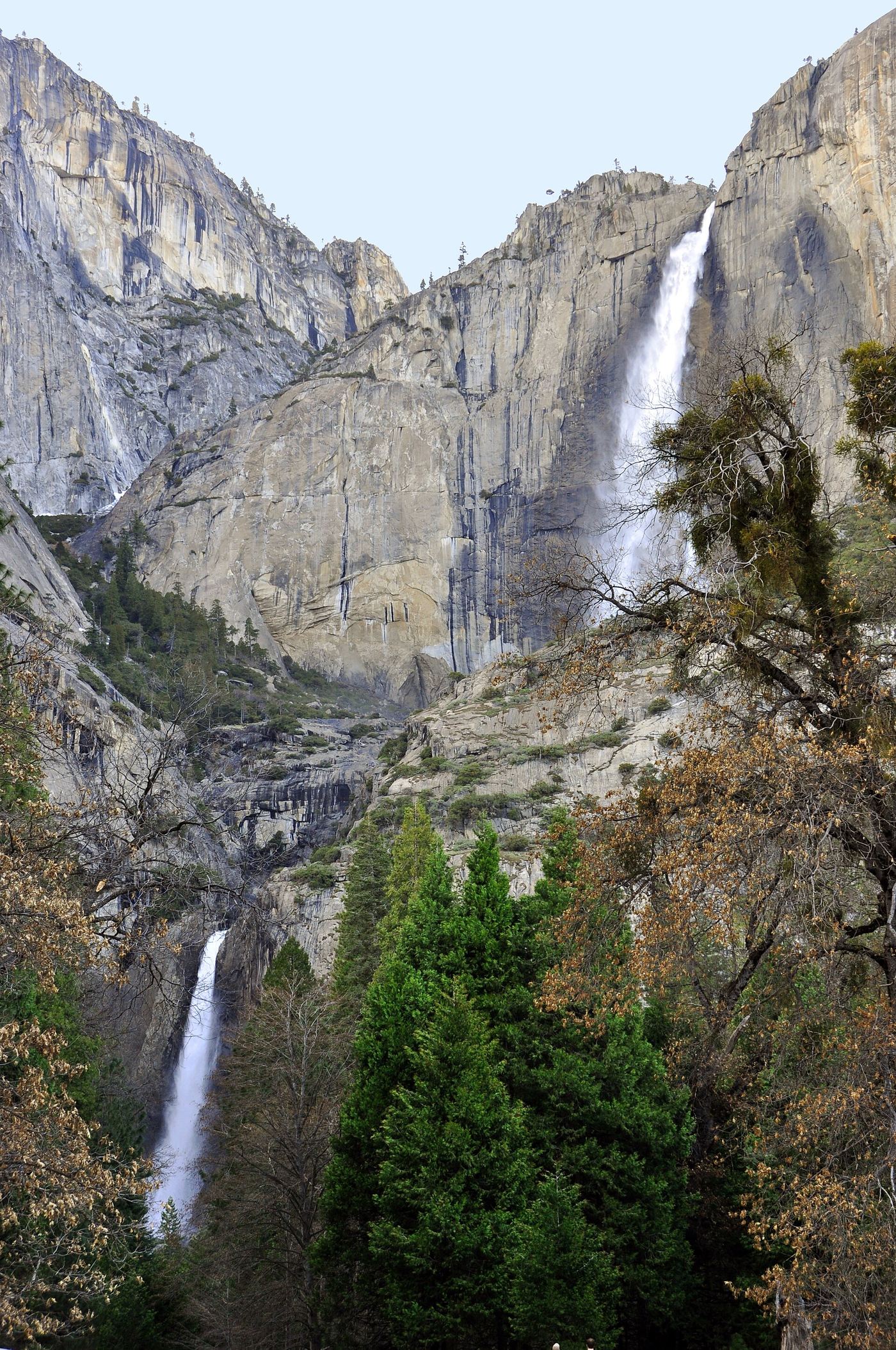
Start near Camp 4 and climb the maintained switchbacks past Columbia Rock to the upper falls. The full route gains 2,700 feet. Do not confuse the two-mile Columbia Rock return hike with a waterfall viewpoint: NPS says the falls view is another half mile beyond that rock.
Plan your visit
Upper Yosemite Fall via Yosemite Falls Trail
7.2 miles is the return hike to the top, not to Columbia Rock or the earlier falls view.
Strenuous, steep rocky switchbacks with exposed drop-offs and slippery loose granite.
Where to start
Use Yosemite Falls parking across the street from and beyond the Camp 4 entrance. Camp 4 parking is for campers only. Valleywide Shuttle stop 7 also serves the trailhead area.
Timing & water
Year-round trail; upper sections can be icy or snow-covered in winter. Falls often diminish substantially by August.
Before you go
Unknown: current fees or reservation requirements were not established in the reviewed source.
Visitor informationVisit sources
More waterfalls nearby
Within 40 straight-line miles. Road and trail distances will differ.
 Middle CascadesSpecific viewpoint approach and parking unconfirmed676 ft (206 m) · Mariposa County, CA0.2 miS
 Lower Yosemite FallResearched visit notes320 ft lower fall · Mariposa County, CA0.4 miS
 Lehamite FallsPartial guide: distant view only; no named viewpoint or parking1,181 ft (360 m) · Mariposa County, CA1.1 miE
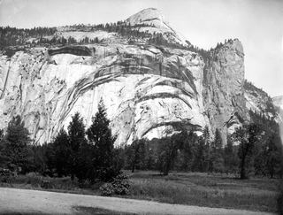 Royal Arch CascadeOfficial location note; parking and approach unknown1,247 ft (380 m) · Mariposa County, CA1.5 miE
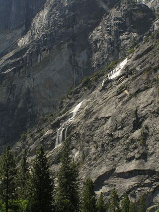 Staircase FallsResearched visit notes1,017 ft (310 m) · Mariposa County, CA1.9 miSE
- Sentinel FallPartial guide: viewing locations verified; parking and exact approach unknown.1,936 ft (590 m) · Mariposa County, CA2.2 miS
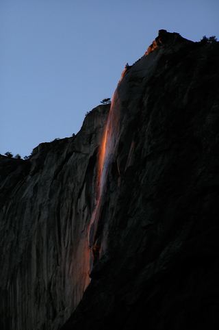 Horsetail FallDated February 2026 viewing route; confirm the next season's access plan.1,542 ft (470 m) · Mariposa County, CA2.5 miSW
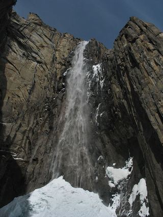 Ribbon FallResearched visit notes1,612 ft (491.4 m) · Mariposa County, CA3.1 miSW
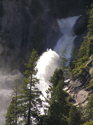 Snow Creek FallsNamed trail does not provide a waterfall view2,133 ft (650 m) · Mariposa County, CA3.4 miE