Royal Arch Cascade
Mariposa County, California
Your visit at a glance
- Waterfall height
- 1,247 ft (380 m)
- Location
- Mariposa County, California
- Access status
- Official location note; parking and approach unknown
- The walk
- Viewing approach unknown
- Ground & access
- Viewing-location note only; waterfall approach surface unknown.
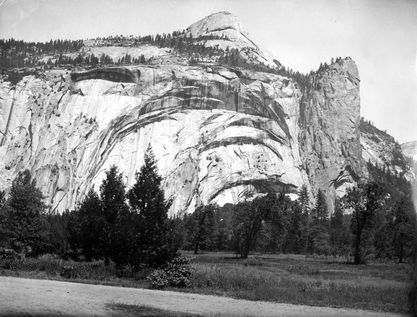
Photo credit
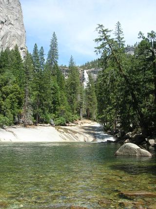
Photo: Matthes, Public domain, via Wikimedia CommonsThe NPS valley description identifies seasonal Royal Arches Cascade above the Ahwahnee, in its discussion of the view from Stoneman Meadow.
Plan your visit
Royal Arches Cascade location and distant view
No measured waterfall approach established.
Viewing-location note only; waterfall approach surface unknown.
Where to start
No source-verified parking-to-cascade route established.
Timing & water
NPS describes the cascade as seasonal; exact flow dates unknown.
Before you go
Current park entry arrangements not researched for this note.
Visitor informationVisit sources
More waterfalls nearby
Within 40 straight-line miles. Road and trail distances will differ.
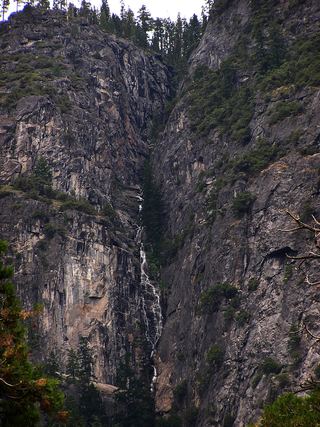 Lehamite FallsPartial guide: distant view only; no named viewpoint or parking1,181 ft (360 m) · Mariposa County, CA1.0 miNW
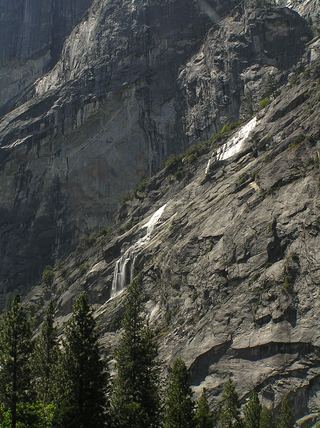 Staircase FallsResearched visit notes1,017 ft (310 m) · Mariposa County, CA1.0 miS
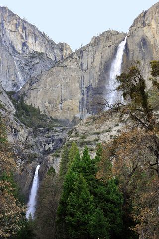 Lower Yosemite FallResearched visit notes320 ft lower fall · Mariposa County, CA1.4 miW
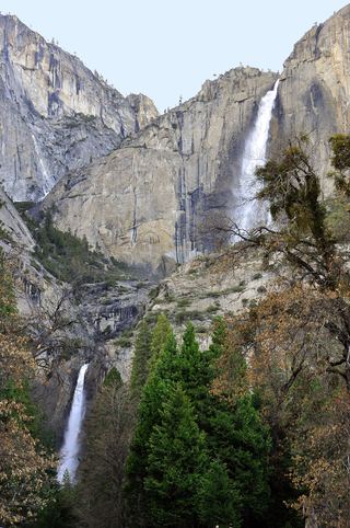 Middle CascadesSpecific viewpoint approach and parking unconfirmed676 ft (206 m) · Mariposa County, CA1.5 miW
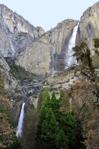 Upper Yosemite FallSource-reviewed route and parking1,444 ft (440 m) · Mariposa County, CA1.5 miW
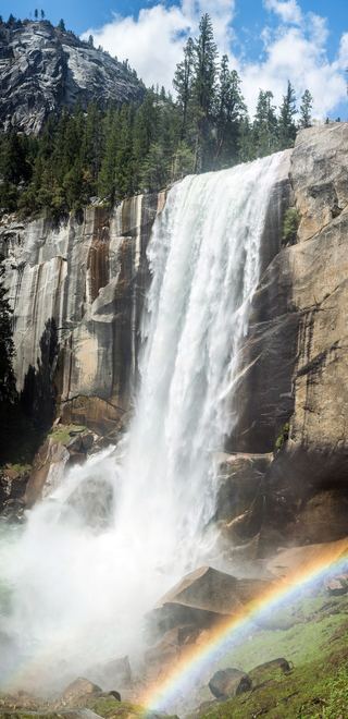 Vernal FallResearched visit notes318 ft (97 m) · Mariposa County, CA2.1 miSE
- Sentinel FallPartial guide: viewing locations verified; parking and exact approach unknown.1,936 ft (590 m) · Mariposa County, CA2.2 miSW
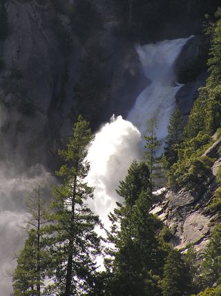 Snow Creek FallsNamed trail does not provide a waterfall view2,133 ft (650 m) · Mariposa County, CA2.3 miNE
 Silver ApronOfficial trail; weekday detour and winter closures applyMariposa County, CA2.3 miSE