Silver Apron
Mariposa County, California
Your visit at a glance
- Waterfall height
- Not recorded
- Location
- Mariposa County, California
- Access status
- Official trail; weekday detour and winter closures apply
- The walk
- About 2.4 miles return to the top of Vernal Fall, plus a short distance
- Ground & access
- Strenuous. About 1,000 feet of gain to the top of Vernal Fall. Steep wet granite steps and heavy spray in spring.
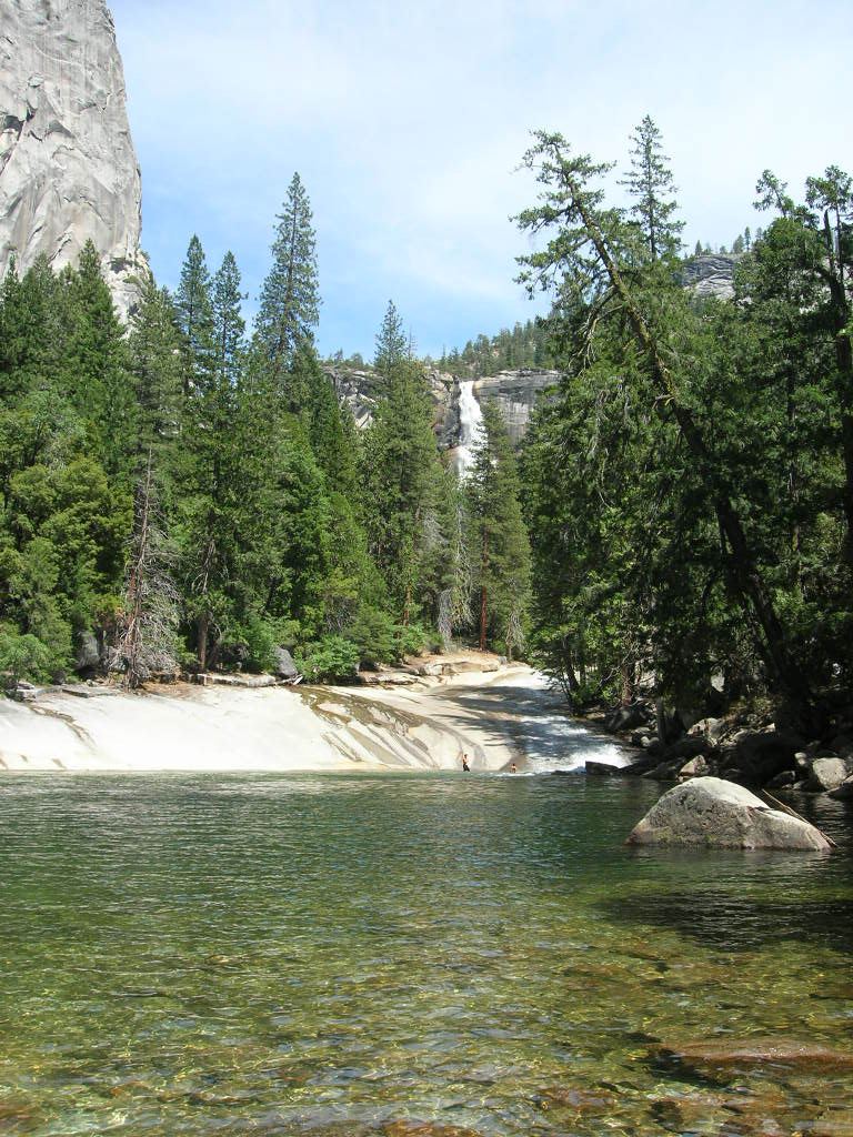
Photo credit
Photo: Phil Mieszkowski (talk · contribs), Public domain, via Wikimedia CommonsStart near Happy Isles (shuttle stop 16) in eastern Yosemite Valley. Follow the paved trail to the Vernal Fall Footbridge, then the Mist Trail up more than 600 granite steps to the top of Vernal Fall. NPS says the trail passes Emerald Pool and Silver Apron shortly beyond Vernal Fall. Swimming here is illegal and dangerous. Return the same way, or use the John Muir Trail.
Plan your visit
Happy Isles via the Mist Trail past the top of Vernal Fall to Silver Apron
NPS gives 2.4 miles round trip to the top of Vernal Fall via the Mist Trail. Silver Apron is a short distance farther; its exact added distance is not published.
Strenuous. About 1,000 feet of gain to the top of Vernal Fall. Steep wet granite steps and heavy spray in spring.
Where to start
The trailhead is at Happy Isles shuttle stop 16. Parking location not separately confirmed in the reviewed NPS page.
Timing & water
NPS said that from July 27 through October 2026 the Mist Trail above the footbridge junction is detoured Monday to Thursday, 7 am to 3:30 pm, with the John Muir Trail as the alternate. The lower Mist Trail closes in winter.
Before you go
Yosemite entrance pass required; NPS lists the standard pass at $20 to $35.
Visitor informationMore waterfalls nearby
Within 40 straight-line miles. Road and trail distances will differ.
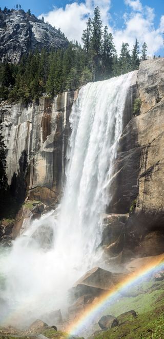 Vernal FallResearched visit notes318 ft (97 m) · Mariposa County, CA0.2 miW
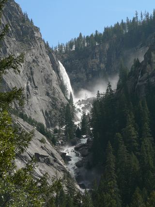
 Nevada FallOfficial park trail; strenuous594 ft (181 m) · Mariposa County, CA0.4 miE
 Illilouette FallPublished trail route documented; Glacier Point Road open when checked361 ft (110 m) · Mariposa County, CA1.4 miSW
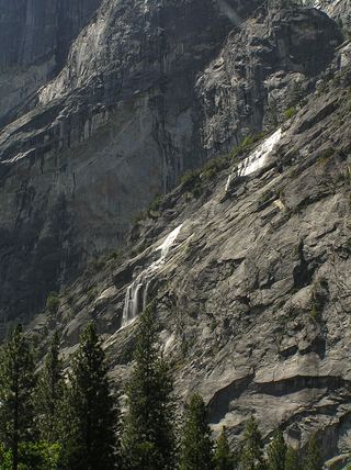 Staircase FallsResearched visit notes1,017 ft (310 m) · Mariposa County, CA1.9 miW
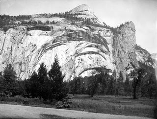 Royal Arch CascadeOfficial location note; parking and approach unknown1,247 ft (380 m) · Mariposa County, CA2.3 miNW
- Three Chute FallsMariposa County, CA2.3 miN
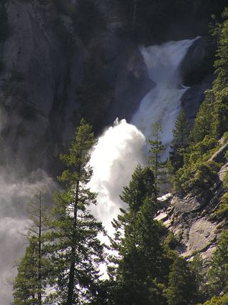 Snow Creek FallsNamed trail does not provide a waterfall view2,133 ft (650 m) · Mariposa County, CA2.7 miN
- Sentinel FallPartial guide: viewing locations verified; parking and exact approach unknown.1,936 ft (590 m) · Mariposa County, CA3.0 miW
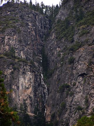 Lehamite FallsPartial guide: distant view only; no named viewpoint or parking1,181 ft (360 m) · Mariposa County, CA3.2 miNW