Nevada Fall
Mariposa County, California
Your visit at a glance
- Waterfall height
- 594 ft (181 m)
- Location
- Mariposa County, California
- Access status
- Official park trail; strenuous
- The walk
- 5.4 miles return via the Mist Trail (source figure)
- Ground & access
- Strenuous: about 2,000 feet of climbing, over 600 granite steps, wet and slippery in spring. Swimming above the falls is illegal and dangerous.
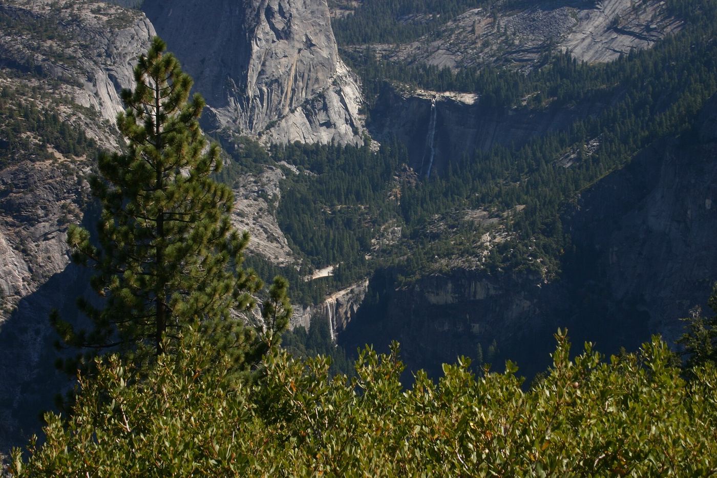
Photo credit
Photo: Public domain, via Wikimedia CommonsStart at Happy Isles. Climb the paved trail to the Vernal Fall footbridge, take the Mist Trail up granite steps past Vernal Fall, then continue 1.5 miles of steep switchbacks to the top of Nevada Fall. Cross the footbridge above the fall for a closer view. Return the same way or by the John Muir Trail.
Plan your visit
Happy Isles (shuttle stop 16) up the Mist Trail past Vernal Fall to the top of Nevada Fall
The National Park Service gives 5.4 miles round trip to the top of Nevada Fall via the Mist Trail. Returning on the John Muir Trail is longer.
Strenuous: about 2,000 feet of climbing, over 600 granite steps, wet and slippery in spring. Swimming above the falls is illegal and dangerous.
Where to start
No parking at the trailhead. Park at Curry Village, less than one mile away, or ride the valley shuttle to stop 16.
Timing & water
Open all year, but the lower Mist Trail closes in winter, and part of the John Muir Trail near the top closes in winter for ice. Check current trail conditions.
Before you go
No permit needed for this day hike. Park entrance rules apply.
Visitor informationVisit sources
More waterfalls nearby
Within 40 straight-line miles. Road and trail distances will differ.
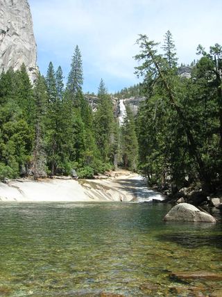 Silver ApronOfficial trail; weekday detour and winter closures applyMariposa County, CA0.4 miW
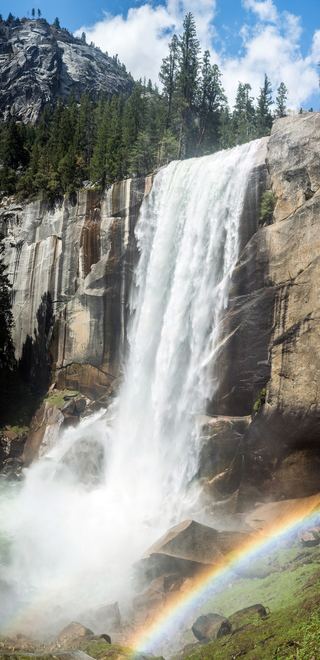 Vernal FallResearched visit notes318 ft (97 m) · Mariposa County, CA0.6 miW
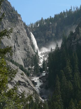 Illilouette FallPublished trail route documented; Glacier Point Road open when checked361 ft (110 m) · Mariposa County, CA1.7 miSW
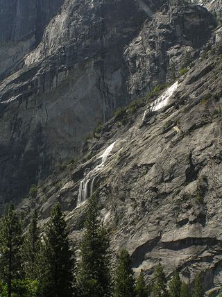 Staircase FallsResearched visit notes1,017 ft (310 m) · Mariposa County, CA2.4 miW
- Three Chute FallsMariposa County, CA2.4 miN
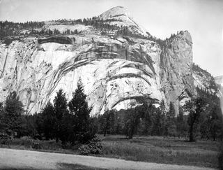 Royal Arch CascadeOfficial location note; parking and approach unknown1,247 ft (380 m) · Mariposa County, CA2.7 miNW
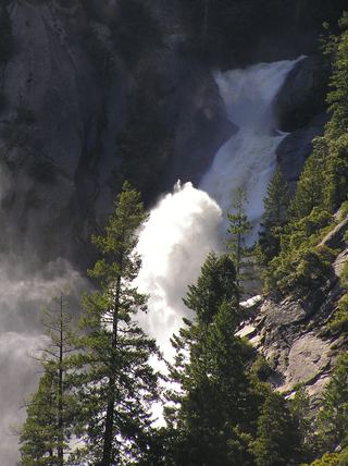 Snow Creek FallsNamed trail does not provide a waterfall view2,133 ft (650 m) · Mariposa County, CA2.8 miN
- Cascade FallPartial guide: trailhead parking and a single published distance are not confirmedMariposa County, CA3.0 miE
- Sentinel FallPartial guide: viewing locations verified; parking and exact approach unknown.1,936 ft (590 m) · Mariposa County, CA3.5 miW