Illilouette Fall
Mariposa County, California
Your visit at a glance
- Waterfall height
- 361 ft (110 m)
- Location
- Mariposa County, California
- Access status
- Published trail route documented; Glacier Point Road open when checked
- The walk
- About 4 miles return
- Ground & access
- Downhill all the way out and more than 1,000 feet of climbing on the return.
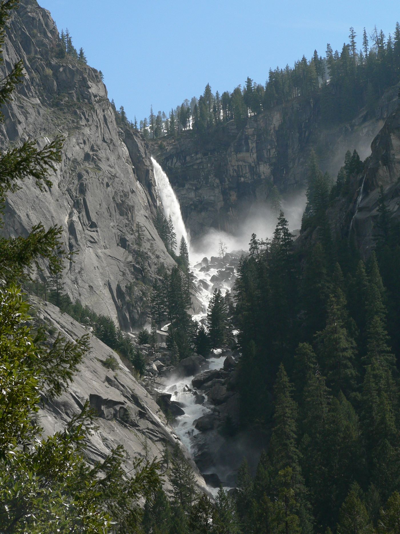
From the Panorama Trailhead at Glacier Point, walk down the Panorama Trail. The fall can be seen from points along the descent and best near where the trail crosses Illilouette Creek, about 2 miles down. Return the same way, climbing back up to Glacier Point.
Plan your visit
Panorama Trail from Glacier Point to the Illilouette Creek crossing
Source figure: Yosemite Mariposa County Tourism Bureau gives roughly 4 miles round trip to Illilouette Creek. A side trip to Panorama Point adds distance and about 400 feet of climbing.
Downhill all the way out and more than 1,000 feet of climbing on the return.
Where to start
Park at Glacier Point at the end of Glacier Point Road. The park conditions page showed Glacier Point Road open with no overnight parking along the road or in lots when checked.
Timing & water
Glacier Point Road closes in winter. The fall is hard to see and partly hidden from the trail; flow is best in spring and early summer.
Before you go
Yosemite National Park entrance requirements apply; current fees and reservation rules were not covered by the reviewed pages.
Visitor informationVisit sources
More waterfalls nearby
Within 40 straight-line miles. Road and trail distances will differ.
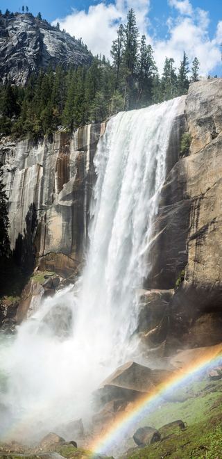 Vernal FallResearched visit notes318 ft (97 m) · Mariposa County, CA1.3 miNE
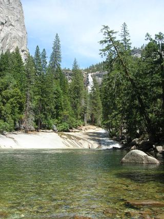 Silver ApronOfficial trail; weekday detour and winter closures applyMariposa County, CA1.4 miNE
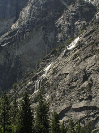 Staircase FallsResearched visit notes1,017 ft (310 m) · Mariposa County, CA1.6 miNW
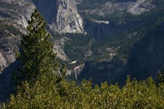 Nevada FallOfficial park trail; strenuous594 ft (181 m) · Mariposa County, CA1.7 miNE
- Sentinel FallPartial guide: viewing locations verified; parking and exact approach unknown.1,936 ft (590 m) · Mariposa County, CA2.1 miW
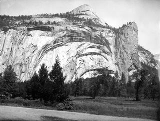 Royal Arch CascadeOfficial location note; parking and approach unknown1,247 ft (380 m) · Mariposa County, CA2.5 miN
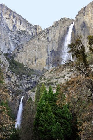 Lower Yosemite FallResearched visit notes320 ft lower fall · Mariposa County, CA3.2 miNW
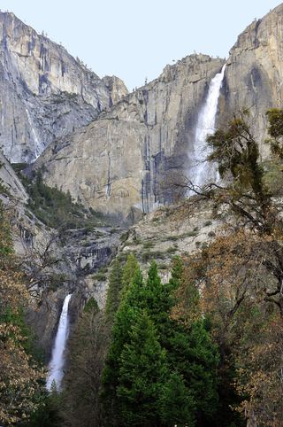 Middle CascadesSpecific viewpoint approach and parking unconfirmed676 ft (206 m) · Mariposa County, CA3.4 miNW
 Lehamite FallsPartial guide: distant view only; no named viewpoint or parking1,181 ft (360 m) · Mariposa County, CA3.5 miN