Middle Cascades
Mariposa County, California
Your visit at a glance
- Waterfall height
- 676 ft (206 m)
- Location
- Mariposa County, California
- Access status
- Specific viewpoint approach and parking unconfirmed
- The walk
- Walking distance not confirmed
- Ground & access
- Stay on designated trails. No source describes a trail to the middle cascades themselves.
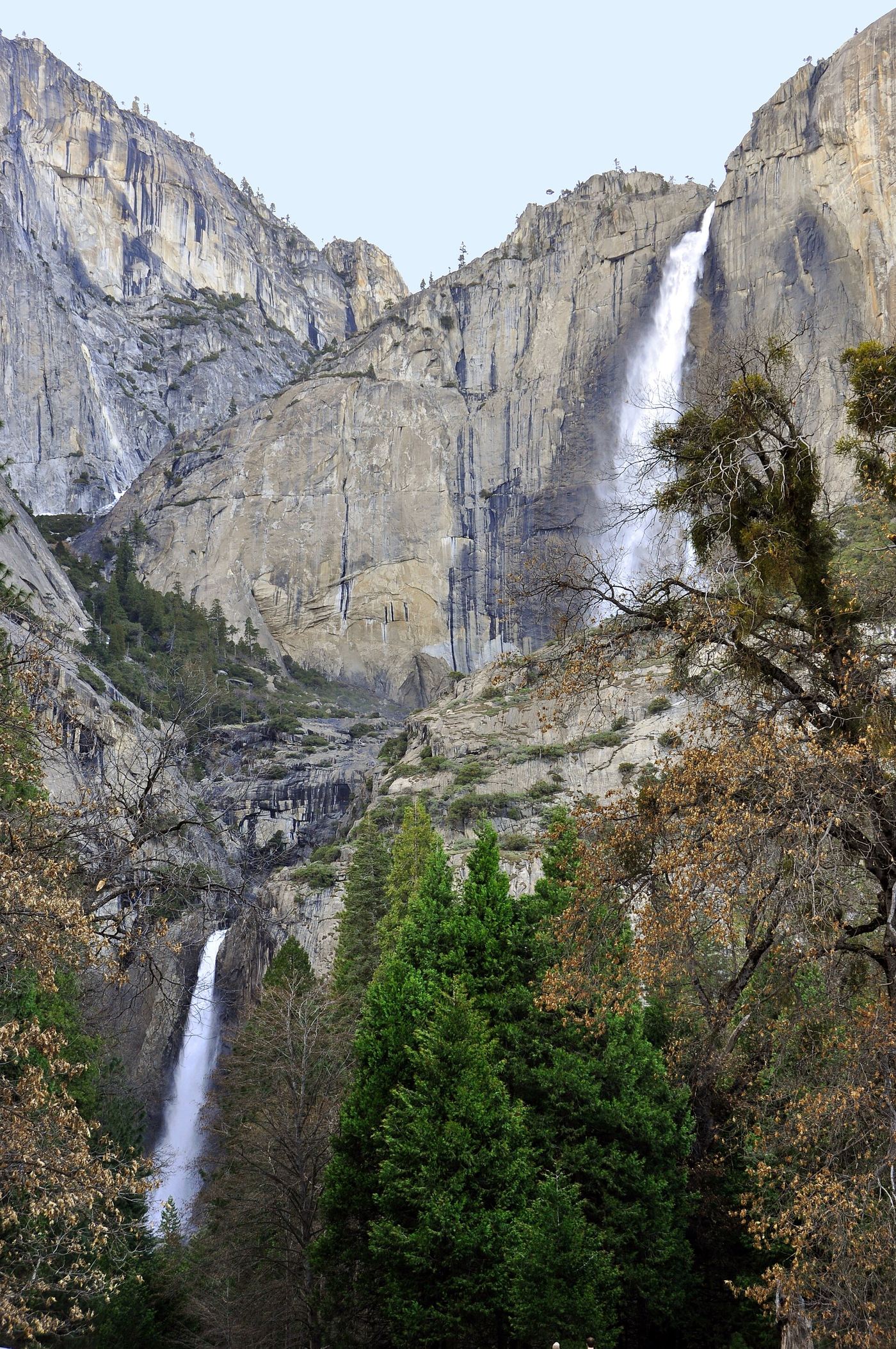
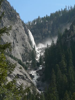
NPS explicitly says the middle cascades cannot be seen from the Lower Yosemite Fall base viewpoint. It directs visitors seeking the full waterfall view to Cook’s Meadow or the west side of the Lower Yosemite Fall loop.
Plan your visit
Distant Yosemite Falls views from Cook’s Meadow or the west loop viewpoint
A measured route and parking point for viewing the middle cascades specifically are not established. Lower-fall trail distances must not be presented as access to the middle cascades.
Stay on designated trails. No source describes a trail to the middle cascades themselves.
Where to start
A permitted parking location for visiting this waterfall has not been confirmed.
Timing & water
Snowmelt-dependent; the waterfall may be dry by late summer.
Before you go
Fees, permits and reservation requirements for this visit have not been confirmed; check with the land manager.
Visitor informationMore waterfalls nearby
Within 40 straight-line miles. Road and trail distances will differ.
 Upper Yosemite FallSource-reviewed route and parking1,444 ft (440 m) · Mariposa County, CA0.2 miN
 Lower Yosemite FallResearched visit notes320 ft lower fall · Mariposa County, CA0.2 miS
 Lehamite FallsPartial guide: distant view only; no named viewpoint or parking1,181 ft (360 m) · Mariposa County, CA1.2 miNE
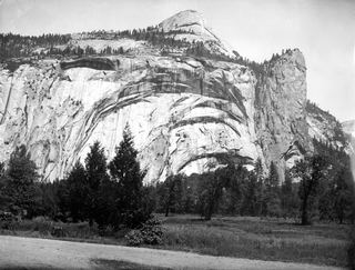 Royal Arch CascadeOfficial location note; parking and approach unknown1,247 ft (380 m) · Mariposa County, CA1.5 miE
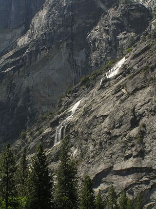 Staircase FallsResearched visit notes1,017 ft (310 m) · Mariposa County, CA1.8 miSE
- Sentinel FallPartial guide: viewing locations verified; parking and exact approach unknown.1,936 ft (590 m) · Mariposa County, CA2.0 miS
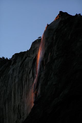 Horsetail FallDated February 2026 viewing route; confirm the next season's access plan.1,542 ft (470 m) · Mariposa County, CA2.3 miSW
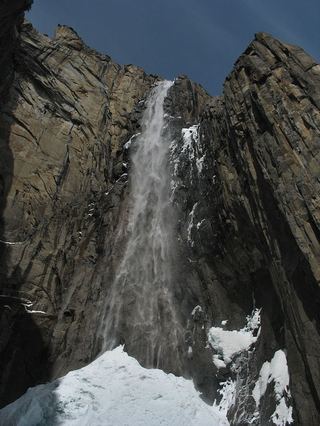 Ribbon FallResearched visit notes1,612 ft (491.4 m) · Mariposa County, CA3.0 miSW
 Illilouette FallPublished trail route documented; Glacier Point Road open when checked361 ft (110 m) · Mariposa County, CA3.4 miSE