Cascade Fall
Mariposa County, California
Your visit at a glance
- Waterfall height
- Not recorded
- Location
- Mariposa County, California
- Access status
- Partial guide: trailhead parking and a single published distance are not confirmed
- The walk
- Long day hike: more than 4 and less than about 7.25 miles one way (derived range)
- Ground & access
- Steep climb of about 2,000 feet from Yosemite Valley to Little Yosemite Valley, then a mostly forested trail along the river with little elevation change. River and pool edges are on smooth granite.
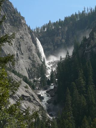
Cascade Fall is where the Merced River slides over granite between Sugar Loaf and Bunnell Point into a pool at the east end of Little Yosemite Valley. Climb to Little Yosemite Valley by the Mist Trail or the John Muir Trail, then follow the signed Merced Lake Trail upriver past the campground. This is not Bunnell Cascade, which is farther upriver beyond a footbridge.
Plan your visit
Yosemite Valley trailhead via the Mist Trail or John Muir Trail to Little Yosemite Valley, then the Merced Lake Trail upriver to the head of the valley
No source gives one trailhead-to-falls figure. Wikipedia puts the Little Yosemite Valley campground a little under 4 miles from the Yosemite Valley trailhead, and gives 3.25 trail miles from the top of Nevada Fall to the pool at the base of Cascade Fall. The range above is derived from those two figures.
Steep climb of about 2,000 feet from Yosemite Valley to Little Yosemite Valley, then a mostly forested trail along the river with little elevation change. River and pool edges are on smooth granite.
Where to start
Trailhead parking for the Mist Trail and John Muir Trail in Yosemite Valley was not confirmed in this research. Check the National Park Service for where to park and for shuttle service.
Timing & water
NPS says snow is usually in the park from November through May. Current trail conditions were not checked.
Before you go
NPS: no wilderness permit is needed for a day hike (except to Half Dome). Any overnight stay needs a wilderness permit, and Little Yosemite Valley permits are the hardest to get. Park entrance fees and any vehicle reservation rules were not checked.
Visitor informationVisit sources
More waterfalls nearby
Within 40 straight-line miles. Road and trail distances will differ.
- Bunnell CascadeLong established trail route; very long day or overnightMariposa County, CA0.8 miNE
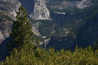 Nevada FallOfficial park trail; strenuous594 ft (181 m) · Mariposa County, CA3.0 miW
- Three Chute FallsMariposa County, CA3.1 miNW
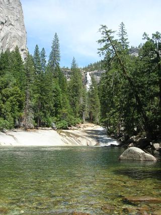 Silver ApronOfficial trail; weekday detour and winter closures applyMariposa County, CA3.3 miW
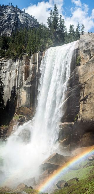 Vernal FallResearched visit notes318 ft (97 m) · Mariposa County, CA3.5 miW
- Pywiack CascadeDistant viewpoint only; the cascade is not reached on foot591 ft (180 m) · Mariposa County, CA3.5 miN
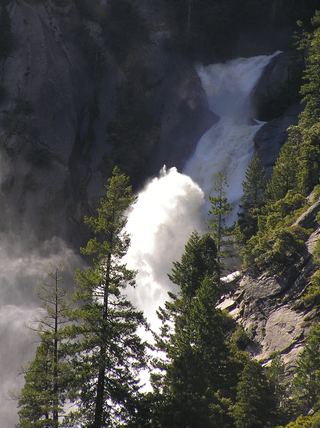 Snow Creek FallsNamed trail does not provide a waterfall view2,133 ft (650 m) · Mariposa County, CA3.6 miNW
 Illilouette FallPublished trail route documented; Glacier Point Road open when checked361 ft (110 m) · Mariposa County, CA4.7 miW
- Tenaya Creek WaterslideMariposa County, CA4.8 miN