Pywiack Cascade
Mariposa County, California
Your visit at a glance
- Waterfall height
- 591 ft (180 m)
- Location
- Mariposa County, California
- Access status
- Distant viewpoint only; the cascade is not reached on foot
- The walk
- Short paved walk from Glacier Point parking; distance not stated
- Ground & access
- Paved, wheelchair-accessible path at Glacier Point. Do not attempt to enter Tenaya Canyon.
Pywiack Cascade is in Tenaya Canyon, which is not safely reached on foot. World of Waterfalls describes spotting it from the Glacier Point lookout, looking deep into Tenaya Canyon beyond Half Dome, and needing a telephoto lens to photograph it. A similar but more distant view is from the summit of Sentinel Dome.
Plan your visit
Glacier Point overlook, distant view up Tenaya Canyon to Pywiack Cascade
NPS describes a short, paved, wheelchair-accessible trail from the Glacier Point parking area. The cascade itself is miles away and seen only at a distance.
Paved, wheelchair-accessible path at Glacier Point. Do not attempt to enter Tenaya Canyon.
Where to start
Glacier Point parking area at the end of Glacier Point Road, about 30 miles (one hour) from Yosemite Valley or Wawona.
Timing & water
Glacier Point Road is open to cars approximately late May through October or November. The cascade flows strongest in spring and early summer.
Before you go
Yosemite entrance fee applies ($35 per private vehicle per NPS). Check NPS for any entry reservation rules.
Visitor informationVisit sources
More waterfalls nearby
Within 40 straight-line miles. Road and trail distances will differ.
- Tenaya Creek WaterslideMariposa County, CA1.7 miNE
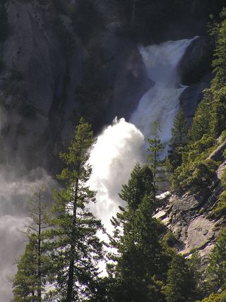 Snow Creek FallsNamed trail does not provide a waterfall view2,133 ft (650 m) · Mariposa County, CA2.9 miSW
- Three Chute FallsMariposa County, CA3.0 miSW
- Bunnell CascadeLong established trail route; very long day or overnightMariposa County, CA3.1 miS
- Cascade FallPartial guide: trailhead parking and a single published distance are not confirmedMariposa County, CA3.5 miS
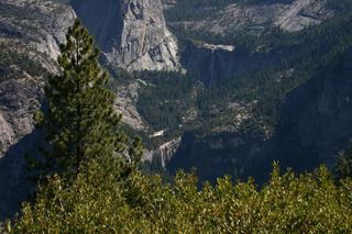 Nevada FallOfficial park trail; strenuous594 ft (181 m) · Mariposa County, CA5.0 miSW
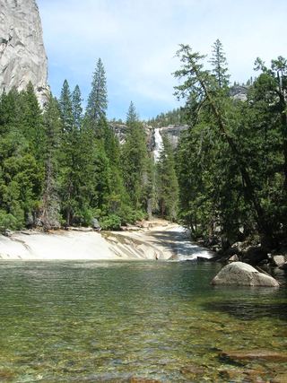 Silver ApronOfficial trail; weekday detour and winter closures applyMariposa County, CA5.1 miSW
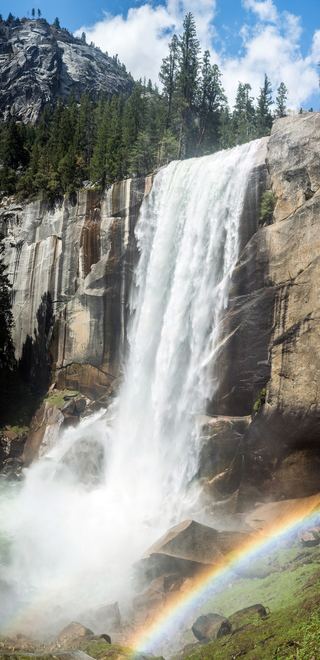 Vernal FallResearched visit notes318 ft (97 m) · Mariposa County, CA5.1 miSW
 Royal Arch CascadeOfficial location note; parking and approach unknown1,247 ft (380 m) · Mariposa County, CA5.2 miSW