Tenaya Creek Waterslide
Mariposa County, California
Your visit at a glance
- Waterfall height
- Not recorded
- Location
- Mariposa County, California
- Ground elevation
- About 7,779 ft above sea level
- Nearby mapped stream
- Tenaya Creek
- Land
- Yosemite National Park
- Nearby mapped access
- Mapped trailhead (route unconfirmed)
A nearby mapped parking area or trailhead may not connect to this waterfall. Confirm the route and public access before travelling.
Tenaya Creek Waterslide is mapped in Mariposa County, California, 7.4 miles northeast of Yosemite Valley. This entry shows its location and nearby mapped places; a visitor route has not been confirmed.
About this location
Land & access
The land ownership record at this location lists Yosemite National Park. The listed manager is National Park Service. The land record lists public access. Check the manager’s current visitor information for permitted routes and closures.
Water & terrain
Tenaya Creek is mapped within 60 metres (about 200 feet) of the waterfall. Proximity alone does not confirm which stream feeds the falls.
Ground elevation is the land’s height above sea level, not the waterfall’s drop.
Sources for these details
Nearby streams and paths: OpenStreetMap. Land names: USGS PAD-US ownership records, with planning boundaries used only where ownership has no usable name. Ground elevation: USGS 3D Elevation Program.
Map records do not verify a walking route or current access conditions.
Before you make the trip
The closest mapped trailhead is 1.0 mi away in a straight line. This is not a walking distance.
Trail length, parking rules and current conditions have not been confirmed for this entry.
More waterfalls nearby
Within 40 straight-line miles. Road and trail distances will differ.
- Pywiack CascadeDistant viewpoint only; the cascade is not reached on foot591 ft (180 m) · Mariposa County, CA1.7 miSW
- Bunnell CascadeLong established trail route; very long day or overnightMariposa County, CA4.1 miS
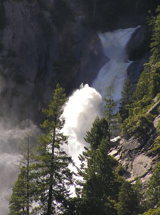 Snow Creek FallsNamed trail does not provide a waterfall view2,133 ft (650 m) · Mariposa County, CA4.5 miSW
- Three Chute FallsMariposa County, CA4.6 miSW
- Cascade FallPartial guide: trailhead parking and a single published distance are not confirmedMariposa County, CA4.8 miS
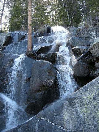 Quaking Aspen FallsApproach or parking partly unconfirmedMariposa County, CA6.2 miNW
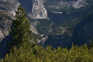 Nevada FallOfficial park trail; strenuous594 ft (181 m) · Mariposa County, CA6.6 miSW
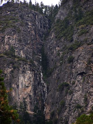 Lehamite FallsPartial guide: distant view only; no named viewpoint or parking1,181 ft (360 m) · Mariposa County, CA6.7 miSW
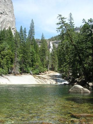 Silver ApronOfficial trail; weekday detour and winter closures applyMariposa County, CA6.7 miSW