Bunnell Cascade
Mariposa County, California
Your visit at a glance
- Waterfall height
- Not recorded
- Location
- Mariposa County, California
- Access status
- Long established trail route; very long day or overnight
- The walk
- About 17.8 miles return (source figure for a day hike)
- Ground & access
- Long climb with steep rocky sections. The Merced Lake Trail section near the cascade is called extremely dangerous in winter. Parts of the route passed through areas burned by the 2014 Meadow Fire.
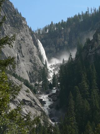
Bunnell Cascade is on the Merced River above Little Yosemite Valley, on the Merced Lake Trail. Walk from Curry Village to Happy Isles, climb past Vernal Fall and Nevada Fall, continue through Little Yosemite Valley, and follow the Merced Lake Trail upriver to the cascade below Bunnell Point. This is a very long day hike or an overnight trip.
Plan your visit
Curry Village to Happy Isles, up the John Muir Trail past Vernal and Nevada falls, then the Merced Lake Trail through Little Yosemite Valley to Bunnell Cascade
Sierra News Online gives 17.8 miles for a day hike from the Curry Village backpacker parking lot via the John Muir Trail to the foot of Bunnell Cascade near Bunnell Point and back. Using the Mist Trail shortens it slightly.
Long climb with steep rocky sections. The Merced Lake Trail section near the cascade is called extremely dangerous in winter. Parts of the route passed through areas burned by the 2014 Meadow Fire.
Where to start
Sierra News Online parked in the backpacker parking lot east of the Curry Village day-use lot. Park at Curry Village if no trailhead parking is available.
Timing & water
Winter travel on this section is not recommended. Snow and ice can remain on the trail into spring.
Before you go
Yosemite says a wilderness permit is not needed for day hikes, except Half Dome. An overnight trip needs a wilderness permit. Park entrance rules apply.
Visitor informationVisit sources
More waterfalls nearby
Within 40 straight-line miles. Road and trail distances will differ.
- Cascade FallPartial guide: trailhead parking and a single published distance are not confirmedMariposa County, CA0.8 miSW
- Pywiack CascadeDistant viewpoint only; the cascade is not reached on foot591 ft (180 m) · Mariposa County, CA3.1 miN
- Three Chute FallsMariposa County, CA3.4 miW
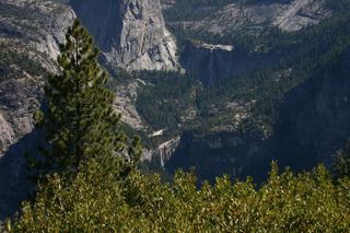 Nevada FallOfficial park trail; strenuous594 ft (181 m) · Mariposa County, CA3.7 miW
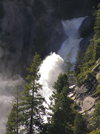 Snow Creek FallsNamed trail does not provide a waterfall view2,133 ft (650 m) · Mariposa County, CA3.8 miW
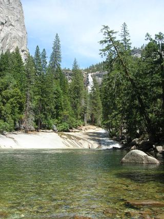 Silver ApronOfficial trail; weekday detour and winter closures applyMariposa County, CA4.0 miW
- Tenaya Creek WaterslideMariposa County, CA4.1 miN
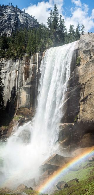 Vernal FallResearched visit notes318 ft (97 m) · Mariposa County, CA4.2 miW
 Illilouette FallPublished trail route documented; Glacier Point Road open when checked361 ft (110 m) · Mariposa County, CA5.4 miSW