Waterwheel Falls
Tuolumne County, California
Your visit at a glance
- Waterfall height
- Not recorded
- Location
- Tuolumne County, California
- Access status
- Official long route; Tioga Road seasonal access
- The walk
- About 19 miles return
- Ground & access
- Long and strenuous. Several unbridged stream crossings; water can be high, cold and swift early in the season. Elevation is regained on the return.
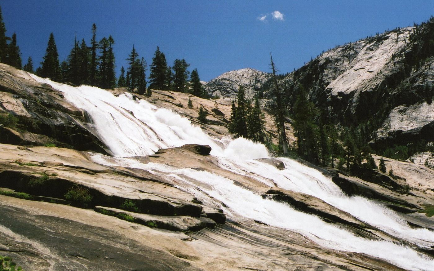
Start from the Lembert Dome parking area in Tuolumne Meadows. Follow the Tuolumne River 5.5 miles down to Glen Aulin, then about 4 miles farther into the Grand Canyon of the Tuolumne to Waterwheel Falls. Return the same way, climbing back up. This is a very long day hike or an overnight trip.
Plan your visit
Glen Aulin Trailhead near Lembert Dome, Tuolumne Meadows, via Glen Aulin to Waterwheel Falls
NPS day hikes page gives 5.5 miles to Glen Aulin, then 4 more miles, for a 19-mile total round trip. The NPS backpacking page lists 20.6 miles round trip.
Long and strenuous. Several unbridged stream crossings; water can be high, cold and swift early in the season. Elevation is regained on the return.
Where to start
Lembert Dome parking area. NPS says overnight parking on Tioga Road ends October 15.
Timing & water
The trailhead is reachable by vehicle only when Tioga Road is open, typically late May or early June to October or November.
Before you go
Yosemite entrance pass required; NPS lists the standard pass at $20 to $35. Overnight trips need a wilderness permit; NPS lists permit demand as high.
Visitor informationVisit sources
More waterfalls nearby
Within 40 straight-line miles. Road and trail distances will differ.
- LeConte FallsOfficial trail route; long day hike, exact distance not publishedTuolumne County, CA0.5 miSE
- California FallsPartial guide: exact distance to California Falls and trailhead parking not confirmedTuolumne County, CA1.3 miSE
- Upper Cathedral Creek FallsTuolumne County, CA2.3 miW
- Lower Cathedral Creek FallsTuolumne County, CA2.3 miW
- White CascadeOfficial trail distance and road season documented; seasonal roadTuolumne County, CA2.5 miSE
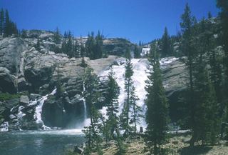 Tuolumne FallsOfficial trail distance and road season documented; seasonal roadTuolumne County, CA2.7 miSE
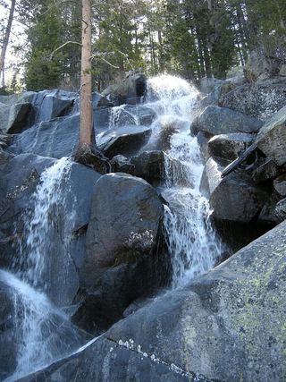 Quaking Aspen FallsApproach or parking partly unconfirmedMariposa County, CA8.2 miSW
- Tenaya Creek WaterslideMariposa County, CA8.4 miS
- Pywiack CascadeDistant viewpoint only; the cascade is not reached on foot591 ft (180 m) · Mariposa County, CA9.8 miS