Wapama Falls
Tuolumne County, California
Your visit at a glance
- Waterfall height
- 1,286 ft (392 m)
- Location
- Tuolumne County, California
- Access status
- Researched walking route
- The walk
- 5 miles return
- Ground & access
- Moderate ups and downs; substantial waterfall mist in spring and early summer.
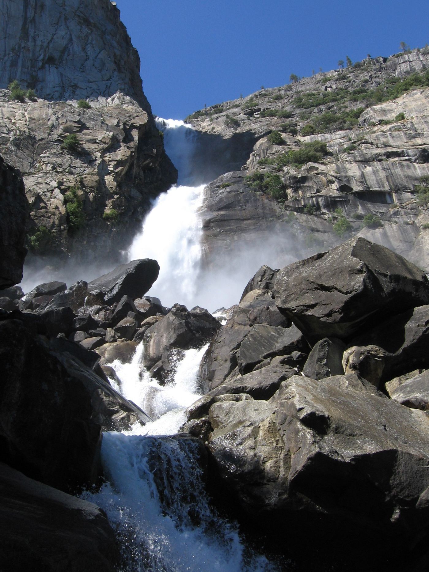
Reservoir-shore hike from the dam to Wapama Falls. Expect repeated uphill and downhill sections.
Plan your visit
From O’Shaughnessy Dam, pass through the tunnel and follow the reservoir shoreline trail to Wapama Falls. Return the same way.
NPS explicitly lists 5 miles round-trip and 507 feet of elevation gain for Wapama Falls.
Moderate ups and downs; substantial waterfall mist in spring and early summer.
Where to start
Hetch Hetchy main parking at O’Shaughnessy Dam. NPS documents the main parking area in its accessibility guide and warns that parking can fill at midday on weekends. Access via Hetch Hetchy Road from Highway 120 near Big Oak Flat.
Timing & water
Road open sunrise to sunset. November–March snow or ice may cause closures or chain requirements. Waterfalls can diminish or dry by late summer.
Before you go
Current park entry charges not verified; overnight hikes require a wilderness permit.
Visitor informationVisit sources
More waterfalls nearby
Within 40 straight-line miles. Road and trail distances will differ.
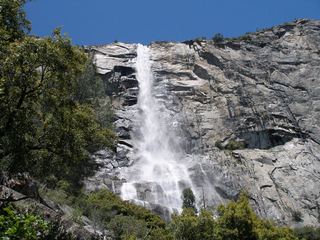 Tueeulala FallsPartial guide: shoreline viewing route verified; exact viewpoint and parking approach unknown.915 ft (279 m) · Tuolumne County, CA0.5 miSW
 Rancheria FallsOfficial NPS trail; long day hike or overnightTuolumne County, CA3.2 miE
- Preston FallsNational forest trailTuolumne County, CA8.5 miSW
- Jawbone FallsPartial guide: exact drop, viewing spot and parking are not confirmedTuolumne County, CA12 miW
- Carlon FallsResearched walking routeTuolumne County, CA12 miS
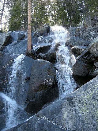 Quaking Aspen FallsApproach or parking partly unconfirmedMariposa County, CA14 miSE
- Lower Cathedral Creek FallsTuolumne County, CA15 miE
- Upper Cathedral Creek FallsTuolumne County, CA15 miE
- Upper CascadesMariposa County, CA17 miS