Jawbone Falls
Tuolumne County, California
Your visit at a glance
- Waterfall height
- Not recorded
- Location
- Tuolumne County, California
- Access status
- Partial guide: exact drop, viewing spot and parking are not confirmed
- The walk
- Drive-up; walking distance from the road not published
- Ground & access
- Forest roads; the 2012 visitor found the roads paved. Snow can remain on the roads in spring at higher elevations.
A visitor review from April 2019 gives forest road directions from Tuolumne: 1N04 to 2N22, 2N22 to its end at 2N08Y, then right for about 1 mile with the falls on the right. A 2012 photographer reached Jawbone Falls by paved forest roads off Cherry Lake Road and describes it as a 52-foot horsetail fall. There are other falls on Jawbone Creek; the sources do not give coordinates, so the exact drop is not confirmed.
Plan your visit
From Tuolumne, Forest Road 1N04 to Forest Road 2N22, then right on 2N08Y about 1 mile; falls on the right
The 1-mile figure is driving distance on Forest Road 2N08Y from a 2019 visitor review, not a walk. No source gives a walking distance.
Forest roads; the 2012 visitor found the roads paved. Snow can remain on the roads in spring at higher elevations.
Where to start
No parking area is described. The visitor review mentions camping next to Jawbone Creek; pack out all trash. The exact pull-out was not confirmed.
Timing & water
Best early in spring. The 2012 visitor says Jawbone Creek has a small drainage and drops to a trickle once the snow melts. Current road status was not checked.
Before you go
No fee or permit information was found.
Visitor informationVisit sources
More waterfalls nearby
Within 40 straight-line miles. Road and trail distances will differ.
- Preston FallsNational forest trailTuolumne County, CA9.9 miSE
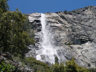 Tueeulala FallsPartial guide: shoreline viewing route verified; exact viewpoint and parking approach unknown.915 ft (279 m) · Tuolumne County, CA11 miE
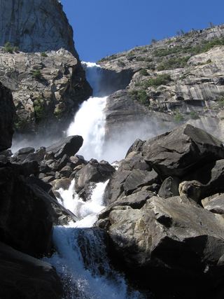 Wapama FallsResearched walking route1,286 ft (392 m) · Tuolumne County, CA12 miE
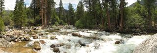 Rancheria FallsOfficial NPS trail; long day hike or overnightTuolumne County, CA15 miE
- Carlon FallsResearched walking routeTuolumne County, CA16 miSE
- Diana FallsPartial guide: trailhead location documented; parking space and rules not described20 ft (6 m) · Mariposa County, CA19 miS
- Little Nellie FallsPublished visitor route on Old Coulterville Road; park entrance feeMariposa County, CA22 miSE
- Upper CascadesMariposa County, CA24 miSE
- The CascadesRoadside viewing area documented; park entrance fee appliesMariposa County, CA24 miSE