Little Nellie Falls
Mariposa County, California
Your visit at a glance
- Waterfall height
- Not recorded
- Location
- Mariposa County, California
- Access status
- Published visitor route on Old Coulterville Road; park entrance fee
- The walk
- Approximately 5.6 miles return
- Ground & access
- Wide, fairly smooth old road that climbs steadily but not steeply, about 320 feet of gain per Yosemitehikes.com. There is no bridge to the picnic table across the creek from the falls. Dogs are not allowed on the park section of the route.
Park at the small area where Old Coulterville Road forks off the Foresta road near Big Meadow. Walk the right fork, which is Old Coulterville Road, past the south side of Big Meadow and over the Crane Creek bridge, which is closed to cars. Turn right at the first three forks; a sign at the third fork points to Little Nellie Falls. Stay on the main left road at the fourth fork. The falls are beside the road just outside the park boundary in Stanislaus National Forest. Return the same way.
Plan your visit
Old Coulterville Road fork near Big Meadow, Foresta, to Little Nellie Falls
Yosemitehikes.com gives 5.6 miles round trip from the parking area at the road fork. A January 2018 Sierra News Online account recorded 9.05 miles for its outing and does not explain the difference.
Wide, fairly smooth old road that climbs steadily but not steeply, about 320 feet of gain per Yosemitehikes.com. There is no bridge to the picnic table across the creek from the falls. Dogs are not allowed on the park section of the route.
Where to start
Small unofficial parking area at the fork of Old Coulterville Road and the Foresta road, with roadside parking if it is full, per Yosemitehikes.com. No restrooms at the start.
Timing & water
Best flow in April and May per Yosemitehikes.com. The NPS conditions page updated October 23, 2026 lists Big Oak Flat Road open with weekday 15-minute delays for work between Foresta and Big Oak Flat. Current status of Old Coulterville Road was not stated.
Before you go
Driving to Foresta requires a Yosemite entrance pass. The NPS lists $35 per private vehicle, valid seven days, and the park does not accept cash. Check nps.gov for any reservation requirement.
Visitor informationVisit sources
More waterfalls nearby
Within 40 straight-line miles. Road and trail distances will differ.
- Foresta FallsVisitor-documented walk on old Foresta Road; small pull-offMariposa County, CA2.3 miSE
- Wildcat FallsPublished roadside turnout and short path documented; park entrance fee applies623 ft (190 m) · Mariposa County, CA3.6 miE
- Upper CascadesMariposa County, CA3.9 miE
- The CascadesRoadside viewing area documented; park entrance fee appliesMariposa County, CA3.9 miE
- Chinquapin FallsMariposa County, CA4.0 miS
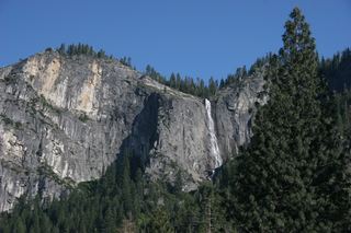 Silver Strand FallsPartial guide: viewpoint from a travel company guide, not confirmed by NPS574 ft (175 m) · Mariposa County, CA6.3 miE
- Carlon FallsResearched walking routeTuolumne County, CA6.6 miNW
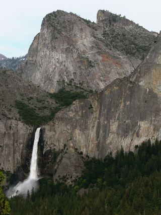 Bridalveil FallSource-reviewed route and parking617 ft (188 m) · Mariposa County, CA7.5 miE
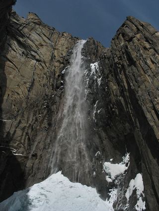 Ribbon FallResearched visit notes1,612 ft (491.4 m) · Mariposa County, CA7.5 miE