Foresta Falls
Mariposa County, California
Your visit at a glance
- Waterfall height
- Not recorded
- Location
- Mariposa County, California
- Access status
- Visitor-documented walk on old Foresta Road; small pull-off
- The walk
- About 1.7 miles return
- Ground & access
- Old dirt road with gentle grades through a burned area. Upper cascades are off-trail and not recommended.
From Big Oak Flat Road, follow Foresta Road about 2.5 miles to where the pavement ends at a sign reading Road Closed Ahead Bridge Out. Walk the old dirt road past cascades on Crane Creek and a switchback at about half a mile, then down to a concrete bridge with the 60-foot falls on the left. Return the same way.
Plan your visit
End of pavement on Foresta Road to the concrete bridge below Foresta Falls
Live and Let Hike (April 2021 visit): bridge reached at about 0.85 mile; roughly 1.7 miles out and back.
Old dirt road with gentle grades through a burned area. Upper cascades are off-trail and not recommended.
Where to start
Pull-off on the right where the pavement ends, with room for about 2 to 3 cars. The source says to park farther back on Foresta Road if full. Foresta is a private-property enclave inside the park; respect private land.
Timing & water
Best in spring. Flow drops later in the year.
Before you go
Yosemite National Park entrance rules and fees apply; amounts and any reservation rules not confirmed here.
Visitor informationVisit sources
More waterfalls nearby
Within 40 straight-line miles. Road and trail distances will differ.
- Chinquapin FallsMariposa County, CA1.8 miS
- Little Nellie FallsPublished visitor route on Old Coulterville Road; park entrance feeMariposa County, CA2.3 miNW
- Wildcat FallsPublished roadside turnout and short path documented; park entrance fee applies623 ft (190 m) · Mariposa County, CA3.2 miNE
- The CascadesRoadside viewing area documented; park entrance fee appliesMariposa County, CA3.5 miNE
- Upper CascadesMariposa County, CA3.6 miNE
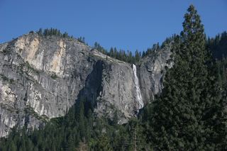 Silver Strand FallsPartial guide: viewpoint from a travel company guide, not confirmed by NPS574 ft (175 m) · Mariposa County, CA5.0 miE
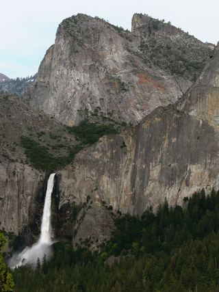 Bridalveil FallSource-reviewed route and parking617 ft (188 m) · Mariposa County, CA6.4 miE
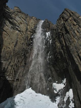 Ribbon FallResearched visit notes1,612 ft (491.4 m) · Mariposa County, CA6.8 miNE
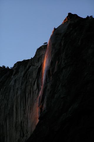 Horsetail FallDated February 2026 viewing route; confirm the next season's access plan.1,542 ft (470 m) · Mariposa County, CA7.7 miE