Wildcat Falls
Mariposa County, California
Your visit at a glance
- Waterfall height
- 623 ft (190 m)
- Location
- Mariposa County, California
- Access status
- Published roadside turnout and short path documented; park entrance fee applies
- The walk
- About 140 yards each way; 0.15 miles round trip
- Ground & access
- Short unmaintained path with brush and large rocks along the creek bank.
Only the lower 50-foot tier of Wildcat Falls is seen on this short walk. From the turnout on the north side of El Portal Road, an unmarked path crosses a small meadow, enters a thicket and drops to Wildcat Creek below the falls. Walk up the creek bank to the base. Return the same way.
Plan your visit
El Portal Road (Highway 140) turnout west of the Cascades to the base of Wildcat Falls
Hikespeak gives a 140-yard path and 0.15 miles round trip.
Short unmaintained path with brush and large rocks along the creek bank.
Where to start
Turnout on the north side of El Portal Road, 2.7 miles past the Arch Rock Entrance and about 0.2 miles west of the larger Cascades parking area.
Timing & water
Wildcat Creek is fed by snowmelt and usually dries by mid-summer. Spring is best.
Before you go
A Yosemite entrance pass is required. Check the park site for any seasonal reservation rules.
Visitor informationVisit sources
More waterfalls nearby
Within 40 straight-line miles. Road and trail distances will differ.
- The CascadesRoadside viewing area documented; park entrance fee appliesMariposa County, CA0.3 miNE
- Upper CascadesMariposa County, CA0.4 miNE
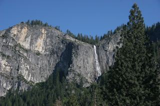 Silver Strand FallsPartial guide: viewpoint from a travel company guide, not confirmed by NPS574 ft (175 m) · Mariposa County, CA2.9 miSE
- Foresta FallsVisitor-documented walk on old Foresta Road; small pull-offMariposa County, CA3.2 miSW
- Little Nellie FallsPublished visitor route on Old Coulterville Road; park entrance feeMariposa County, CA3.6 miW
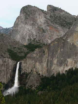 Bridalveil FallSource-reviewed route and parking617 ft (188 m) · Mariposa County, CA3.9 miE
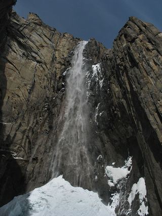 Ribbon FallResearched visit notes1,612 ft (491.4 m) · Mariposa County, CA3.9 miE
- Chinquapin FallsMariposa County, CA4.4 miSW
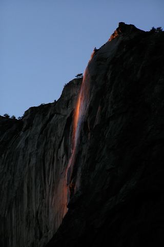 Horsetail FallDated February 2026 viewing route; confirm the next season's access plan.1,542 ft (470 m) · Mariposa County, CA4.9 miE