Carlon Falls
Tuolumne County, California
Your visit at a glance
- Waterfall height
- Not recorded
- Location
- Tuolumne County, California
- Access status
- Researched walking route
- The walk
- About 2.8 miles return
- Ground & access
- CalWild rates it moderate and notes possible downed trees or overgrowth. No pets or bicycles in Yosemite Wilderness.
The trail follows the South Fork of the Tuolumne River into Yosemite Wilderness.
Plan your visit
Carlon Falls Trail along the South Fork Tuolumne River
USFS: 1.4 miles one-way, about 2.8 miles round-trip. CalWild estimates 1.45 miles each way.
CalWild rates it moderate and notes possible downed trees or overgrowth. No pets or bicycles in Yosemite Wilderness.
Where to start
Trailhead parking is identified by CalWild near the Carlon Day Use Area on Evergreen Road off Highway 120.
Timing & water
USFS warns of seasonal road closures and snow; CalWild suggests April–October.
Before you go
USFS lists a $10 day-use vehicle fee. CalWild’s 2023 article distinguishes free hiking-only trailhead parking; that exemption is not currently confirmed.
Visitor informationMore waterfalls nearby
Within 40 straight-line miles. Road and trail distances will differ.
- Preston FallsNational forest trailTuolumne County, CA6.0 miN
- Little Nellie FallsPublished visitor route on Old Coulterville Road; park entrance feeMariposa County, CA6.6 miSE
- Upper CascadesMariposa County, CA8.8 miSE
- Wildcat FallsPublished roadside turnout and short path documented; park entrance fee applies623 ft (190 m) · Mariposa County, CA8.8 miSE
- Foresta FallsVisitor-documented walk on old Foresta Road; small pull-offMariposa County, CA8.9 miSE
- The CascadesRoadside viewing area documented; park entrance fee appliesMariposa County, CA8.9 miSE
- Chinquapin FallsMariposa County, CA11 miSE
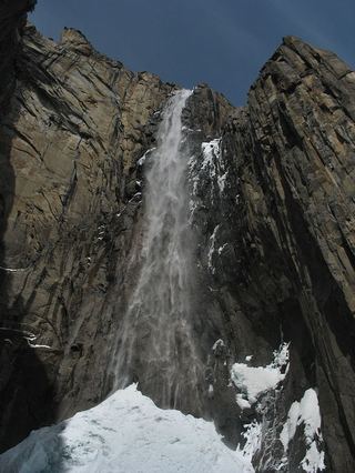 Ribbon FallResearched visit notes1,612 ft (491.4 m) · Mariposa County, CA12 miSE
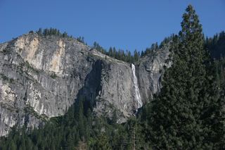 Silver Strand FallsPartial guide: viewpoint from a travel company guide, not confirmed by NPS574 ft (175 m) · Mariposa County, CA12 miSE