Preston Falls
Tuolumne County, California
Your visit at a glance
- Waterfall height
- Not recorded
- Location
- Tuolumne County, California
- Access status
- National forest trail
- The walk
- About 7.5 miles return
- Ground & access
- Gentle grades but exposed and hot. Expect poison oak, ticks and some brush or fallen trees.
Drive to the Early Intake facility off Cherry Lake Road, cross the bridge and turn right to the parking area. Follow Preston Falls Trail east along the north bank of the Tuolumne River, climbing gently through the canyon, to Preston Falls at the end of the route. Return the same way.
Plan your visit
Early Intake, Cherry Lake Road, by Preston Falls Trail up the north side of the Tuolumne River
10Adventures gives a GPS-measured return distance of 12.1 km (about 7.5 miles). Source figure.
Gentle grades but exposed and hot. Expect poison oak, ticks and some brush or fallen trees.
Where to start
Parking area at Early Intake: after crossing the bridge, turn right.
Timing & water
10Adventures lists May to November. Current trail and road conditions unverified.
Before you go
No day-use fee is stated. A wilderness permit is listed only for backcountry camping.
Visitor informationMore waterfalls nearby
Within 40 straight-line miles. Road and trail distances will differ.
- Carlon FallsResearched walking routeTuolumne County, CA6.0 miS
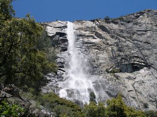 Tueeulala FallsPartial guide: shoreline viewing route verified; exact viewpoint and parking approach unknown.915 ft (279 m) · Tuolumne County, CA8.1 miNE
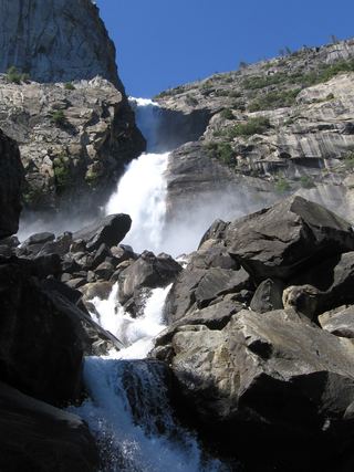 Wapama FallsResearched walking route1,286 ft (392 m) · Tuolumne County, CA8.5 miNE
- Jawbone FallsPartial guide: exact drop, viewing spot and parking are not confirmedTuolumne County, CA9.9 miNW
 Rancheria FallsOfficial NPS trail; long day hike or overnightTuolumne County, CA11 miNE
- Little Nellie FallsPublished visitor route on Old Coulterville Road; park entrance feeMariposa County, CA13 miSE
- Diana FallsPartial guide: trailhead location documented; parking space and rules not described20 ft (6 m) · Mariposa County, CA13 miSW
- Upper CascadesMariposa County, CA14 miSE
- The CascadesRoadside viewing area documented; park entrance fee appliesMariposa County, CA14 miSE