Rancheria Falls
Tuolumne County, California
Your visit at a glance
- Waterfall height
- Not recorded
- Location
- Tuolumne County, California
- Access status
- Official NPS trail; long day hike or overnight
- The walk
- About 13 miles return (NPS figure)
- Ground & access
- Moderate ups and downs along the reservoir with about 1,900 feet of total gain and loss. Exposed and hot in summer.
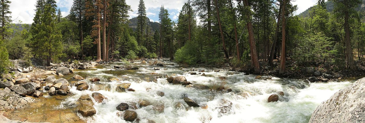
Start at O’Shaughnessy Dam. Cross the dam and pass through the short tunnel, then follow the trail along the reservoir shoreline past Tueeulala and Wapama Falls and on to Rancheria Falls. Return the same way. It can be done as a long day hike or an overnight trip.
Plan your visit
O’Shaughnessy Dam, through the tunnel and along the Hetch Hetchy Reservoir shoreline past Wapama Falls to Rancheria Falls
NPS lists Rancheria Falls at 13 mi (21 km) roundtrip with 1909 ft (581 m) of gain and loss; 6.5 miles each way.
Moderate ups and downs along the reservoir with about 1,900 feet of total gain and loss. Exposed and hot in summer.
Where to start
Trailhead at O’Shaughnessy Dam, Hetch Hetchy. The NPS pages read do not describe the parking area.
Timing & water
One of the longest hiking seasons in the park. Waterfalls are strongest in spring and early summer.
Before you go
Yosemite entrance fee applies ($35 per private vehicle per NPS). Overnight trips need a wilderness permit. Pets are not allowed on the dam or hiking trails.
Visitor informationVisit sources
More waterfalls nearby
Within 40 straight-line miles. Road and trail distances will differ.
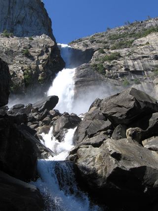 Wapama FallsResearched walking route1,286 ft (392 m) · Tuolumne County, CA3.2 miW
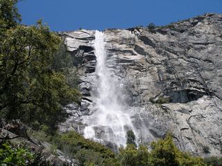 Tueeulala FallsPartial guide: shoreline viewing route verified; exact viewpoint and parking approach unknown.915 ft (279 m) · Tuolumne County, CA3.5 miW
- Preston FallsNational forest trailTuolumne County, CA11 miSW
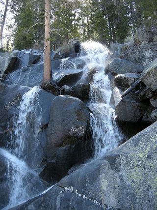 Quaking Aspen FallsApproach or parking partly unconfirmedMariposa County, CA11 miSE
- Lower Cathedral Creek FallsTuolumne County, CA11 miE
- Upper Cathedral Creek FallsTuolumne County, CA11 miE
- Carlon FallsResearched walking routeTuolumne County, CA13 miSW
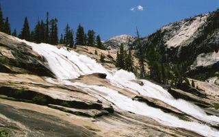 Waterwheel FallsOfficial long route; Tioga Road seasonal accessTuolumne County, CA14 miE
- LeConte FallsOfficial trail route; long day hike, exact distance not publishedTuolumne County, CA14 miE