San Antonio Falls
San Bernardino County, California
Your visit at a glance
- Waterfall height
- Not recorded
- Location
- San Bernardino County, California
- Access status
- Permitted parking and current access unconfirmed
- The walk
- 1.4 miles round trip
- Ground & access
- Mostly paved uphill route, followed by a steep dirt and rocky path if approaching the base. Snow and wind can make this substantially harder.
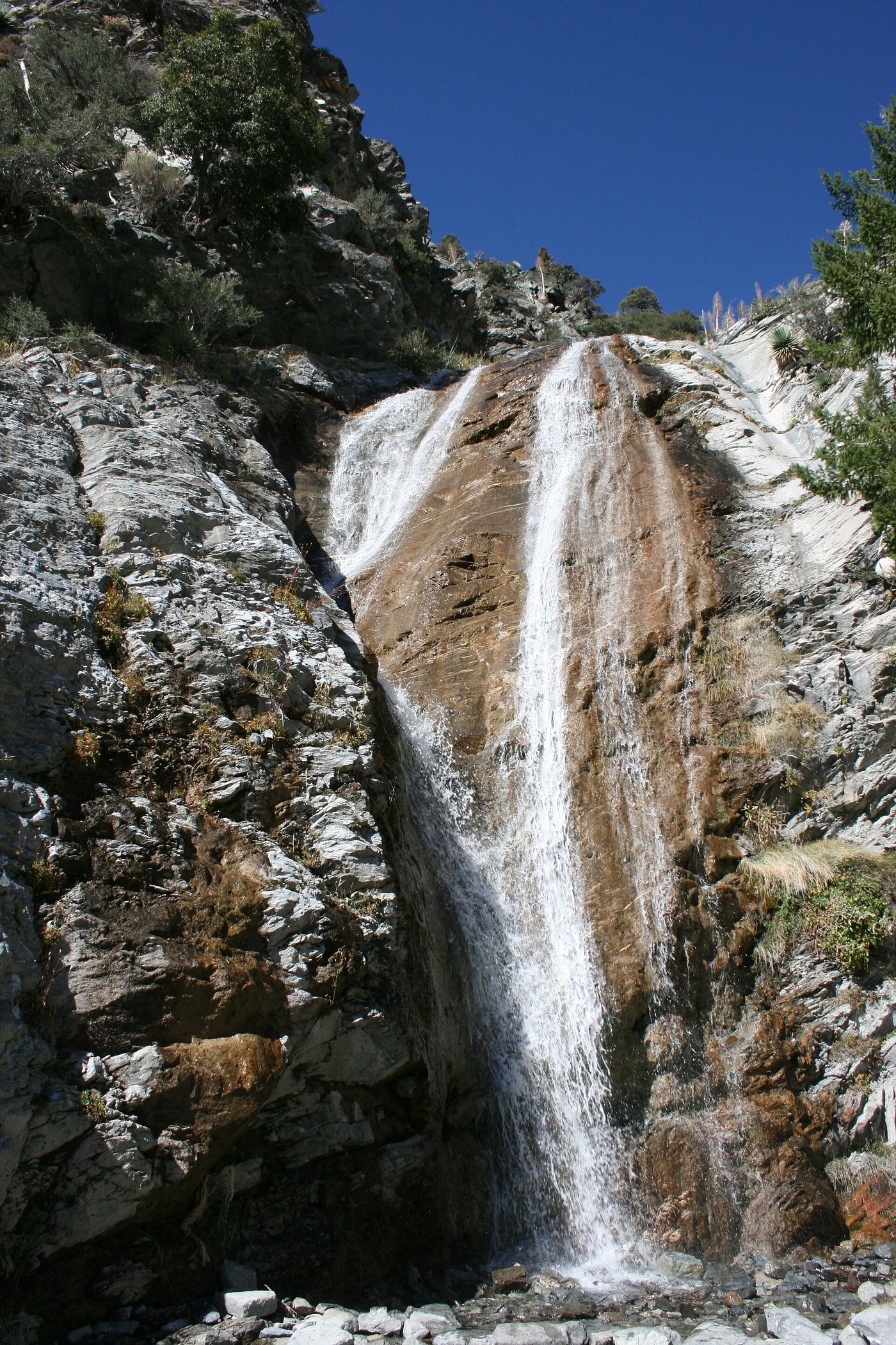
CalWild’s route starts by the pedestrian-access gate near Manker Campground. Most of the route is paved; visitors can view the falls before the difficult dirt descent.
Plan your visit
Falls Road from near Manker Campground
CalWild gives a 0.7-mile outward route with 285 feet of climbing. A distant view precedes the rough final path.
Mostly paved uphill route, followed by a steep dirt and rocky path if approaching the base. Snow and wind can make this substantially harder.
Where to start
A permitted parking location for visiting this waterfall has not been confirmed.
Timing & water
CalWild favors early spring flow. The 2022 route article does not confirm current road or fire-closure status.
Before you go
CalWild states that an Adventure Pass is required for parking. Verify the current Forest Service rule and closure map.
Visitor informationVisit sources
More waterfalls nearby
Within 40 straight-line miles. Road and trail distances will differ.
- Canyon FallsSan Bernardino County, CA4.8 miS
- Bonita FallsApproach or parking partly unconfirmed98 ft (30 m) · San Bernardino County, CA7.9 miE
- Etiwanda FallsEstablished preserve trail and lot; paid parking reportedSan Bernardino County, CA8.7 miSE
- Wolfskill FallsLos Angeles County, CA9.3 miSW
- Dorr Canyon Falls33 ft (10 m) · Los Angeles County, CA12 miNW
- Middleman FallsSan Bernardino County, CA12 miE
- West Fork WaterfallLos Angeles County, CA15 miW
- Upper Double FallsLos Angeles County, CA16 miW
- Lower Double FallsLos Angeles County, CA16 miW