Twin Falls
Mono County, California
Your visit at a glance
- Waterfall height
- Not recorded
- Location
- Mono County, California
- Access status
- Researched walking route
- The walk
- Parking-area viewpoint
- Ground & access
- Upper Lakes Basin Path and developed viewpoint; vault toilets and picnic tables.
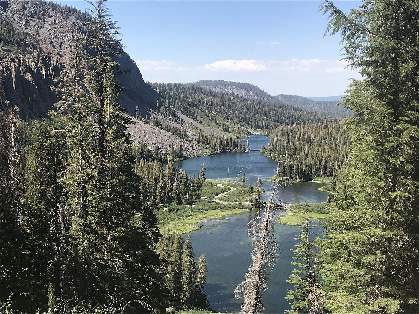
Photo credit
Photo: Region 5 Photography, Public domain, via Wikimedia CommonsThis is a viewpoint above Twin Lakes Falls, looking north over Twin Lakes; it is not a verified route to the waterfall base.
Plan your visit
Twin Falls Overlook on the upper Lakes Basin Path
No separate parking-to-viewpoint distance is published. Do not use the full Lakes Basin Path length as this visit distance.
Upper Lakes Basin Path and developed viewpoint; vault toilets and picnic tables.
Where to start
The Town of Mammoth Lakes trail system explicitly identifies parking at Twin Falls Overlook.
Timing & water
Winter access is by snowshoe or cross-country ski only.
Before you go
Fee and reservation requirements not stated.
Visitor informationVisit sources
More waterfalls nearby
Within 40 straight-line miles. Road and trail distances will differ.
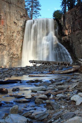 Rainbow FallsRoad closed weekdays through November 1, 2026; full road closure from November 2. Partial guide: day-use parking approach unverified.Madera County, CA4.1 miW
- Lower Rainbow FallsPublished monument trail with half-mile extension to Lower Falls; shuttle or entry feeMadera County, CA4.5 miW
- Minarets FallsPublished trail route; mandatory shuttle fee; seasonal roadMadera County, CA4.8 miNW
- Horsetail FallsResearched route and starting areaMono County, CA11 miSE
- Horsetail FallsPartial guide: viewing route documented; exact match to this listing probableMono County, CA12 miNW
- Granite Creek FallsMadera County, CA15 miSW
- Twin FallsFresno County, CA18 miS
- Florence FallsMariposa County, CA21 miNW
- Rancheria FallsSource-reviewed route and parking40 ft (12.2 m) · Fresno County, CA26 miS