Horsetail Falls
Mono County, California
Your visit at a glance
- Waterfall height
- Not recorded
- Location
- Mono County, California
- Access status
- Researched route and starting area
- The walk
- Distance to Horsetail Falls unknown.
- Ground & access
- Natural trail with water crossings; high spring runoff can make crossings hazardous.
The official McGee Pass route explicitly passes toward Horsetail Falls in lower McGee Canyon.
Plan your visit
McGee Pass Trail through lower McGee Canyon
Distance to Horsetail Falls unknown.
Natural trail with water crossings; high spring runoff can make crossings hazardous.
Where to start
Paved lot at the end of McGee Creek Road, reached from US 395 at the north end of Crowley Lake; last road mile is dirt.
Timing & water
Spring runoff can produce high crossings; other seasonal road conditions unknown.
Before you go
No day-use wilderness permit required. Overnight trips require permits; parking fee not stated.
Visitor informationVisit sources
More waterfalls nearby
Within 40 straight-line miles. Road and trail distances will differ.
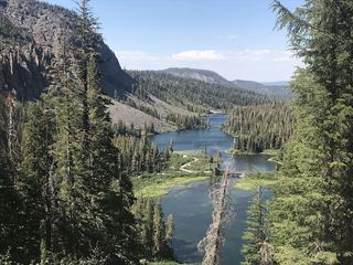 Twin FallsResearched walking routeMono County, CA11 miNW
- Twin FallsFresno County, CA14 miSW
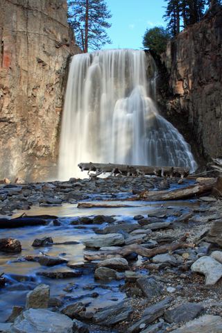 Rainbow FallsRoad closed weekdays through November 1, 2026; full road closure from November 2. Partial guide: day-use parking approach unverified.Madera County, CA15 miW
- Lower Rainbow FallsPublished monument trail with half-mile extension to Lower Falls; shuttle or entry feeMadera County, CA15 miW
- Minarets FallsPublished trail route; mandatory shuttle fee; seasonal roadMadera County, CA16 miNW
- Horsetail FallsPartial guide: viewing route documented; exact match to this listing probableMono County, CA22 miNW
- Granite Creek FallsMadera County, CA23 miW
- Lower Evolution Creek FallsFresno County, CA24 miS
- Upper Evolution Creek FallsFresno County, CA24 miS