Lower Rainbow Falls
Madera County, California
Your visit at a glance
- Waterfall height
- Not recorded
- Location
- Madera County, California
- Access status
- Published monument trail with half-mile extension to Lower Falls; shuttle or entry fee
- The walk
- About 6 miles return (derived)
- Ground & access
- Sandy trail through burned forest with about 325 feet of change to Rainbow Falls, more on the descent to Lower Falls and back. Little shade.
From the trailhead beside the Devils Postpile ranger station, follow the trail past Devils Postpile to Rainbow Falls and its two overlooks. Continue on the trail half a mile downstream along the Middle Fork San Joaquin River to Lower Falls. Return the same way. Lower Falls is below Rainbow Falls; do not confuse the two.
Plan your visit
Devils Postpile ranger station trailhead to Rainbow Falls, then the trail downstream to Lower Falls
Hikespeak gives 5.1 miles round trip to the Rainbow Falls overlooks and says another trail continues half a mile downstream to Lower Falls. Derived: about 6.1 miles return. A shorter approach from Rainbow Falls Trailhead (shuttle stop 9) joins 0.45 mile before Rainbow Falls.
Sandy trail through burned forest with about 325 feet of change to Rainbow Falls, more on the descent to Lower Falls and back. Little shade.
Where to start
Hikespeak says day visitors should park at the Mammoth Mountain ski area and take the shuttle (fees apply). Those allowed to drive pay a per-vehicle fee at Minaret Vista Entrance Station and park in the loop at the end of the road. Check current shuttle rules.
Timing & water
Summer to early fall while Reds Meadow Road is open.
Before you go
Shuttle or vehicle fee applies per the source; current amounts and shuttle requirements not confirmed here.
Visitor informationVisit sources
More waterfalls nearby
Within 40 straight-line miles. Road and trail distances will differ.
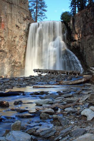 Rainbow FallsRoad closed weekdays through November 1, 2026; full road closure from November 2. Partial guide: day-use parking approach unverified.Madera County, CA0.5 miNE
- Minarets FallsPublished trail route; mandatory shuttle fee; seasonal roadMadera County, CA3.1 miN
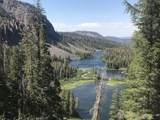 Twin FallsResearched walking routeMono County, CA4.5 miE
- Granite Creek FallsMadera County, CA11 miSW
- Horsetail FallsPartial guide: viewing route documented; exact match to this listing probableMono County, CA12 miN
- Horsetail FallsResearched route and starting areaMono County, CA15 miE
- Florence FallsMariposa County, CA18 miNW
- Twin FallsFresno County, CA18 miSE
- Camino FallsMadera County, CA22 miSW