Lower Falls
Siskiyou County, California
Your visit at a glance
- Waterfall height
- Not recorded
- Location
- Siskiyou County, California
- Access status
- Researched route and starting area
- The walk
- Viewpoint distance unknown.
- Ground & access
- USFS describes the picnic area as ADA accessible.
The picnic area overlooks Lower Falls on the McCloud River.
Plan your visit
Lower Falls Picnic Area overlook
Viewpoint distance unknown.
USFS describes the picnic area as ADA accessible.
Where to start
Lower Falls Picnic Area: from SR 89 follow Fowlers Campground/Lower Falls signs about 1 mile, then right at the fork. Larger vehicles accommodated.
Timing & water
Day use, sunrise to sunset; page marked open when checked October 27, 2026.
Before you go
No site fee. Reservation requirement not stated.
Visitor informationVisit sources
More waterfalls nearby
Within 40 straight-line miles. Road and trail distances will differ.
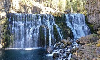 Upper FallsVehicle access closed October 5, 2026–May 1, 2027; winter walking approach unverified.Siskiyou County, CA0.8 miE
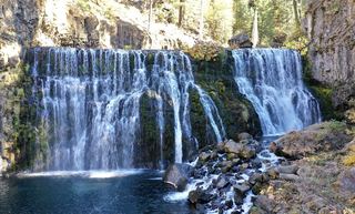 Middle FallsSeasonal road closure; winter walk unmeasuredSiskiyou County, CA0.8 miE
- Lewisia FallsShasta County, CA11 miSW
- Mud Creek FallsPartial guide: distance to the rim vista not stated; distant view onlySiskiyou County, CA12 miNW
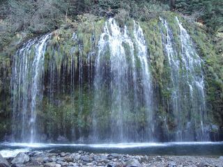 Mossbrae FallsPublic trail proposed; legal approach unverifiedSiskiyou County, CA13 miW
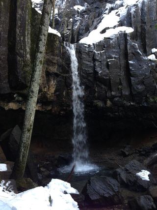 Hedge Creek FallsCity trail with documented trailhead parkingSiskiyou County, CA13 miW
- Ash Creek FallsSiskiyou County, CA13 miNW
- Root Creek FallsPartial guide: last section is an unofficial use trail to a precarious viewpointShasta County, CA16 miW
- Faery FallsPublished hiking route and parking documented; steep final side trailSiskiyou County, CA16 miW