Mud Creek Falls
Siskiyou County, California
Your visit at a glance
- Waterfall height
- Not recorded
- Location
- Siskiyou County, California
- Access status
- Partial guide: distance to the rim vista not stated; distant view only
- The walk
- Not stated; at least 1.5 miles return to the first rim vista
- Ground & access
- Steady climb on a trail; open rim with steep drop-offs into the canyon.
From the Clear Creek trailhead, climb the switchbacks through red fir forest. Where the trail swings close to the edge of Mud Creek Canyon and the forest opens, walk a short way to the rim. Mud Creek Falls is visible about a mile across the canyon. The trail continues up the rim with more views. Reaching the base of the falls requires a difficult cross-country descent that this guide does not cover. Return the same way.
Plan your visit
Clear Creek Trail to the Mud Creek Canyon rim vista
Hike Mt. Shasta places the first canyon-rim clearing after the first 0.75 mile of forest switchbacks but gives no exact distance. The falls are seen from about a mile away across the canyon.
Steady climb on a trail; open rim with steep drop-offs into the canyon.
Where to start
From McCloud, continue 3 miles on Highway 89, turn left on Pilgrim Creek Road for 5.3 miles, left on Forest Road 41N15 for 4.9 miles, straight across Forest Road 31, stay left after 0.1 mile, continue 0.5 mile, then turn left on 41N25 for 2.2 miles to the trailhead. A 2016 commenter reported the last road very rocky.
Timing & water
Summer to early fall when the road is snow-free. The falls flow all year from glaciers and springs.
Before you go
Current fees and permit requirements unknown.
Visitor informationMore waterfalls nearby
Within 40 straight-line miles. Road and trail distances will differ.
- Ash Creek FallsSiskiyou County, CA2.2 miNE
- Coquette FallsSiskiyou County, CA5.7 miNW
- Whitney FallsPartial guide: unmaintained, faint route; current trail and road condition unknownSiskiyou County, CA7.3 miNW
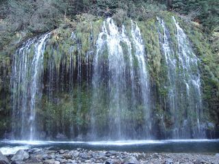 Mossbrae FallsPublic trail proposed; legal approach unverifiedSiskiyou County, CA11 miSW
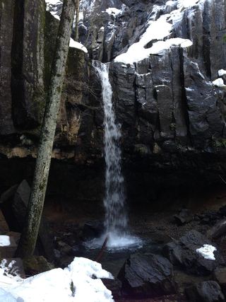 Hedge Creek FallsCity trail with documented trailhead parkingSiskiyou County, CA11 miSW
- Lower FallsResearched route and starting areaSiskiyou County, CA12 miSE
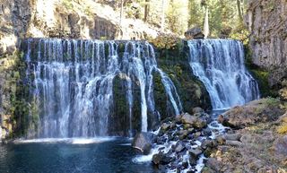 Middle FallsSeasonal road closure; winter walk unmeasuredSiskiyou County, CA12 miSE
 Upper FallsVehicle access closed October 5, 2026–May 1, 2027; winter walking approach unverified.Siskiyou County, CA12 miSE
- Faery FallsPublished hiking route and parking documented; steep final side trailSiskiyou County, CA12 miSW