Whitney Falls
Siskiyou County, California
Your visit at a glance
- Waterfall height
- Not recorded
- Location
- Siskiyou County, California
- Access status
- Partial guide: unmaintained, faint route; current trail and road condition unknown
- The walk
- About 3.2 miles return
- Ground & access
- Unmaintained, faint and overgrown route with steep, loose creek-channel crossings, brush and cairns. Debris flows can change the ground. Navigation skills needed.
Hike Mt. Shasta describes crossing the eroded Bolam Creek channel at the trailhead, following a faint, cairned use trail south along Bolam Creek, crossing the creek again, then climbing through manzanita onto the divide. At a very faint junction, take the right fork through trees to a sandy bench overlooking Whitney Falls. The Forest Service ended maintenance after debris flows; the route is faint, overgrown and confusing in places.
Plan your visit
Whitney Falls Trailhead at the end of Forest Road 43N21 (Bolam Road) to the Whitney Falls overlook
Hike Mt. Shasta gives 3.2 miles total distance and 800 feet of gain. Not measured here; route variations change the distance.
Unmaintained, faint and overgrown route with steep, loose creek-channel crossings, brush and cairns. Debris flows can change the ground. Navigation skills needed.
Where to start
Small trailhead at the end of Forest Road 43N21 with room for about two cars, per Hike Mt. Shasta. The road is rough; Hike Mt. Shasta says it almost demands high clearance.
Timing & water
Spring through fall. The falls flow unpredictably; the Forest Service says the creek usually flows only in midsummer.
Before you go
A Forest Service handout says wilderness permits are required to enter the Mount Shasta Wilderness, which the route enters. Fee for this trailhead not stated in the reviewed sources.
Visitor informationVisit sources
More waterfalls nearby
Within 40 straight-line miles. Road and trail distances will differ.
- Coquette FallsSiskiyou County, CA1.6 miSE
- Ash Creek FallsSiskiyou County, CA6.5 miSE
- Mud Creek FallsPartial guide: distance to the rim vista not stated; distant view onlySiskiyou County, CA7.3 miSE
- Faery FallsPublished hiking route and parking documented; steep final side trailSiskiyou County, CA15 miS
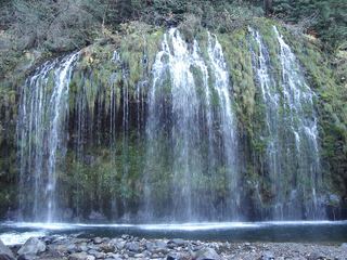 Mossbrae FallsPublic trail proposed; legal approach unverifiedSiskiyou County, CA15 miS
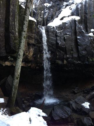 Hedge Creek FallsCity trail with documented trailhead parkingSiskiyou County, CA16 miS
- Lower FallsResearched route and starting areaSiskiyou County, CA19 miSE
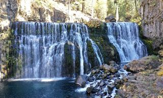 Middle FallsSeasonal road closure; winter walk unmeasuredSiskiyou County, CA19 miSE
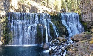 Upper FallsVehicle access closed October 5, 2026–May 1, 2027; winter walking approach unverified.Siskiyou County, CA19 miSE